Biking and Hiking New Zealand - Lake Rotoiti, Westcoast, Arthurs Pass
Next day from Mārahau via Motueka, Korere and Kikiwa to Lake Rotoiti (St Arnaud, Nelson Lakes NP). A long inland ride again after the coast, with the landscape gradually becoming quieter and more mountainous.
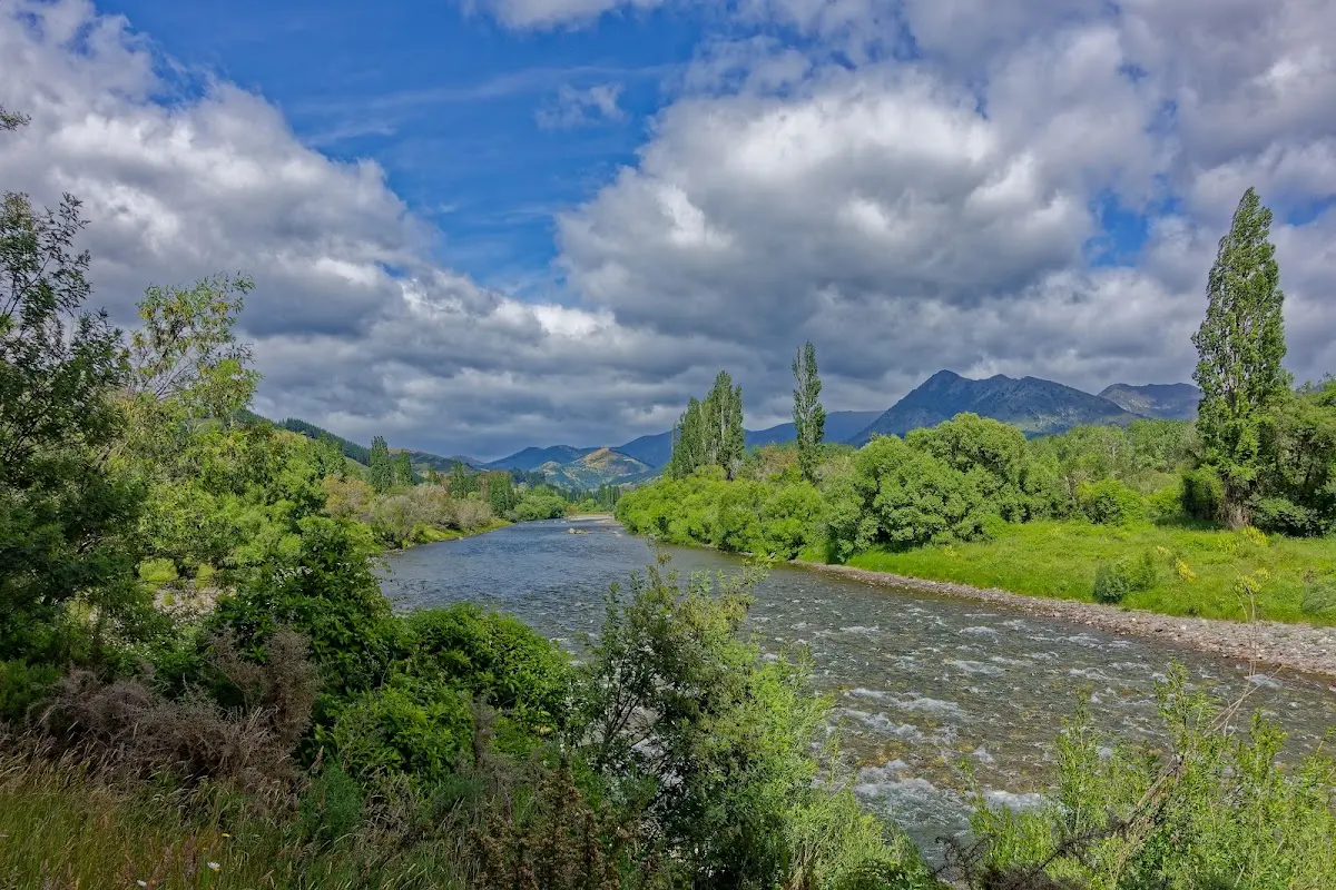
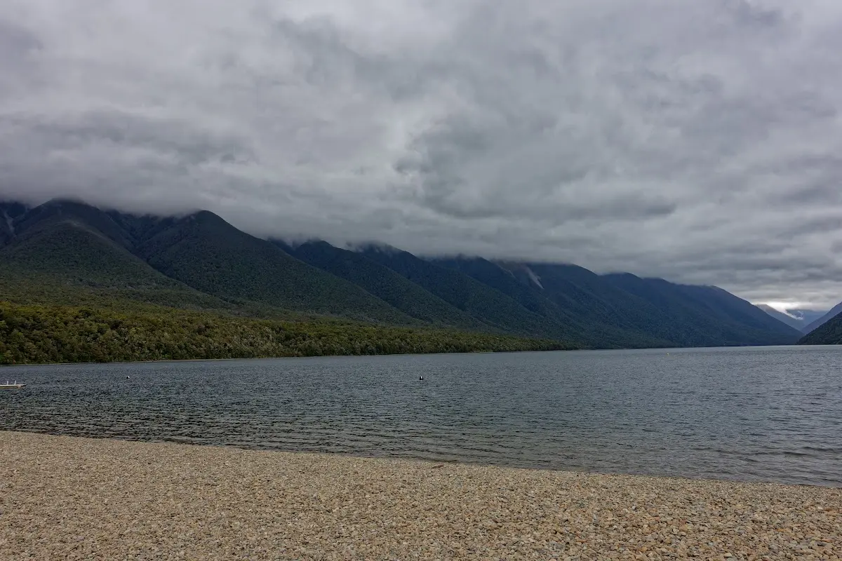
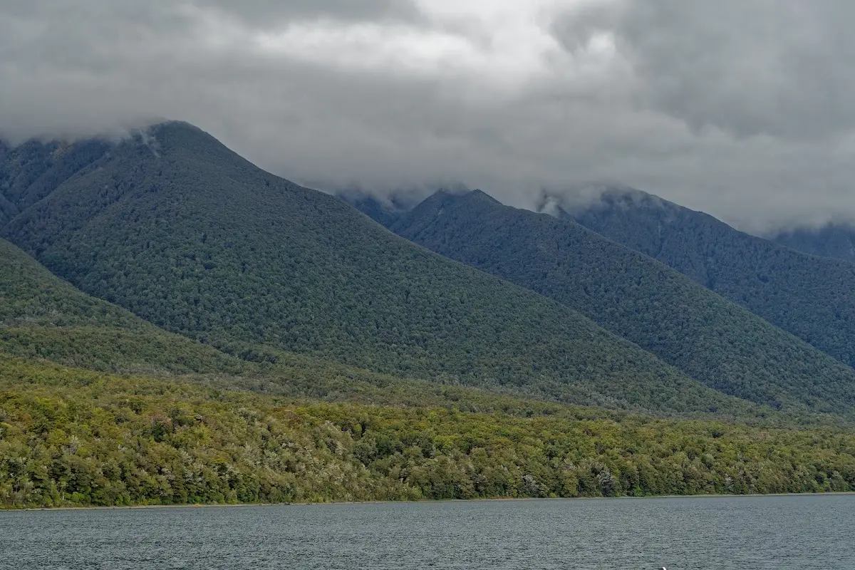
First sight of Lake Rotoiti, cloud-wreathed and beech-fringed under a grey sky.
Lake Rotoiti
Lake Rotoiti, also known as Lake Arthur, is a significant mountain lake in New Zealand's Tasman Region, within Nelson Lakes National Park. Fed by the Travers River, it drains into the Buller River and is surrounded by beech forests. The lake, 82 metres deep, sits near the small community of Saint Arnaud. Its Māori name, Rotoiti, means "little lake."
First seen by Europeans in 1843, it was named Lake Arthur by Charles Heaphy, though the Māori name persisted. The lake was once part of John Kerr's Lake Station, reverting to the crown after mismanagement by his son. Popular for tramping, waterskiing, and fishing, it features tracks like the Lakehead and Lakeside tracks and a water taxi service to huts at its head, with introduced trout drawing recreational fishers.
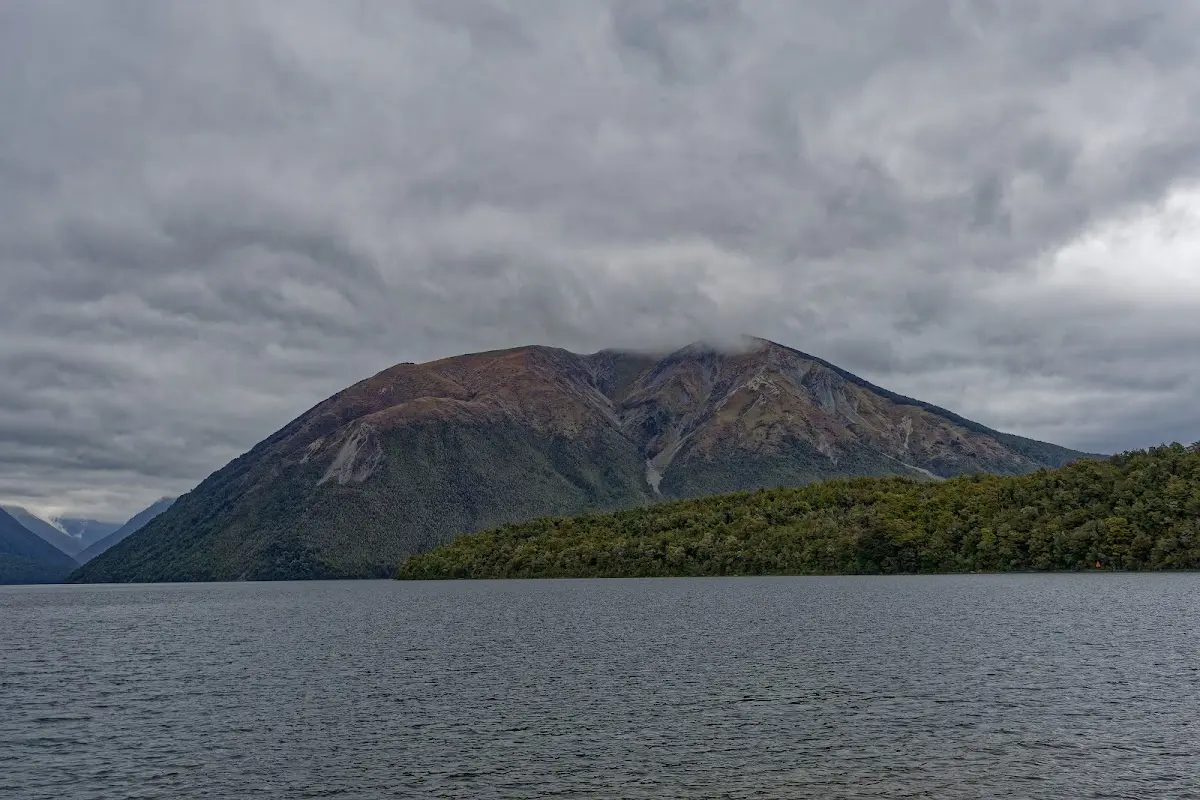
At 8 a.m. I decided to extend my stay at the campsite by one more night, then went into the village for breakfast. By 9 a.m. I was off from the Mount Robert car park, returning by a different route and then following the Lakeside Track, which conveniently ended right at my campsite. At the café I had a large portion of wedges with mayo and chilli sauce — both excellent and very generous. In the afternoon I walked the Loop Track east of the lake. The campsite at Mount Robert was quite busy. I met an Englishman and two girls, one from Germany and one from the UK, who were planning to go on to Angelus Hut. The weather here was expected to improve tomorrow, although the West Coast was still forecast to be poor.
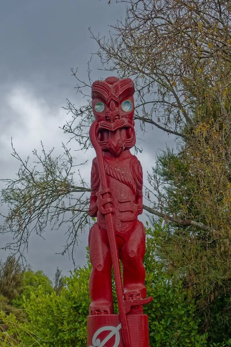
A carved red pouwhenua marker with paua-shell eyes, standing sentinel near the campsite.
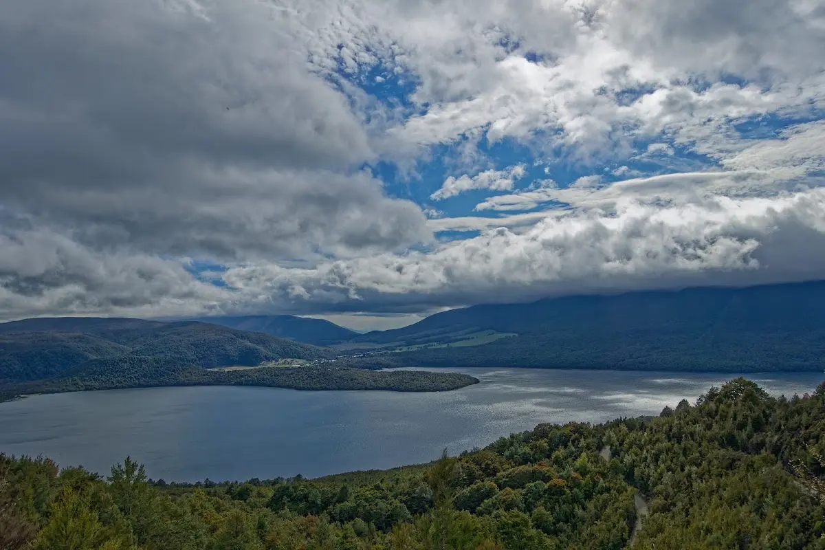
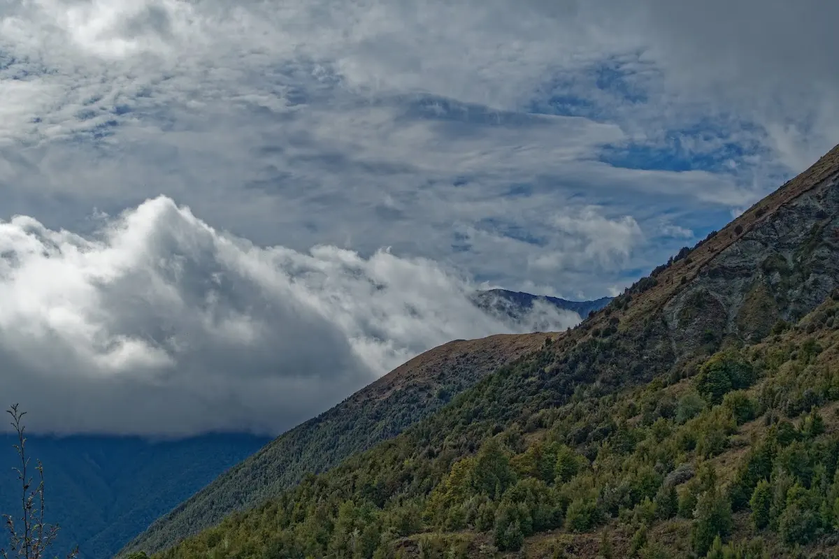
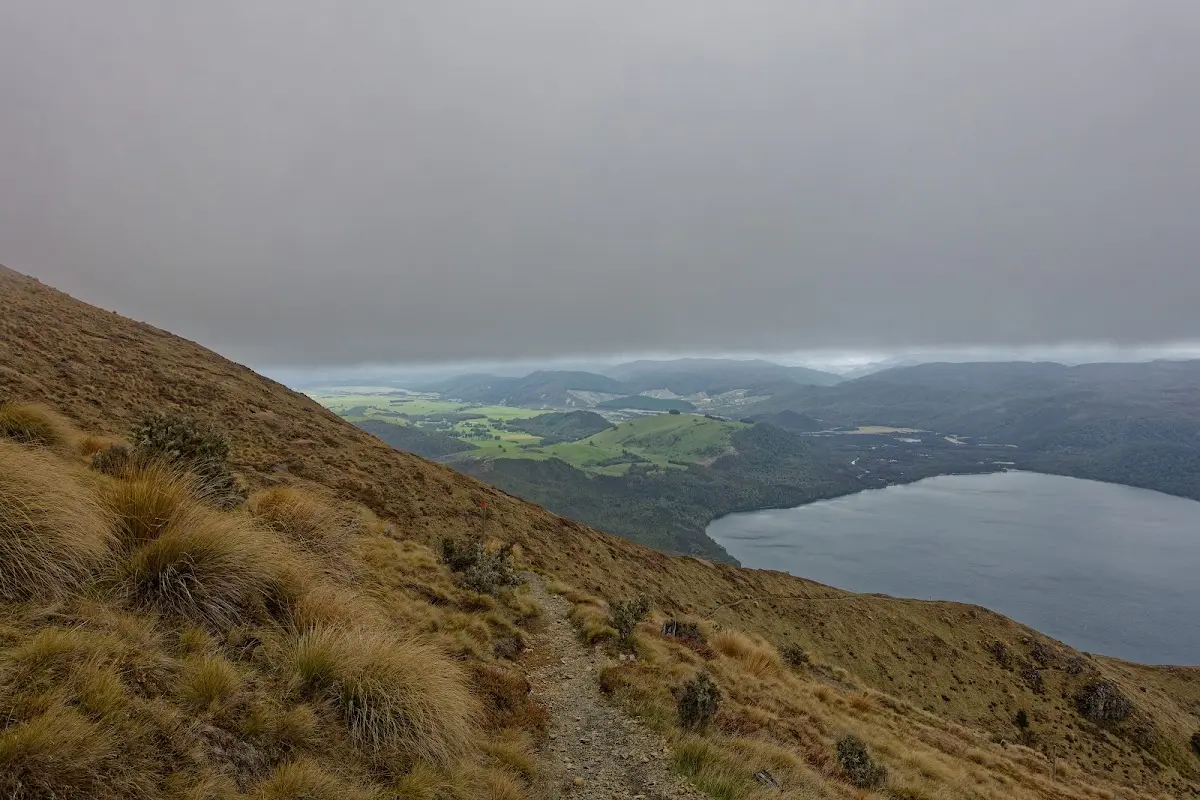
A tussock track descending above the lake, the whole valley spread out beyond.
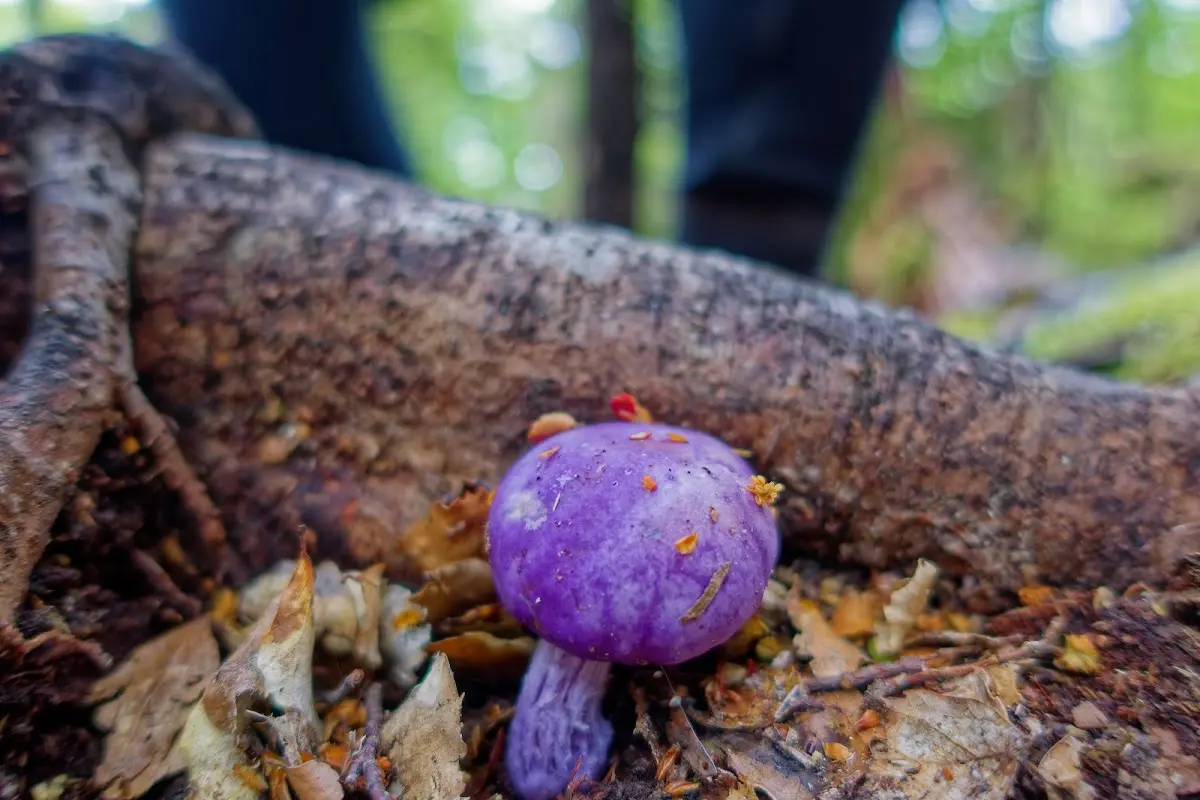
A vividly purple native fungus on the beech-forest floor — colour you don't expect in the bush.
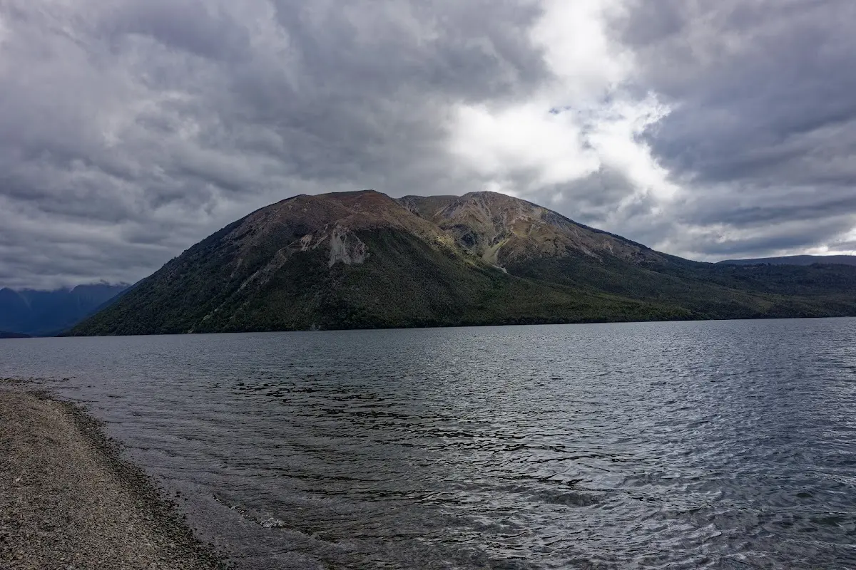
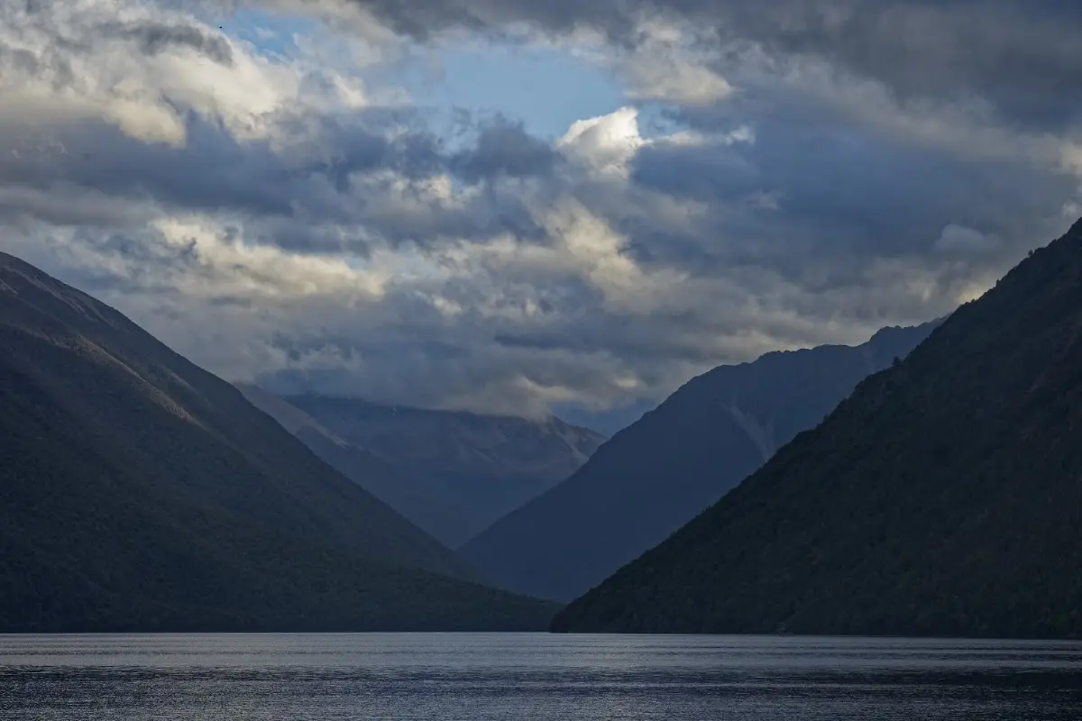
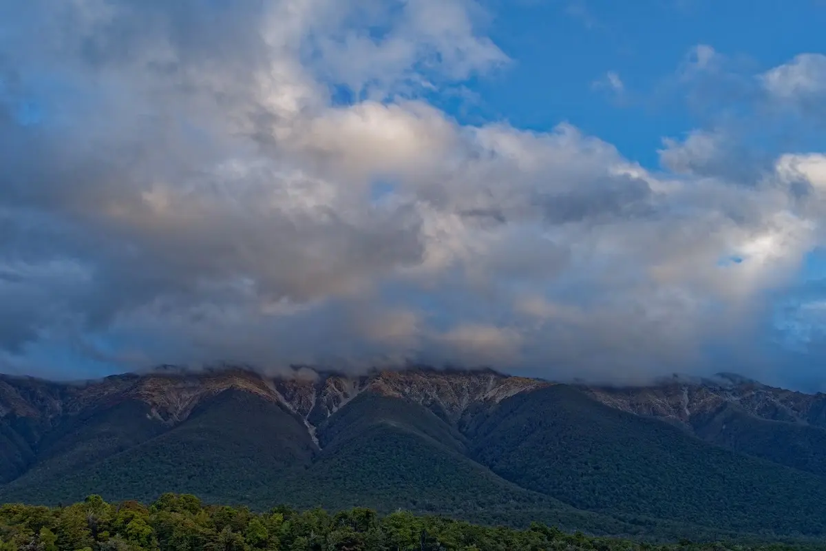
Sunset clouds catching gold above the ridgeline — a good sign for tomorrow's long ride to the coast.
A long ride — about 190 km — from St Arnaud to the West Coast, including a detour to the seal colony at Cape Foulwind. About 30 km east of Westport the weather looked rather grim and rain set in, but 25 km later the sky cleared again at exactly the right moment.
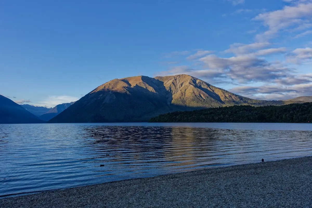
Clear blue morning at last — right before a 190 km day toward the coast.
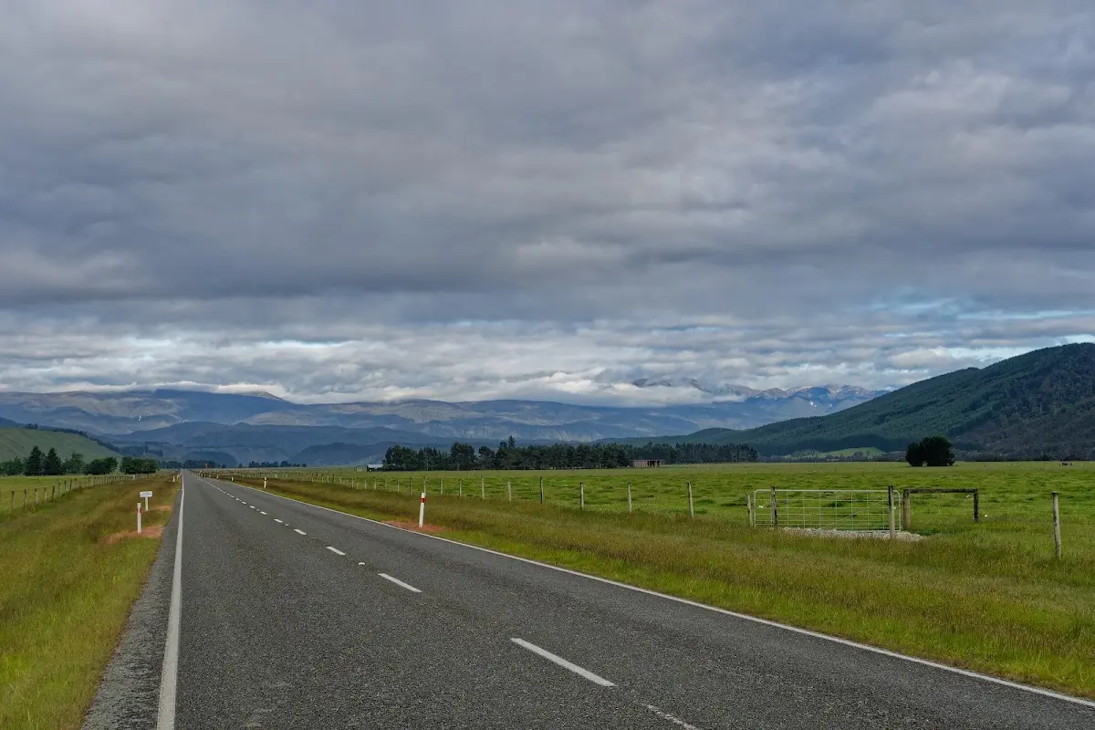
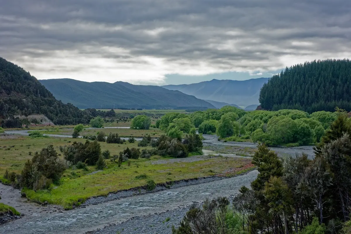
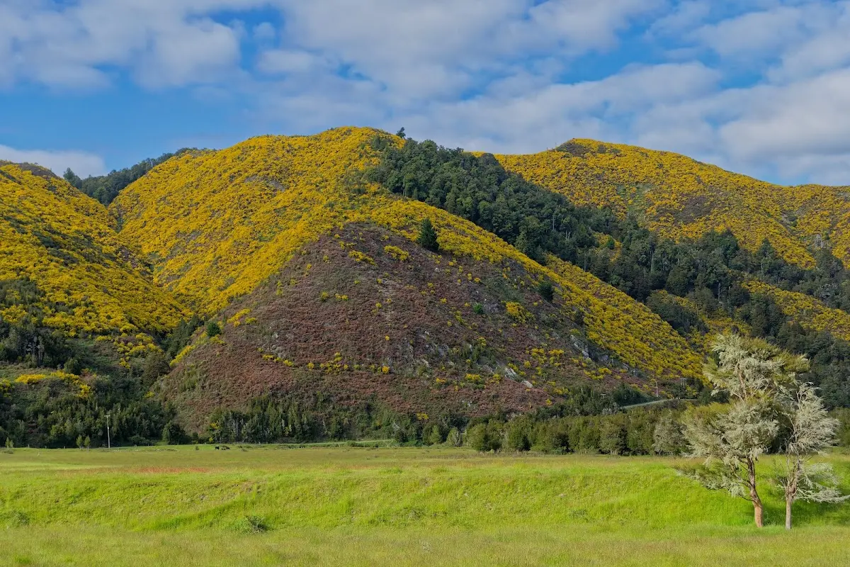
Hillsides gone bright yellow with flowering gorse — a weed, but a spectacular one in late spring.
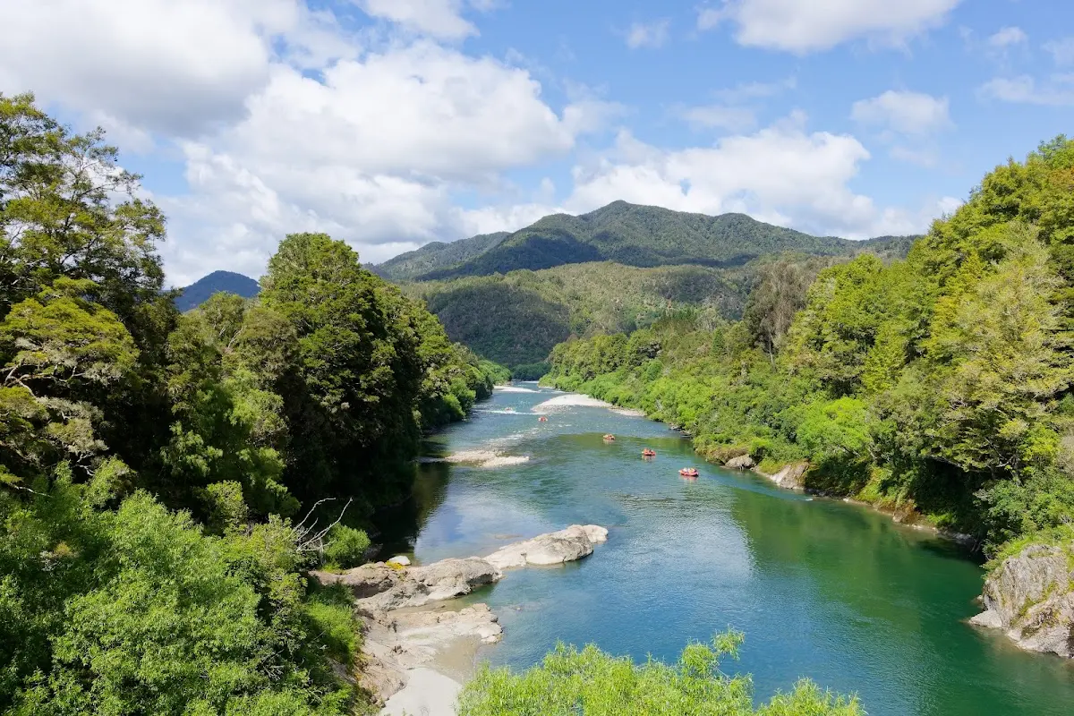
Rafters running the Buller River's green water below the gorge road.
Buller Gorge, Lyell and Murchison Earthquake
Buller Gorge Swingbridge Adventure and Heritage Park is a rich history site with flora and fauna to explore. The Buller River, which flows from Lake Rotoiti to the Tasman Sea, has a complex history of floods, earthquakes, and goldmining.
Māori travellers used the river as a highway and helped early European explorers and goldminers navigate its treacherous rapids. The Iron Bridge, built in 1890, replaced a punt that had operated on the river for many years.
Lyell, in the Buller Gorge on the South Island, is a historic gold mining town on State Highway 6, 18 km northeast of Inangahua. It was named by geologist Julius von Haast after British geologist Charles Lyell, whose work influenced Charles Darwin and who was a friend of Sir George Grey.
The gold rush at Lyell began in 1862, when Māori prospectors found gold in Lyell Creek, a tributary of the Buller. In 1869, Italian miners Antonio Zala and Giorgio Zanetti found gold in quartz veins nearby; that reef was mined from 1872 to 1912, with Lyell and Reefton the only successful quartz reef sites on the West Coast.
Despite its remote, difficult conditions, Lyell's population reached about 100 by 1863. By the 1870s it had a main street, Cliff St, with banks, newspaper offices, and hotels, peaking at over 2,000 people in the late 1880s. By 1901 the population had fallen to 90, with 40 children at the local school, and in 1905 the Alpine Extended Gold Mining Co Ltd still employed 60 people.
The 1929 Murchison Earthquake, magnitude 7.8, caused significant damage and loss of life. The White Creek Fault was especially affected, with a 4.5m uplift still visible today, and the quake also triggered landslides that blocked the Buller River.
Small-scale gold dredging still continues in the area. The Buller Gorge Swingbridge Adventure and Heritage Park offers gold jewellery made from nuggets found in the river, and a sluice and stack where miners once used hydraulic sluicing to extract gold.
The park's history also includes people like Biddy of the Buller, who lived in hope of finding the "mother lode." A shortage of flat land in the gorge limited the shift from mining to farming, and some kept working gold claims to supplement their income.
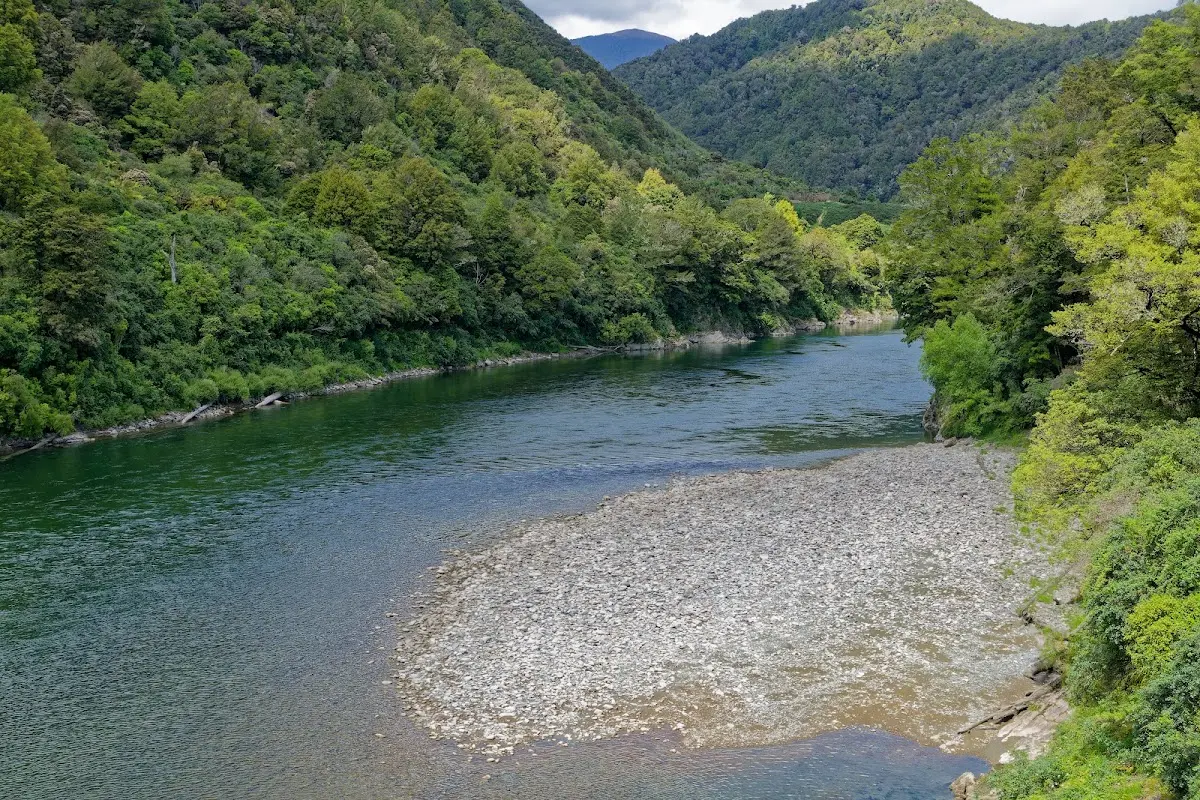
Deep in the Buller Gorge, the river running dark green between steep bush walls.
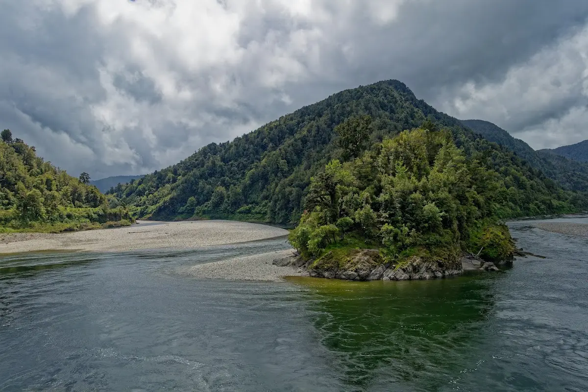
A wooded island splitting the Buller mid-stream, storm clouds gathering — the rain catching up 30km out from Westport.
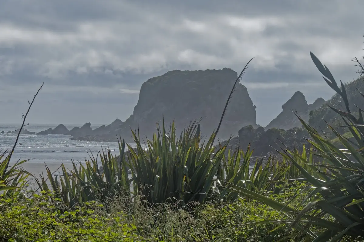
First sight of the West Coast surf, framed by flax — the sky cleared again at exactly the right moment.
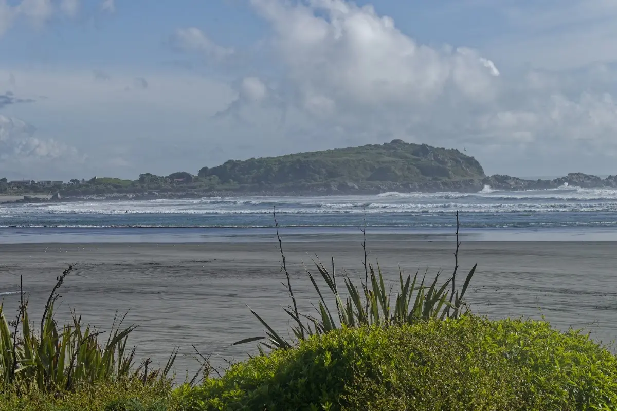
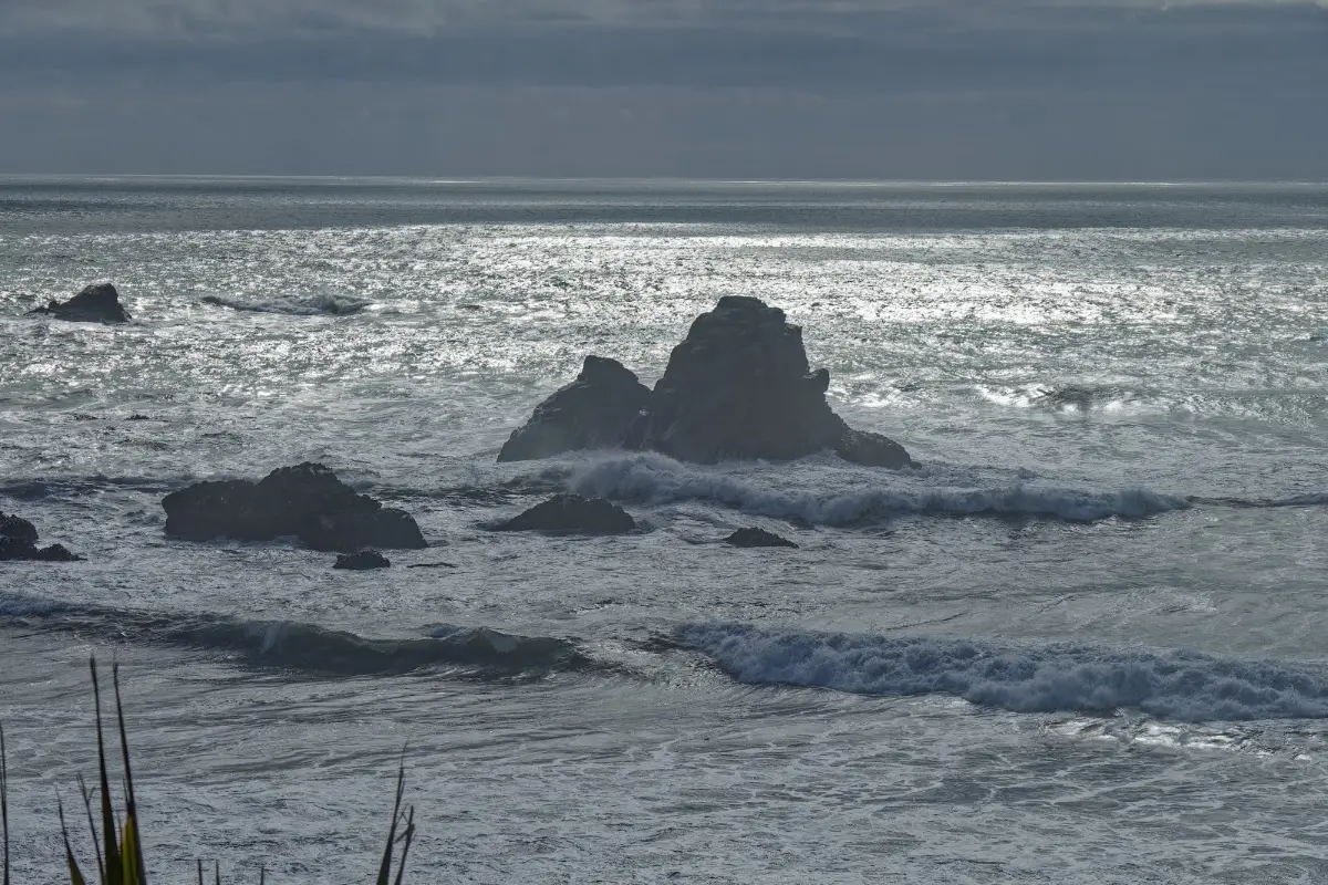
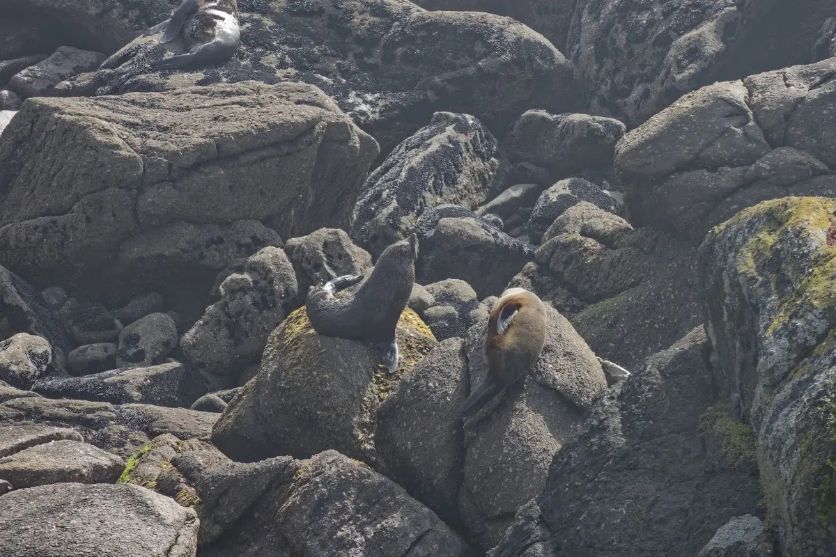
The Cape Foulwind fur seal colony — several stretched out over the boulders, at ease with the surf below.
Seals at Cape Foulwind
A female New Zealand fur seal remains at the same colony throughout her life. After giving birth in late November and mating about a week later, she alternates between sea feeding trips lasting a few days and nursing her playful pups for up to seven days. This makes breeding colonies, such as the one at Tauranga Bay, Cape Foulwind, lively places to observe year-round.
Male seals arrive in late November and compete for mating rights. Successful males attract groups of up to 16, but usually fewer than seven, females. During the breeding season, males stay ashore without feeding for up to two months, typically returning to the sea by mid-January.
Abel Tasman was the first European to see the cape, on 14 December 1642. In his honour, a mounted astrolabe and interpretive display sit on a spur overlooking Tauranga Bay. Tasman named it Rocky Cape, but Captain Cook later renamed it Cape Foulwind after his ship, the Endeavour, was blown far out to sea by bad weather here.
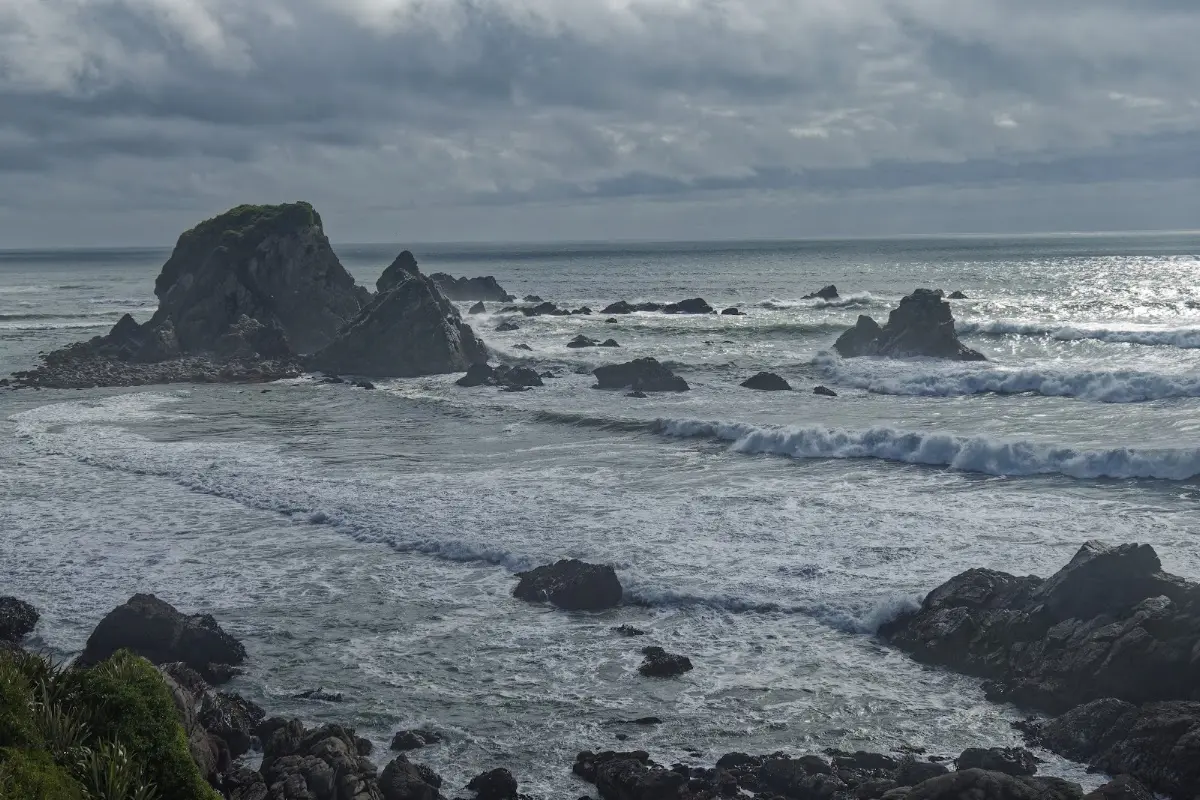
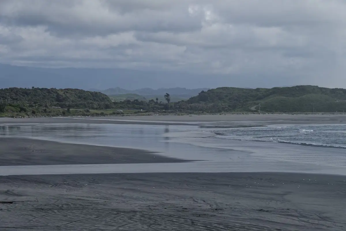
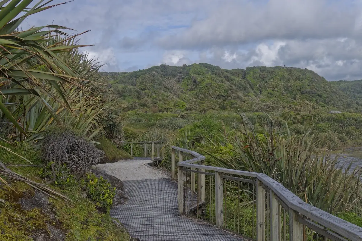
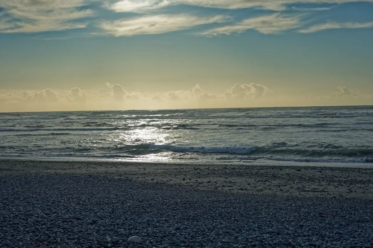
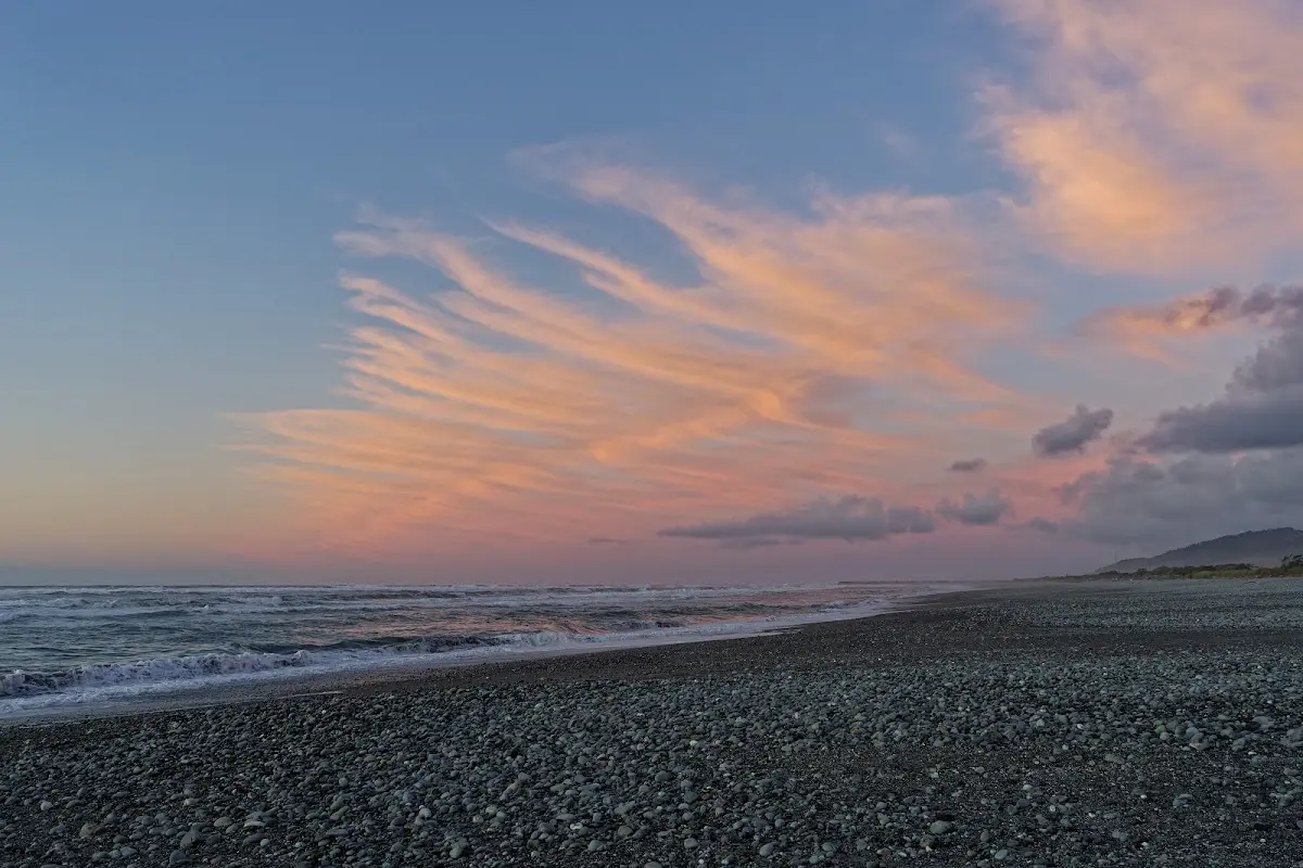
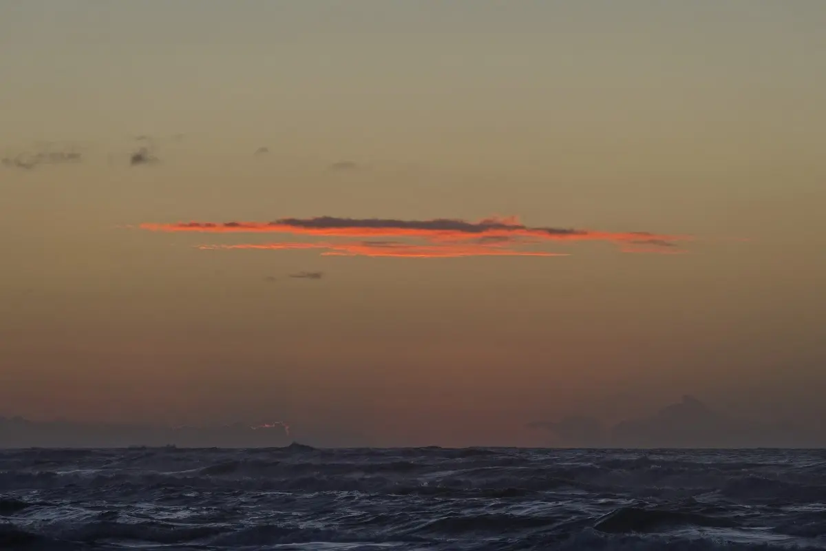
The next day brought very heavy rain along the coast. So instead of Pancake Rocks at Punakaiki, it was fish and chips and a lot of tea. But the owner of the pub told me there might still be a nice sunset in Greymouth. And indeed, the pouring rain stopped about 1 km before Greymouth, and that evening there really was a fantastic sunset — with my tent only 30 metres from the beach.
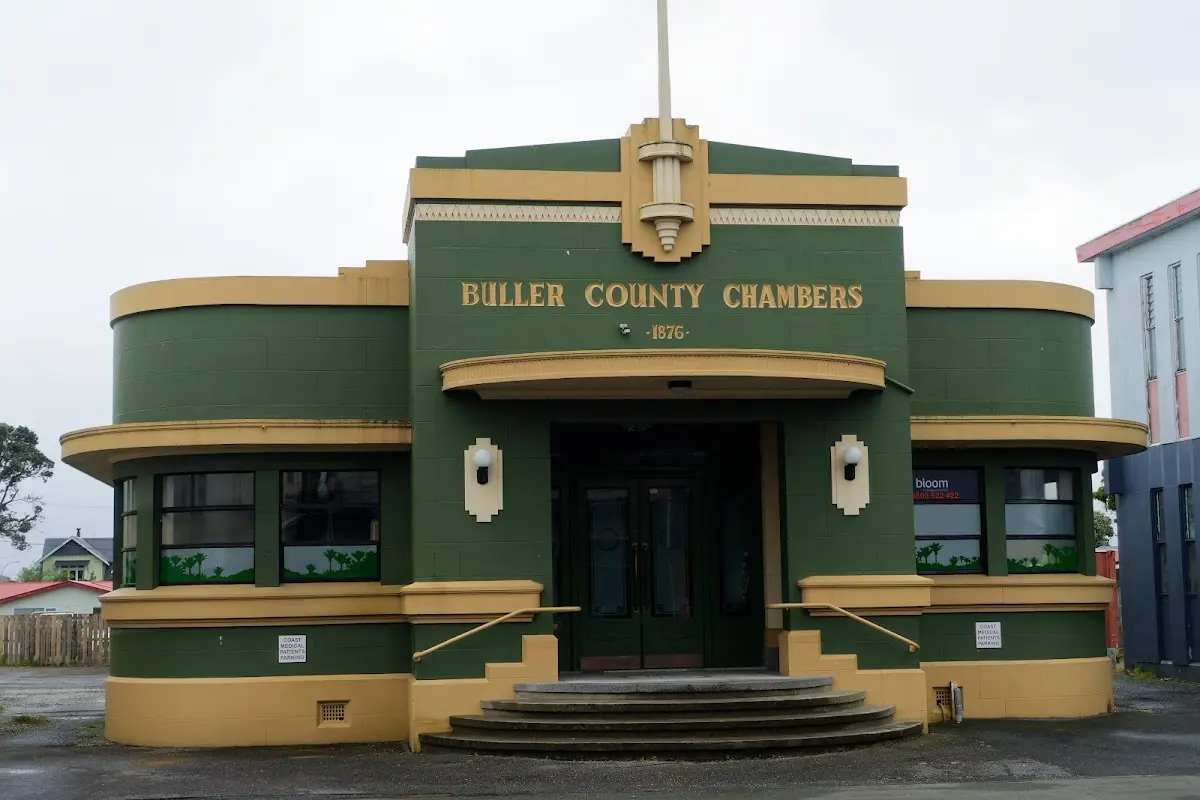
The Buller County Chambers in Westport — a proud Art Deco face on a small-town council building.
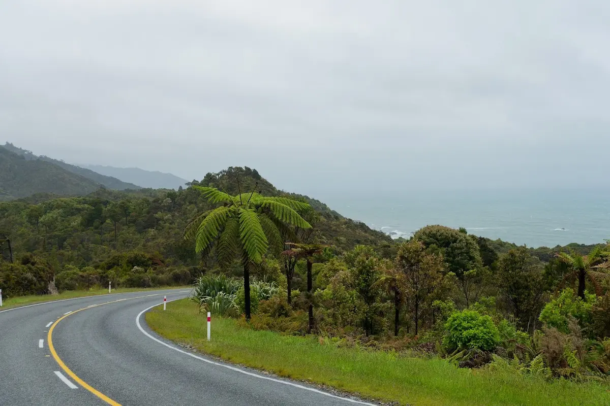
The coast road curving south, a lone tree fern leaning out over the tarmac.
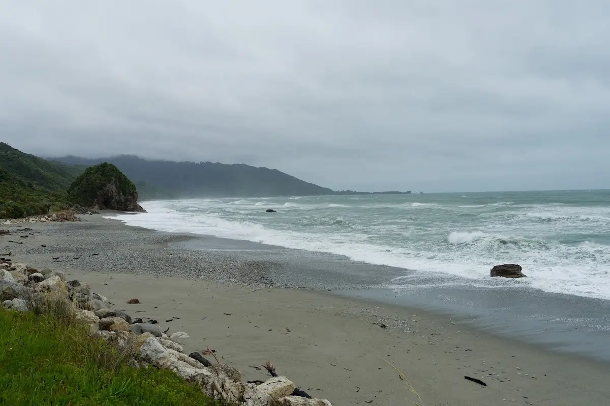
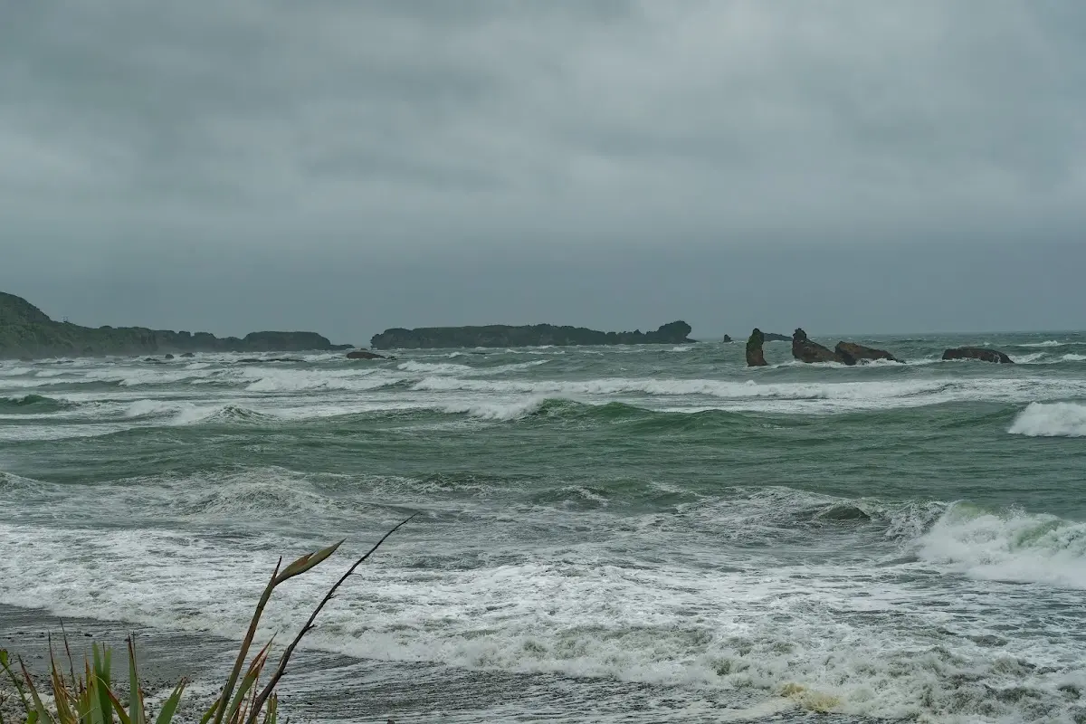
Rough green surf near Punakaiki, the Pancake Rocks stacks already visible offshore.
Pancake Rocks
The Pancake Rocks and Blowholes are a striking coastal rock formation at Dolomite Point near Punakaiki on the South Island. This popular attraction is part of Paparoa National Park and known for its unique geology.
The formation results from both karst and coastal erosion. The limestone dates back to the Oligocene period (22–30 million years ago), formed from shell debris that accumulated on the sea floor and, over millions of years, was buried under sand and mud and turned to limestone through lithification.
The distinctive "pancake" look comes from stylobedding, where horizontal planes of stronger limestone are separated by weaker mudstone; erosion has worn the mudstone away, exposing the limestone layers. Ongoing uplift has further shaped the landscape, with Dolomite Point itself an ancient beach surface now elevated 35 metres above sea level.
The blowholes form from erosion of sea caves in the limestone: waves compress air within the caves, forcing water and air out through openings at the surface. They're most active during high tide with strong ocean swells, providing a spectacular natural display.
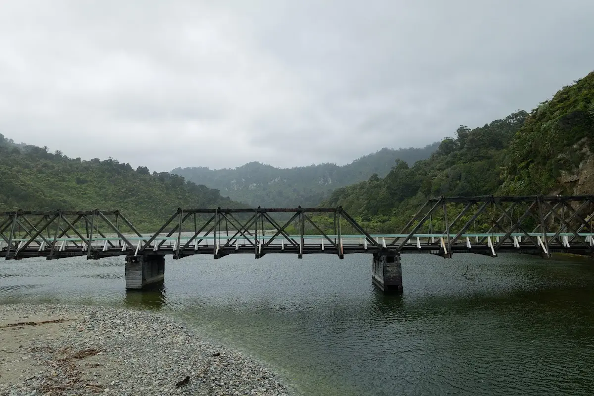
An old timber-and-steel truss bridge over the Punakaiki River, mist hanging in the gorge behind.
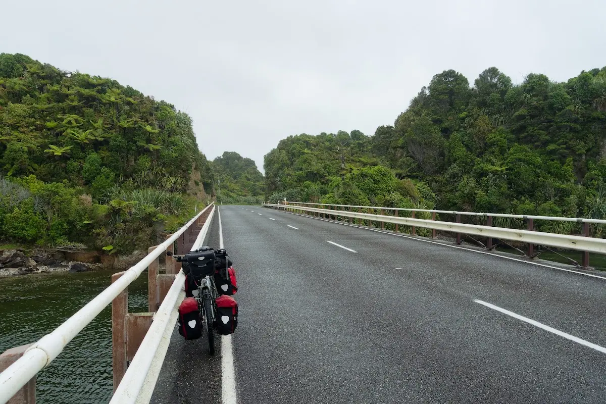
The loaded touring bike leaning against the bridge railing, panniers dripping.
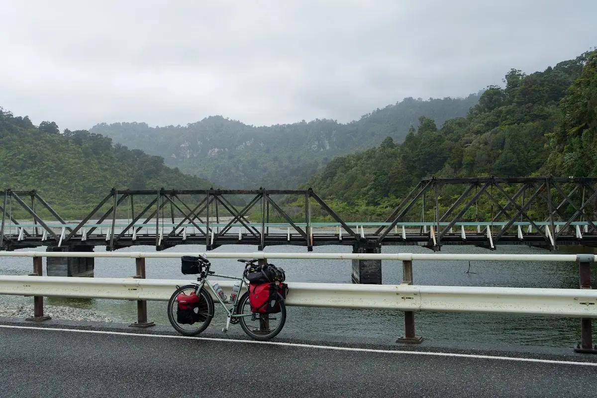
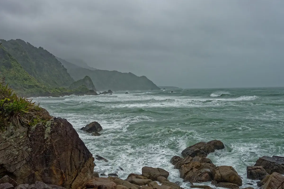
A misty, rain-soaked headland south of Punakaiki — a real fish-and-chips-instead kind of day.
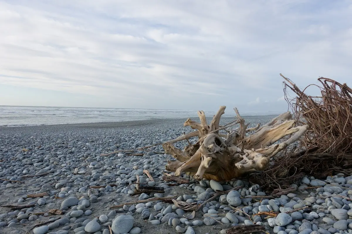
The rain finally over — a whole tree stump washed up on the pebble beach outside Greymouth.
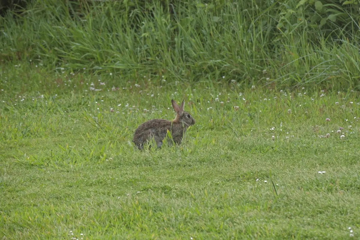
A wild rabbit grazing near the campsite, ears up, keeping watch.
Greymouth
Greymouth, known in Māori as Māwhera, is the largest town on New Zealand's West Coast, on the South Island. It serves as the administrative centre for the Grey District Council, with a district population of 14,800, or 43% of the West Coast's inhabitants; the town itself has an estimated population of 8,640 as of June 2024. Some 65% of the district is Conservation Estate managed by the Department of Conservation, making it a hub for walking and tramping.
A notable weather phenomenon here is the katabatic wind known locally as the Barber, a cold wind and mist that descends the Grey Valley and was historically called the "gorge wind." Its characteristics shifted in the early 20th century, attributed to deforestation along the Coast Road, and local businesses often marketed clothing as protection against its chill.
Greymouth has flooded more than two dozen times since its founding, thanks to its geography; the Great Flood of 1872 and The Biggest in 1988 are both named. After two major floods in 1988, a flood protection wall was completed in 1990 at a cost of NZ$4 million, and the town has avoided significant flooding since, though the river has occasionally neared the top of the wall.
The area has a rich history of Polynesian settlement, with archaeological evidence of Māori presence dating back to 1300–1400 AD. Early settlers, from east Polynesia, used resources like moa, seals, and fish; the Ngāi Tahu tribe arrived in the early 19th century, taking control of the region for its valuable greenstone and building fortified pā and coastal villages.
European exploration began in 1846 with Thomas Brunner and Charles Heaphy, assessing the region for settlement. Brunner discovered coal in the Grey Valley — the town of Brunner and Lake Brunner still bear his name. The Grey River was named after Sir George Grey, Governor of New Zealand, and the land was purchased from the Poutini Ngāi Tahu in 1860 through the Arahura Deed, with reserves set aside for Māori use.
Development accelerated with the arrival of the first steamer, Nelson, in 1864, bringing prospectors and the town's first store, opened by Reuben Waite. Greymouth was officially surveyed in 1865 and became a borough in 1868 — initially part of Canterbury Province, later joining the independent Westland Province after the West Coast gold rush.
The Greymouth Bar, a notorious sandbar at the mouth of the Grey River, has claimed over 44 ships since the 19th century, the first wrecked in 1863 and 1866 the deadliest year for shipping. Some wrecks, like the Lauderdale, Abel Tasman, and Hawea, remain visible on the coastline, with commemorative plaques marking their stories.
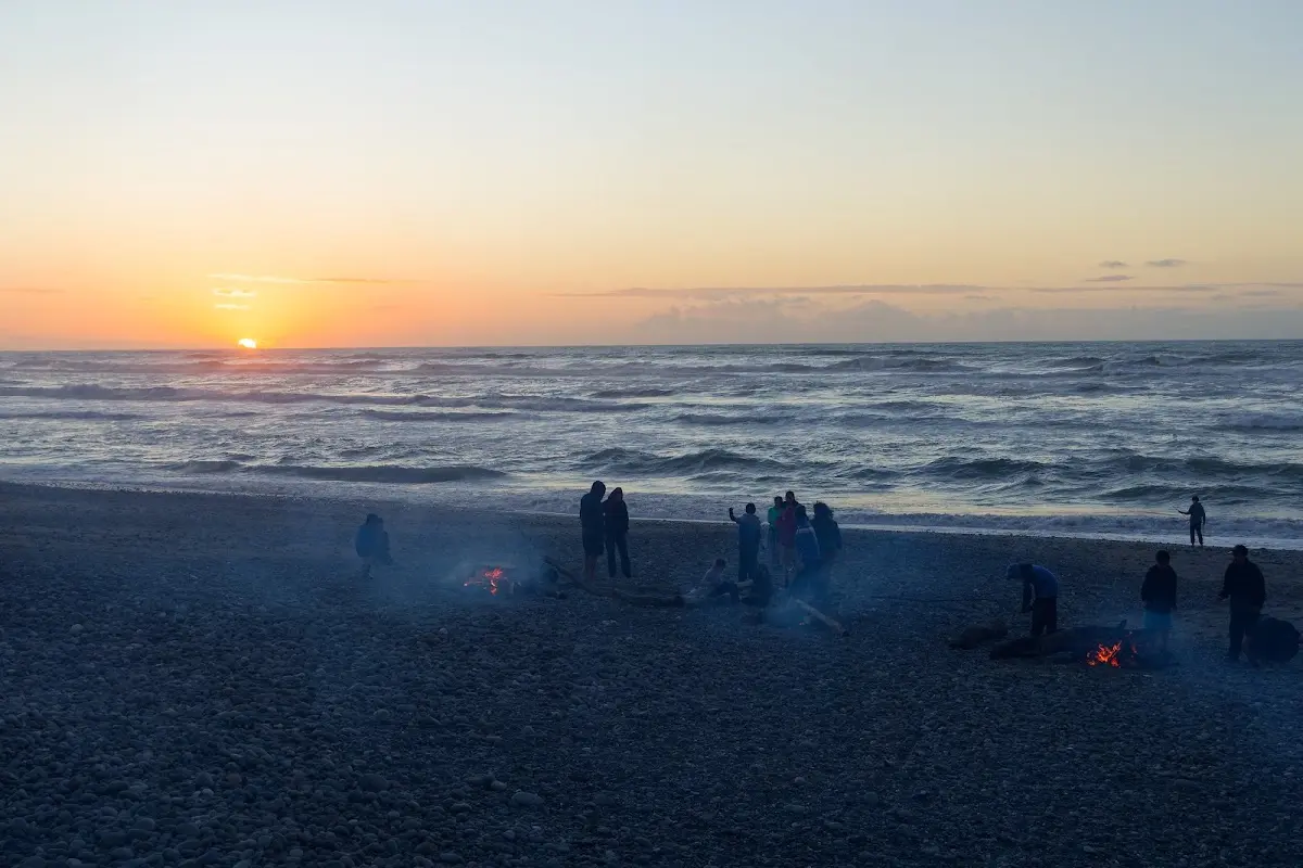
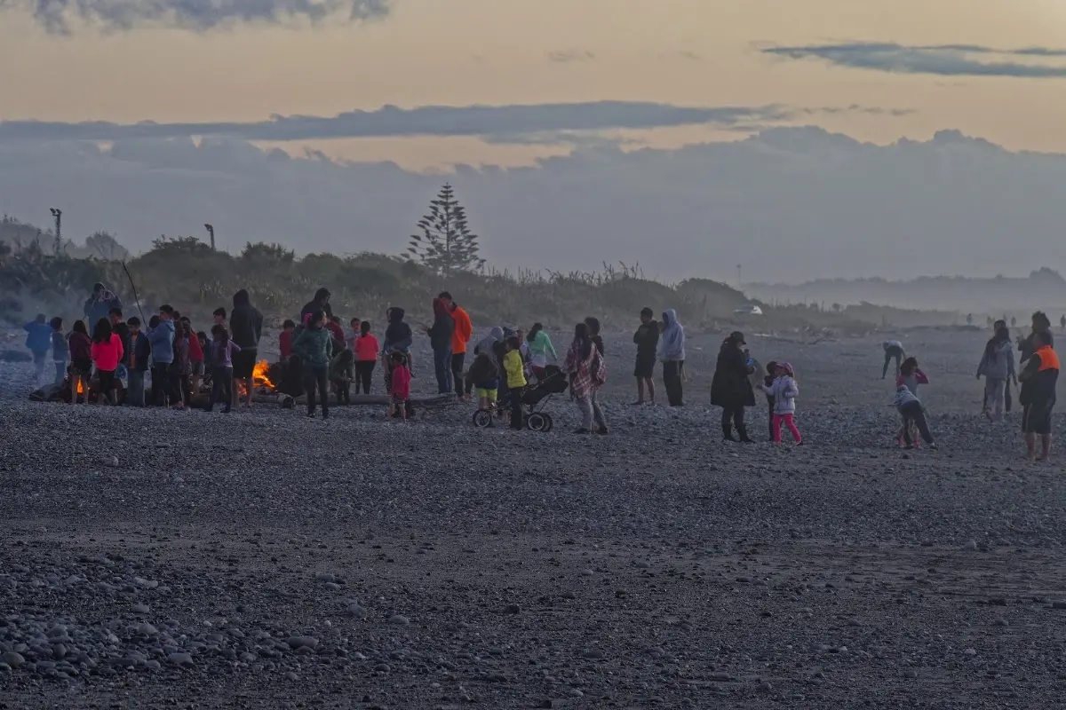
The fantastic sunset the pub owner had promised — beach fires and a crowd gathered to watch it go down.
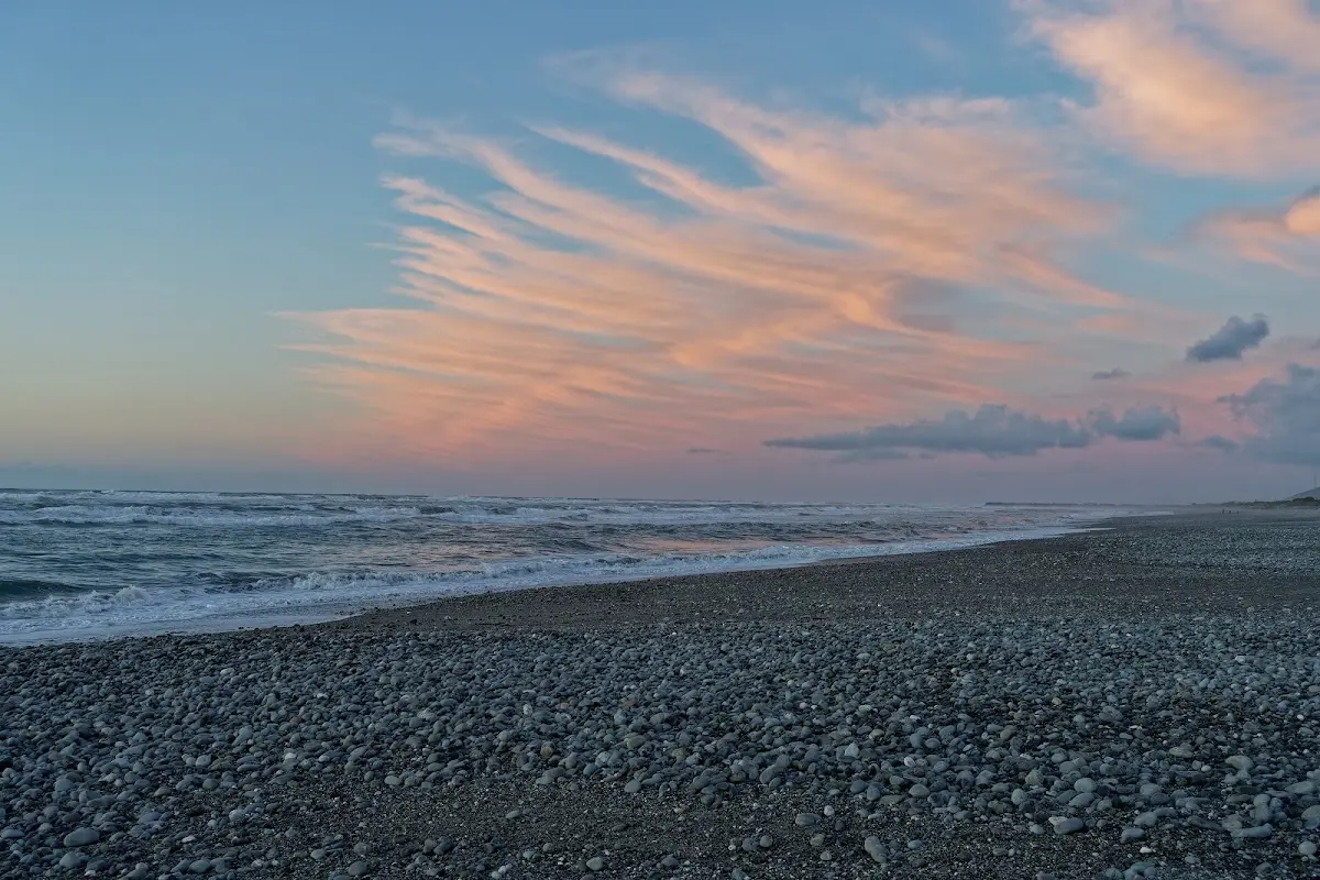
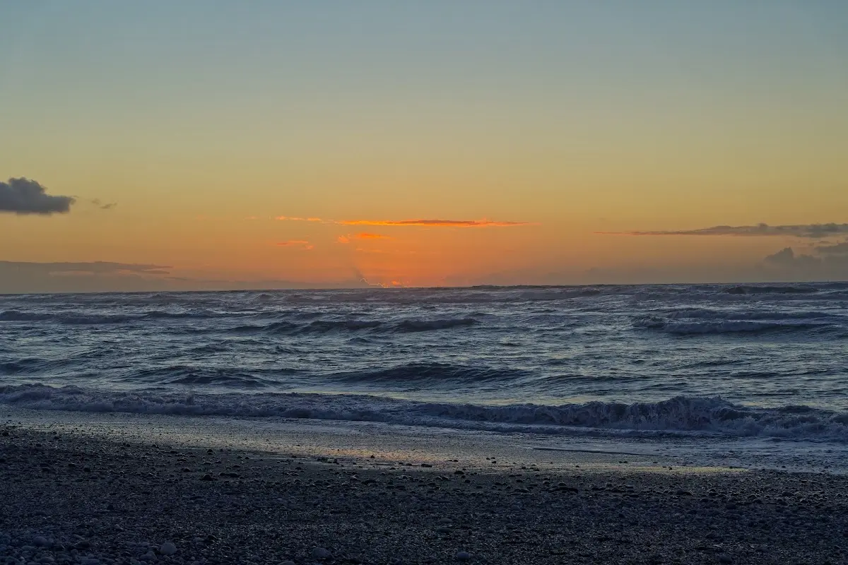
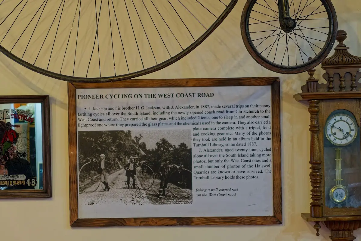
It rained overnight, but by morning the sky had cleared enough for my tent to dry. I had my first coffee with cake in Greymouth and a second coffee in Moana by Lake Brunner. Then the weather turned again, and it began to pour, so I stopped in Ōtira for a large pot of tea before tackling the final 14 km to Arthur's Pass, including a tough last 400 metres of climbing with some steep sections. I also took a picture of the penny-farthing bicycle used by three pioneers who crossed Arthur's Pass in 1887, carrying two tents — one to sleep in and another dark enough to prepare chemicals for their huge camera. Arthur's Pass is still steep, even after the Otira Viaduct was built in 1999. In the evening I was glad to settle into the youth hostel, especially for the good kitchen and the clothes dryer.
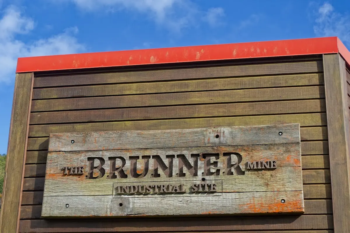
The Brunner Mine site sign — clear morning at last, the tent finally dry.
Brunner Mine
The Brunner Mine, on the West Coast near the Grey River between Stillwater and Taylorville, was a significant coal mining site. Named after surveyor Thomas Brunner, who discovered high-quality coal in the area, the mine attracted interest for its quality and the economic opportunities it offered during tough times.
In March 1896, the Brunner Mine was the site of New Zealand's worst mining disaster, when an explosion — likely caused by firedamp (methane gas) — killed all 65 miners inside.
Today the site holds the remnants of the old coke ovens and a memorial listing the names of the miners who perished; the Stillwater cemetery holds a mass grave for 33 of them. The mine entrance and much of the old industrial activity have been reclaimed by nature.
Visitors can walk a loop with interpretive panels from a car park on State Highway 7 to the mine site and a memorial statue, and see a restored Q class railway coal wagon near the refurbished Brunner Bridge.
A chimney on the south bank, often mistakenly linked to the Brunner Mine, actually belonged to the Tyneside Mine on the river's south side.
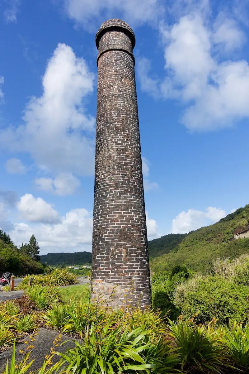
The tall brick chimney by the site — the one the info-box notes actually belongs to the neighbouring Tyneside Mine, not Brunner.
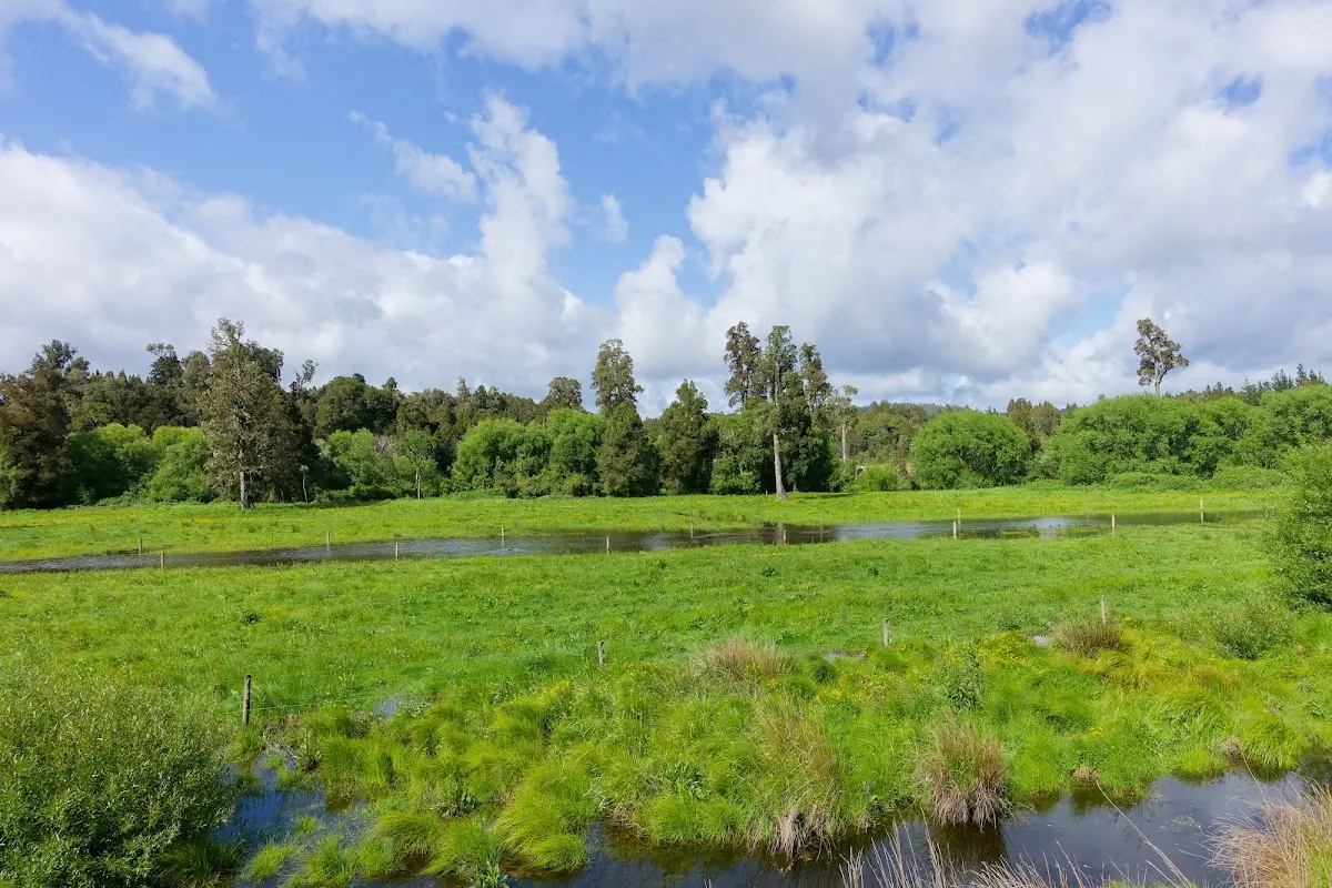
Moana
Moana is a small town on the northern shore of Lake Brunner in New Zealand's West Coast Region. It sits beside the lake's outflow into the Arnold River and has a pedestrian suspension bridge for accessing the lake shore and nearby bush walks. Despite a permanent population under 100, Moana is a popular summer destination with around 300 holiday homes and a camping ground.
Its main attractions are panoramic views and water sports on Lake Brunner. Moana is also a stop on the Midland Line railway, with the TranzAlpine tourist train passing through daily and freight trains, particularly coal, running more frequently still.
The Moana Railway Station traces back to the New Zealand Midland Railway Company's 1886 contract to build a railway between Christchurch and Nelson. The company collapsed in 1895, but the government completed the railway, opening up settlement and timber milling in the area.
The original station building burned down in 1926 and was replaced the same year with a standard type A design by architect George Troup — now a Category 1 Historic Place for its historical and architectural significance.
The Moana Railway Station Historic Area includes the station building, a footbridge, a goods shed, and the former station master's house, now a café — also listed by Heritage New Zealand as a Category 1 Historic Place.

The Moana railway station and its red goods shed, Lake Brunner spreading out behind.
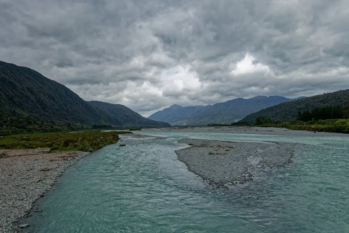
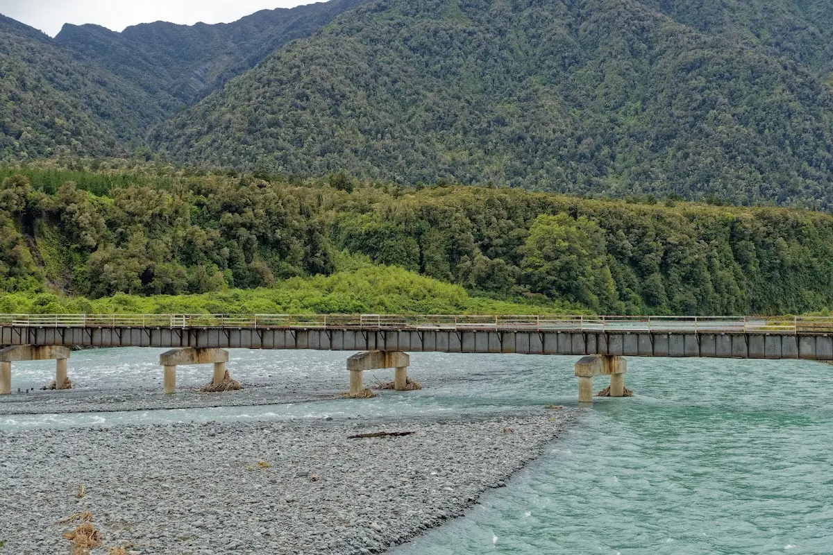
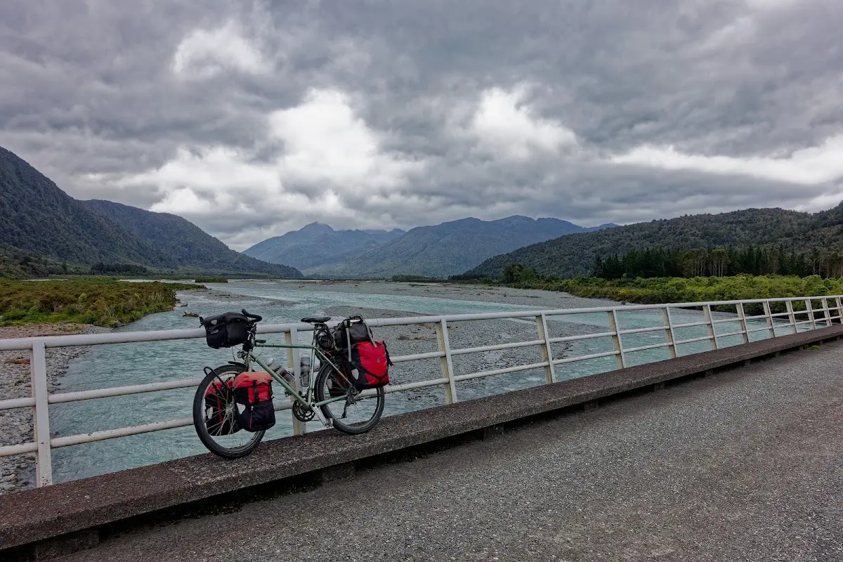
The bike parked on a bridge, mountains closing in on both sides — the last flat stretch before Ōtira and the climb.
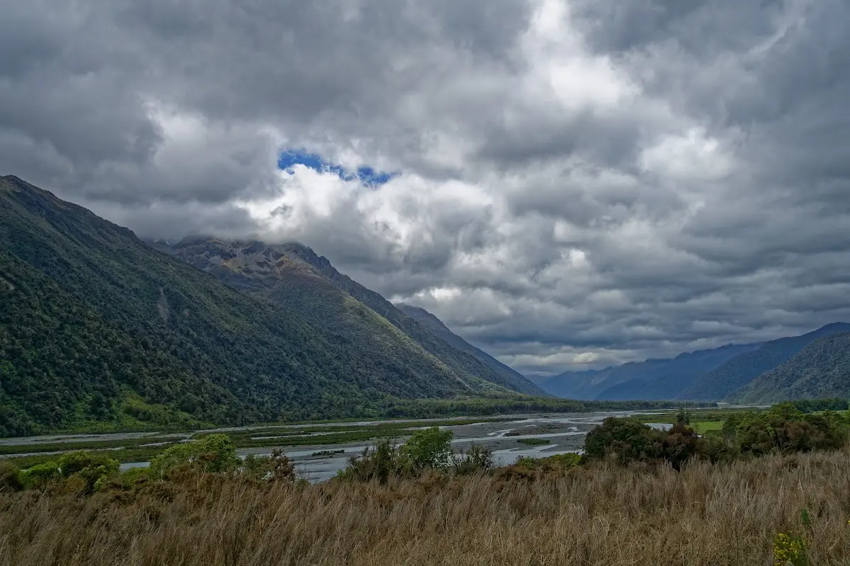
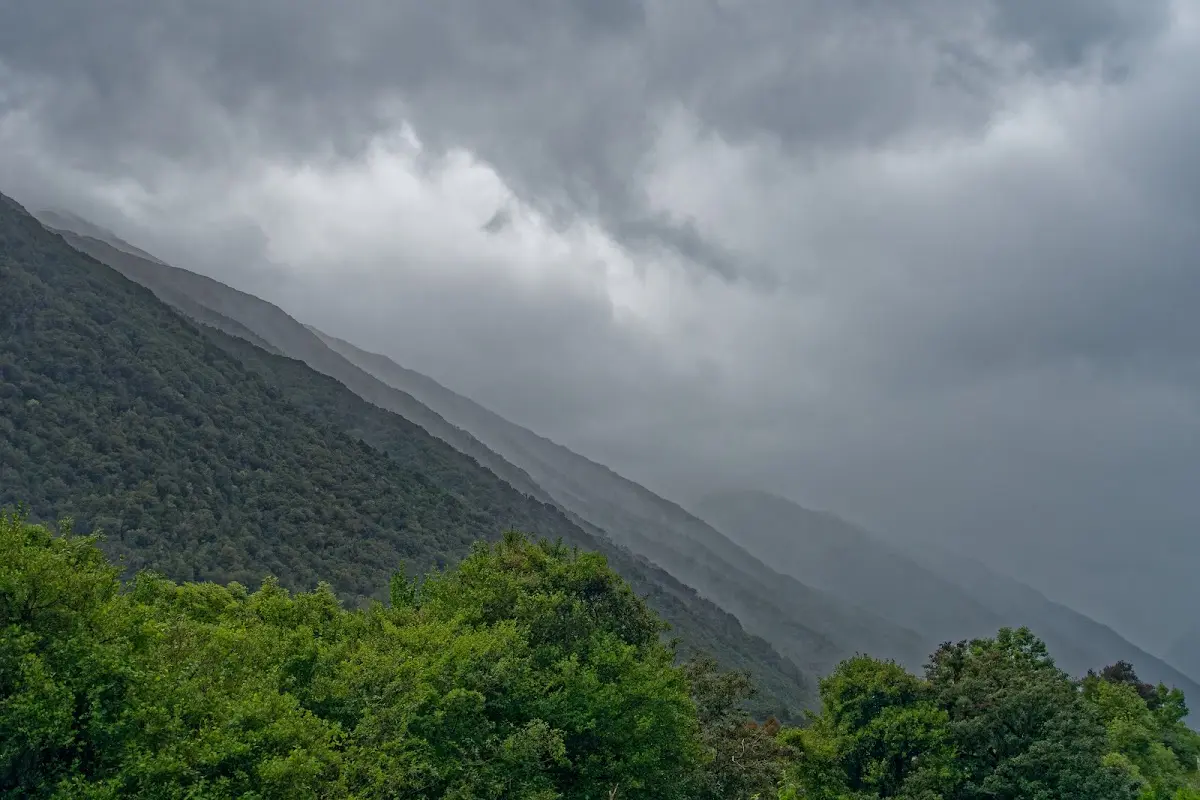
Otira
Otira is a small township 15 kilometres north of Arthur's Pass on the South Island, sitting on the pass's northern approach between the Ōtira and Bealey Rivers in the Southern Alps. The name possibly means "place of the travellers" or "finished sun," reflecting its setting.
Historically a stop on the Cobb and Co stagecoach route from Canterbury to the West Coast, Otira was reached by the Midland Line railway in 1899, and the Otira Tunnel opened in 1923, opening up travel through the Alps. During its construction the town housed about 600 workers and their families; its population peaked at around 350 in the 1950s but had dwindled to 11 by 1988.
The Otira Railway Station, opened in 1900, was part of the Railways Department's Housing Scheme, which built numerous homes for railway staff. The village was sold to private owners in the 1990s and later to Chris and Bill Hennah, who also bought the hotel, community hall, and other properties, before it went back on the market in 2010 and sold again in 2014.
The Otira Viaduct, completed in 1999, is a major engineering feat just south of Otira. Spanning 440 metres, it carries State Highway 73 over unstable terrain, replacing a hazardous stretch of road prone to avalanches and slips — its construction marked by the death of Tony Western, commemorated by a plaque on the structure.
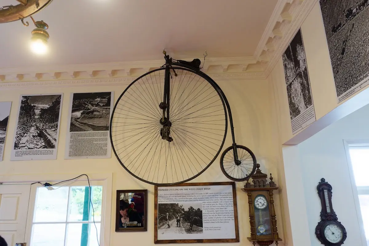
The penny-farthing that crossed Arthur's Pass in 1887 — two tents' worth of gear and a dark-cloth camera in tow.