<?php include '../nav/top.php';?>
<title>Biking and Hiking New Zealand</title>
<meta content="new zealand, bicycle tour" name="keywords"/>
<meta content="Biking and Hiking New Zealand" name="description"/>
<?php include '../nav/head3rd.php';?>

<!-- Sidebar -->

<?php include 'sidebarnz.php';?>

<!-- Overlay effect when opening sidebar on small screens -->

<div class="w3-overlay w3-hide-large" onclick="w3_close()" style="cursor:pointer" title="close side menu" id="myOverlay"></div>

<!-- Main content: shift it to the right by 300 pixels when the sidebar is visible -->
<div class="w3-main main-content" style="margin-left:300px">
  <div class="w3-row w3-padding-64 w3-container">


<?php
$trip_meta = [
    "year"     => "2015/2016",
    "distance" => "10050 km",
    "tags"     => ["Oceania","New Zealand", "Mountains"],
    "url"      => "../2016/nz02_tutukaka.php"
];
include '../includes/trip_summary.php';
?>

<div class="w3-large trip-content">
<h2 class="w3-text-blue">Biking and Hiking New Zealand - Whangārei, Waitangi, Gum-diggers</h2>

<div class="w3-row w3-padding-32">

<b>Friday, October 23 2015</b>
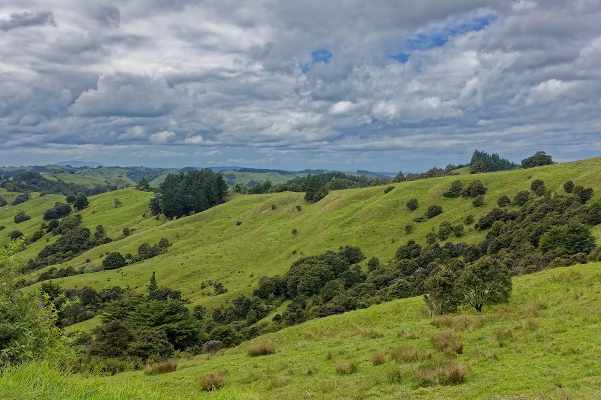
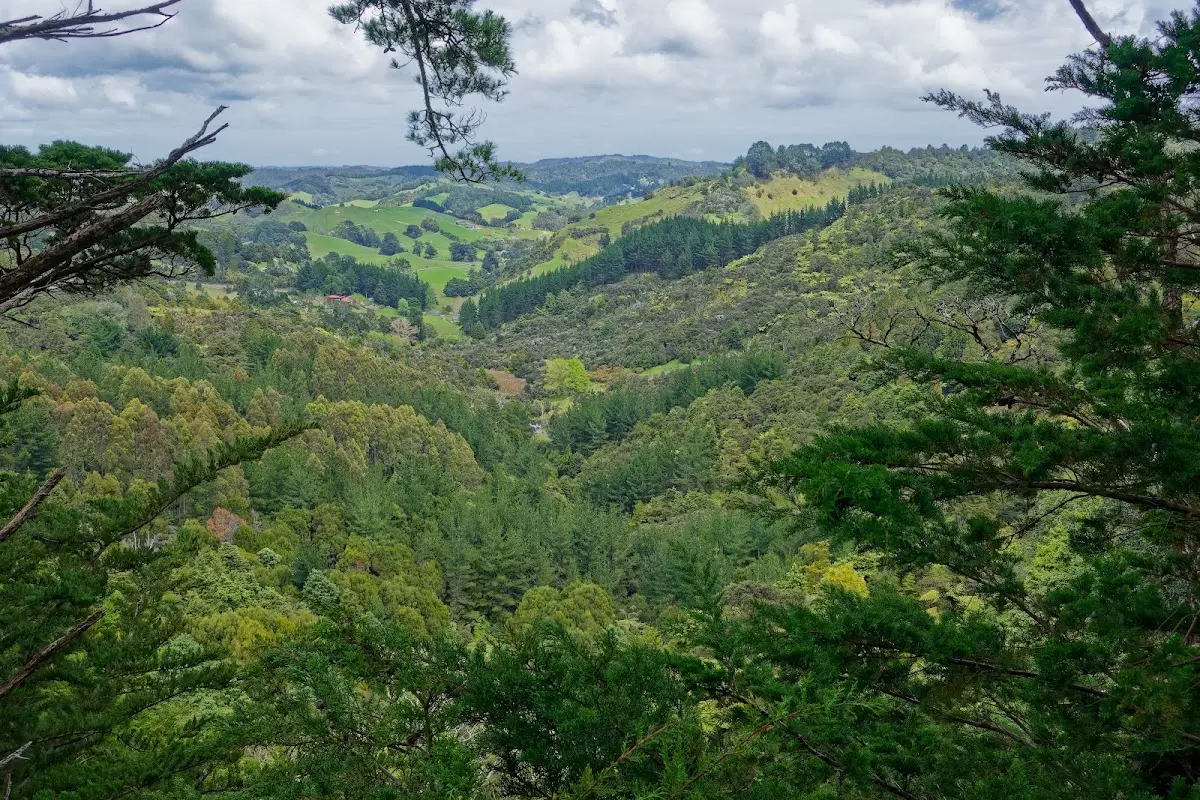
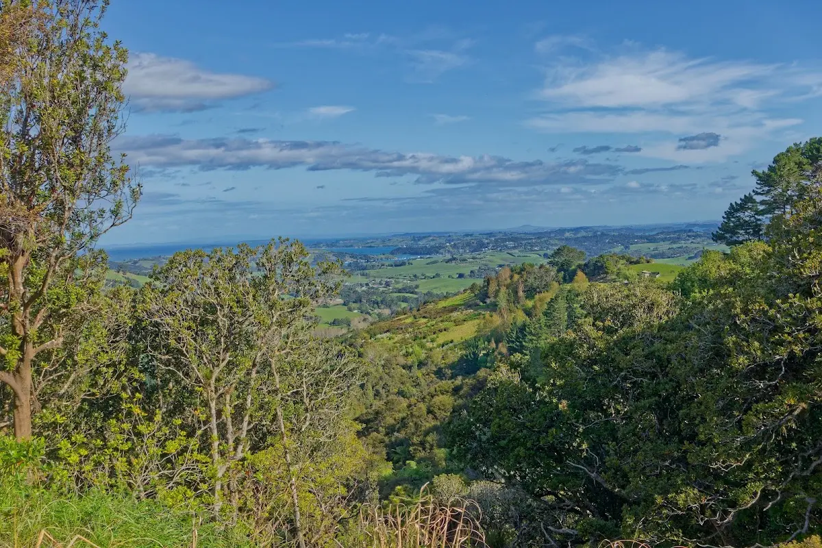
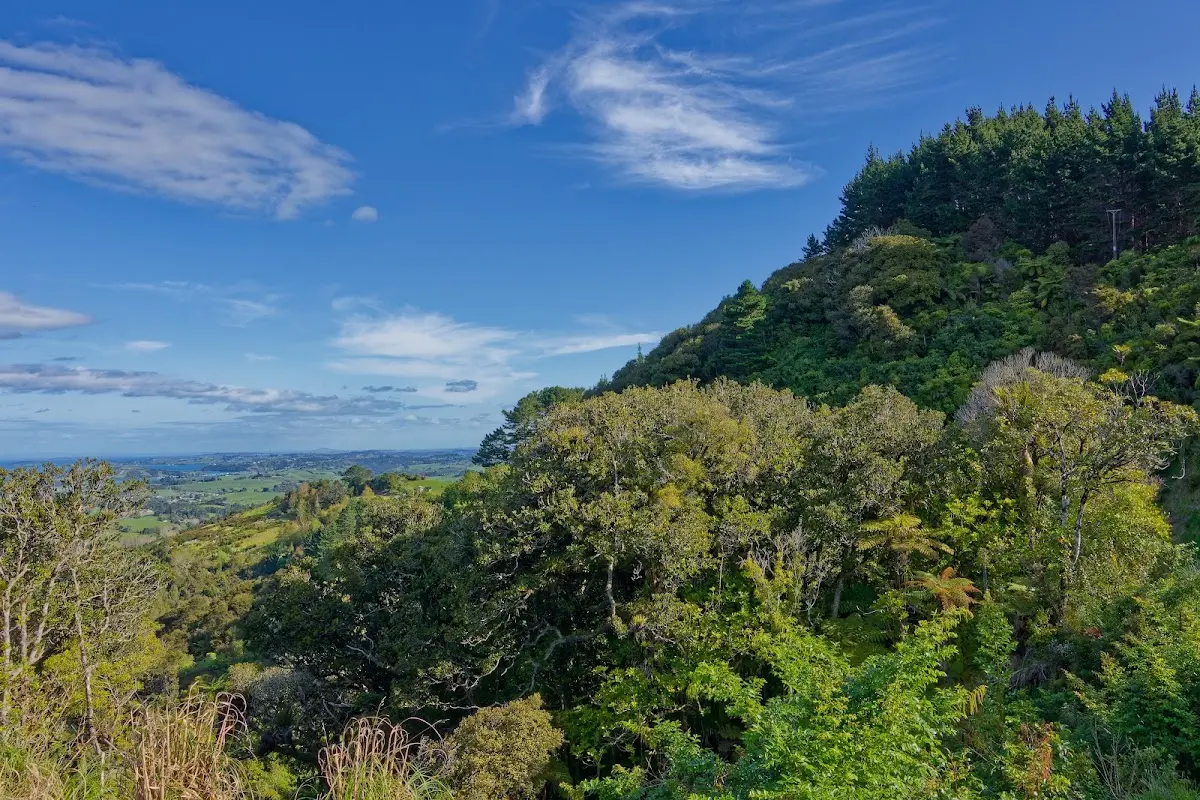
<p>Auckland is huge. It took me one and a half hours just to reach the ferry in the harbour, and about the same again to get from Devonport out the other side of the city. Pedallers' Paradise was right about the hills and the traffic.
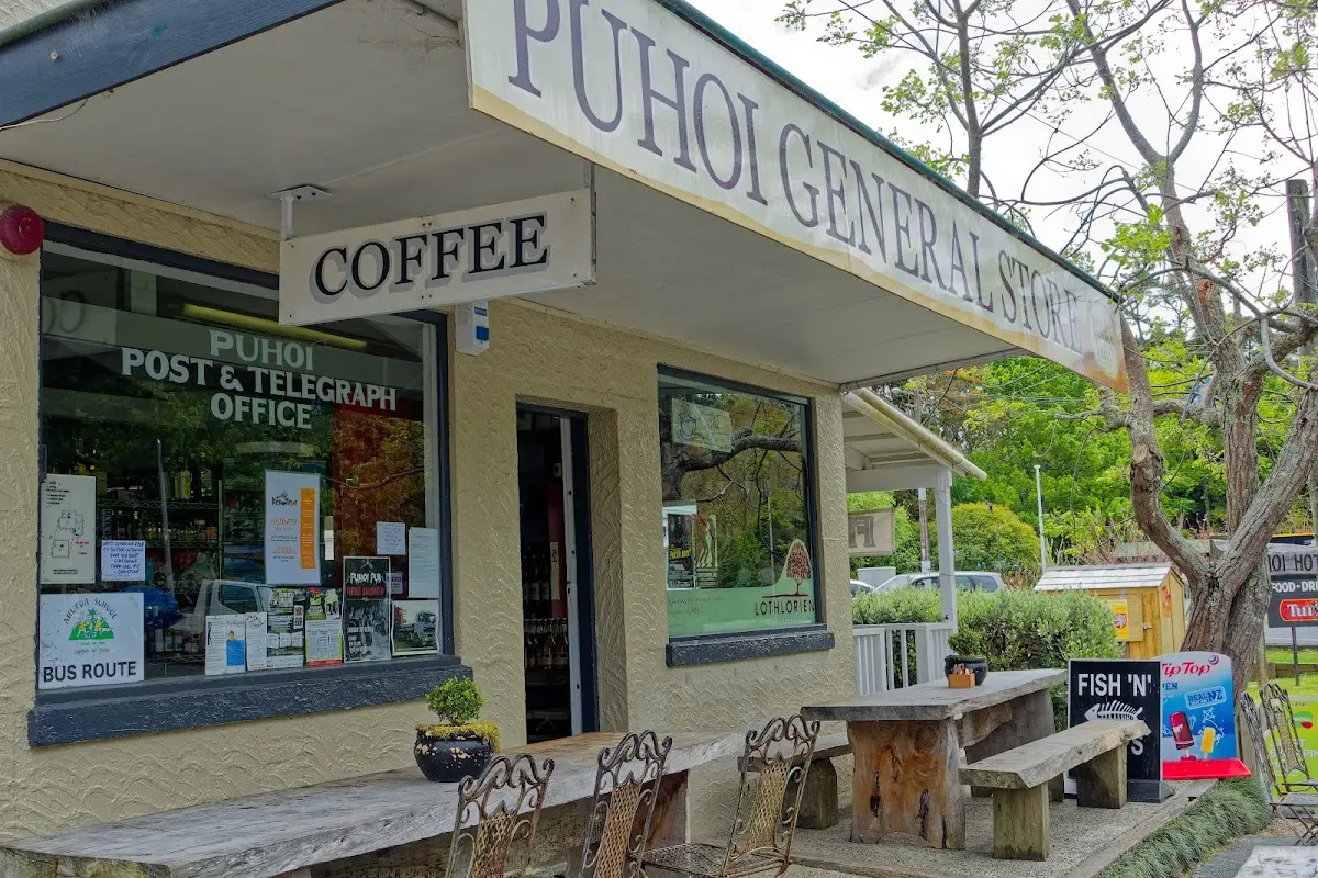
Today: 165 km in 9 hours 13 minutes, average speed 16.8 km/h, top speed 65.9 km/h. Mosquitoes in the evening. Tea and some chips for lunch in Puhoi, with a nice view, though at times it was a bit chilly.</p>

</div>

<p><div class="image-container"><img class="modal-image" data-large-src="img_nz02_tutukaka/20151023_130853_large.webp" src="img_nz02_tutukaka/20151023_130853.webp"/></div></p>

<p><div class="image-container"><img class="modal-image" data-large-src="img_nz02_tutukaka/20151023_131303_large.webp" src="img_nz02_tutukaka/20151023_131303.webp"/></div></p>

<p><div class="image-container"><img class="modal-image" data-large-src="img_nz02_tutukaka/20151023_131315_large.webp" src="img_nz02_tutukaka/20151023_131315.webp"/></div>
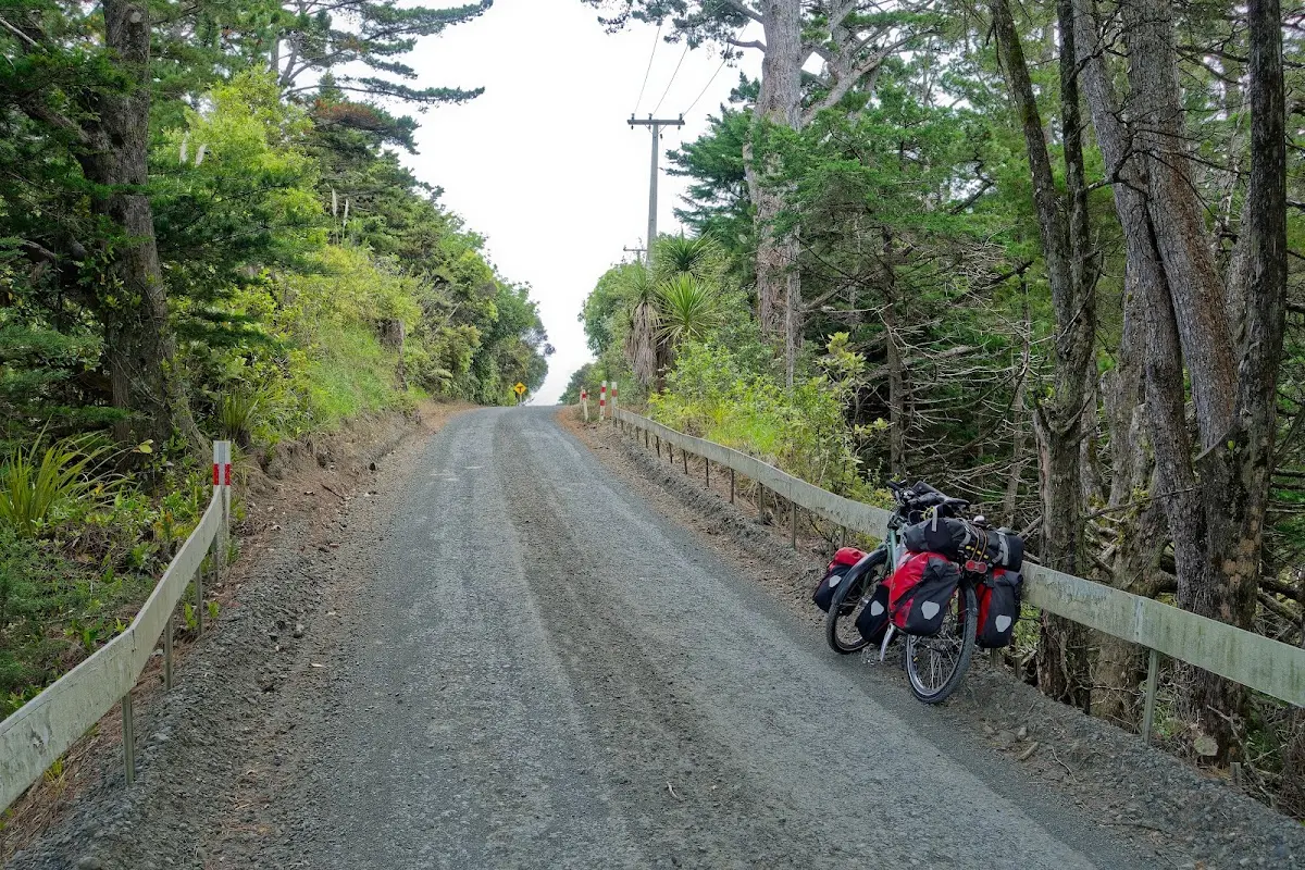
<p class="img-caption">The loaded bike, finally rolling — gravel back roads north of Auckland, avoiding the main highway.</p></p>

<div class="w3-row w3-padding-32">
<div class="w3-card-1 w3-border w3-round">
<header class="w3-container w3-theme-green w3-round">
<h4>Puhoi</h4>
</header>
<div class="w3-container">
<p>
Puhoi, 50 km north of Auckland, means "slow water" in Māori — a nod to the unhurried Puhoi River running past it. European settlement began in 1863 with German-speaking migrants from Bohemia, led by Captain Martin Krippner. The mostly Catholic settlers built a church dedicated to Saints Peter and Paul that still stands, and the village keeps its 19th-century charm today in buildings like the Puhoi Hotel and the old Catholic school, now the town library.</p>
</div>
</div>
</div>

<p><div class="image-container"><img class="modal-image" data-large-src="img_nz02_tutukaka/20151023_135632_large.webp" src="img_nz02_tutukaka/20151023_135632.webp"/></div>
<p class="img-caption">Puhoi Town Library — a village of about 700 people with its own library and its own pub.</p></p>

<p><div class="image-container"><img class="modal-image" data-large-src="img_nz02_tutukaka/20151023_135741_large.webp" src="img_nz02_tutukaka/20151023_135741.webp"/></div>
<p class="img-caption">The Puhoi General Store — coffee, fish 'n' chips, and a bench out front, which was exactly what I needed at that point.</p></p>

<p><div class="image-container"><img class="modal-image" data-large-src="img_nz02_tutukaka/20151023_170553_large.webp" src="img_nz02_tutukaka/20151023_170553.webp"/></div></p>

<p><div class="image-container"><img class="modal-image" data-large-src="img_nz02_tutukaka/20151023_170603_large.webp" src="img_nz02_tutukaka/20151023_170603.webp"/></div></p>

<p><div class="image-container"><img class="modal-image" data-large-src="img_nz02_tutukaka/20151023_190457_large.webp" src="img_nz02_tutukaka/20151023_190457.webp"/></div>
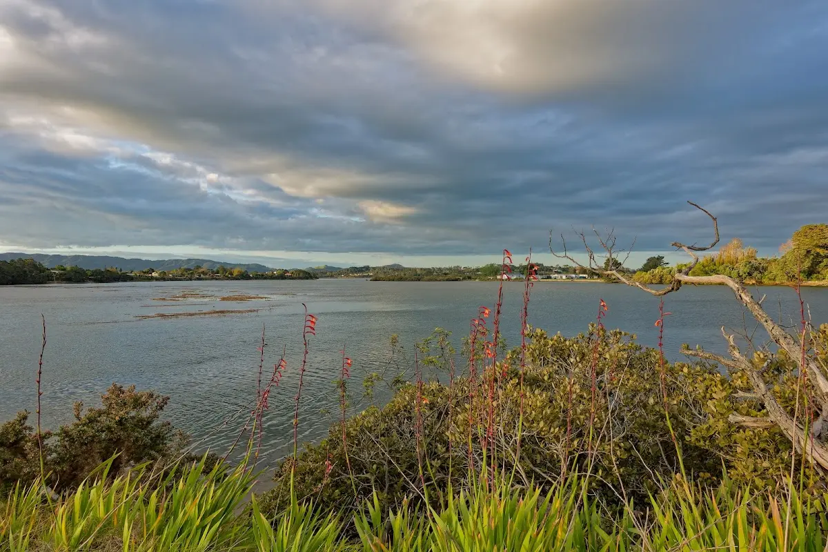
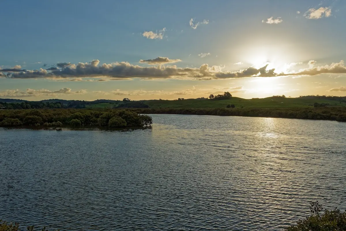
<p class="img-caption">Evening light over an estuary further north — the kind of view that makes up for a day of hills.</p></p>

<p><div class="image-container"><img class="modal-image" data-large-src="img_nz02_tutukaka/20151023_190602_large.webp" src="img_nz02_tutukaka/20151023_190602.webp"/></div></p>

<div class="w3-row w3-padding-32">
<div class="w3-card-1 w3-border w3-round">
<header class="w3-container w3-theme-green w3-round">
<h4>Warkworth</h4>
</header>
<div class="w3-container">
<p>Warkworth, known to Māori as Puhinui, sits 64 km north of Auckland on the Mahurangi River, a spot Māori tribes used for centuries as a crossroads for overland and waka traffic. European settlement began in 1843 with a timber mill, and the town was named in 1853 after its English namesake, whose river reminded the settlers of home. It grew into a timber and shipbuilding hub, later added a cement works, and even hosted over 40 American army camps during World War II. Its streets, named after villages in Northumberland, still carry that English inheritance — as does the Warkworth Radio Astronomical Observatory, established in 1971.</p>
</div>
</div>
</div>


<div class="w3-row w3-padding-32">

<b>Saturday, October 24 2015</b>
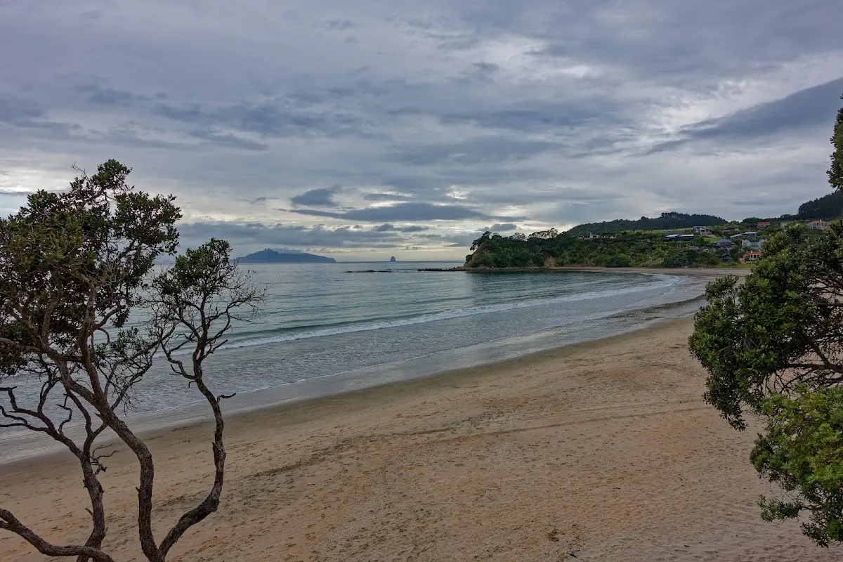
<p>Cloudy, with lots of hills and beautiful views of beaches along the way. Coffee and a muffin in the morning, then 40 km on toward Whangārei. After that the rain started. I stopped for another coffee in the hope of waiting it out, but the rain stayed with me, so I continued to a campground in Tutukaka.
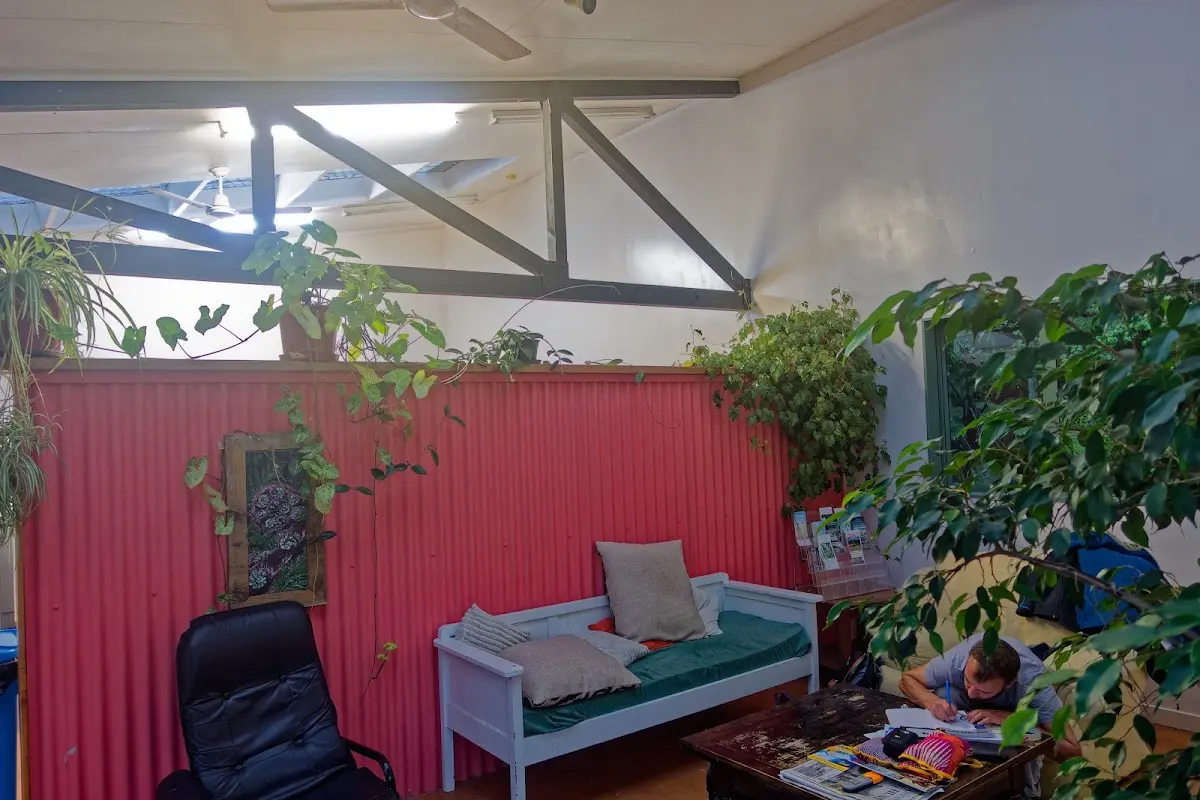
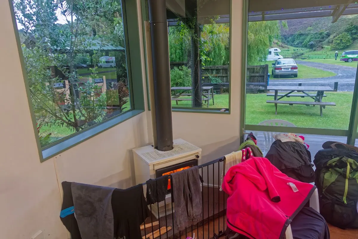
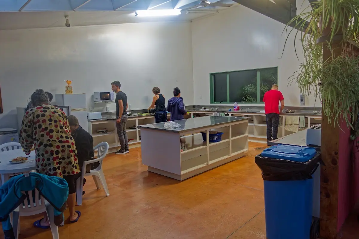
There was a nice fireplace in the kitchen and lots of tourists for company. Tea, what else? Another 100 km today, only 5 hours 12 minutes on the bike, with an average of 18.85 km/h.</p>
</div>

<p><div class="image-container"><img class="modal-image" data-large-src="img_nz02_tutukaka/20151024_091411_large.webp" src="img_nz02_tutukaka/20151024_091411.webp"/></div></p>

<div class="w3-row w3-padding-32">
<div class="w3-card-1 w3-border w3-round">
<header class="w3-container w3-theme-green w3-round">
<h4>Whangārei</h4>
</header>
<div class="w3-container">
<p>Whangārei is the northernmost city in New Zealand and the largest settlement in Northland. Its harbour was long a landing point for migratory waka and a trading hub connecting Māori across the region, and European settlement in the mid-19th century grew around the kauri gum trade and, later, coal and limestone. It became a city in 1964 and now serves as Northland's main service centre. Its most striking recent addition is the <i class="fas fa-external-link-alt"></i> <a href="https://en.wikipedia.org/wiki/Hundertwasser_Art_Centre">Hundertwasser Art Centre</a>, a vividly unconventional building inspired by the Austrian artist <i class="fas fa-external-link-alt"></i> <a href="https://en.wikipedia.org/wiki/Friedensreich_Hundertwasser">Friedensreich Hundertwasser</a>, who spent his later years living nearby.</p>
</div>
</div>
</div>

<p><div class="image-container"><img class="modal-image" data-large-src="img_nz02_tutukaka/20151024_192407_large.webp" src="img_nz02_tutukaka/20151024_192407.webp"/></div></p>

<p><div class="image-container"><img class="modal-image" data-large-src="img_nz02_tutukaka/20151024_192429_large.webp" src="img_nz02_tutukaka/20151024_192429.webp"/></div>
<p class="img-caption">The promised fireplace, doing its job — wet gear drying while the rain kept going outside.</p></p>

<p><div class="image-container"><img class="modal-image" data-large-src="img_nz02_tutukaka/20151024_192445_large.webp" src="img_nz02_tutukaka/20151024_192445.webp"/></div>
<p class="img-caption">The campsite kitchen, full of the "lots of tourists" mentioned above — a busy communal evening after a wet day.</p></p>


<div class="w3-row w3-padding-32">

<b>Sunday, October 25 2015</b>
<p>From Tutukaka I followed the coast, with some quite steep stretches in between, much of it unpaved. With all the luggage, it was not pure fun. I stopped at the Waitangi Treaty Grounds for a few photos and then continued on to Kerikeri. There was also a 20 km stretch through the forest.
I still hadn't done much walking yet and already felt pretty exhausted from the cycling alone. Today: 148.7 km in 9 hours, average speed 14.95 km/h. Best weather so far — shorts and sunscreen were necessary. Kerikeri was not especially cosy: a huge Chinese group and otherwise mostly young Germans. I bought some lamb and tried to fry it on my stove, but it burned. I probably won't buy meat again unless there is a barbecue at the campsite. It took five minutes to clean the pot.</p>
</div>

<p><div class="image-container"><img class="modal-image" data-large-src="img_nz02_tutukaka/20151025_071423_large.webp" src="img_nz02_tutukaka/20151025_071423.webp"/></div></p>

<p><div class="image-container"><img class="modal-image" data-large-src="img_nz02_tutukaka/20151025_073935_large.webp" src="img_nz02_tutukaka/20151025_073935.webp"/></div></p>

<p><div class="image-container"><img class="modal-image" data-large-src="img_nz02_tutukaka/20151025_075111_large.webp" src="img_nz02_tutukaka/20151025_075111.webp"/></div></p>

<p><div class="image-container"><img class="modal-image" data-large-src="img_nz02_tutukaka/20151025_075412_large.webp" src="img_nz02_tutukaka/20151025_075412.webp"/></div></p>

<p><div class="image-container"><img class="modal-image" data-large-src="img_nz02_tutukaka/20151025_075423_large.webp" src="img_nz02_tutukaka/20151025_075423.webp"/></div></p>

<p><div class="image-container"><img class="modal-image" data-large-src="img_nz02_tutukaka/20151025_101607_large.webp" src="img_nz02_tutukaka/20151025_101607.webp"/></div></p>

<p><div class="image-container"><img class="modal-image" data-large-src="img_nz02_tutukaka/20151025_102153_large.webp" src="img_nz02_tutukaka/20151025_102153.webp"/></div></p>

<p><div class="image-container"><img class="modal-image" data-large-src="img_nz02_tutukaka/20151025_102226_large.webp" src="img_nz02_tutukaka/20151025_102226.webp"/></div></p>

<p><div class="image-container"><img class="modal-image" data-large-src="img_nz02_tutukaka/20151025_104211_large.webp" src="img_nz02_tutukaka/20151025_104211.webp"/></div></p>

<p><div class="image-container"><img class="modal-image" data-large-src="img_nz02_tutukaka/20151025_121709_large.webp" src="img_nz02_tutukaka/20151025_121709.webp"/></div>
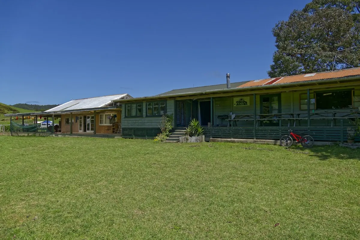
<p class="img-caption">"The Farm" — one of the backpacker stops along the coast road, more working farm than hostel.</p></p>

<p><div class="image-container"><img class="modal-image" data-large-src="img_nz02_tutukaka/20151025_130000_large.webp" src="img_nz02_tutukaka/20151025_130000.webp"/></div></p>

<div class="w3-row w3-padding-32">
<div class="w3-card-1 w3-border w3-round">
<header class="w3-container w3-theme-green w3-round">
<h4>Paihia</h4>
</header>
<div class="w3-container">
<p>Paihia, the main tourist town in the Bay of Islands, began in 1823 as a mission station founded by Henry Williams, and went on to host New Zealand's first church, its first printing press, and — famously watched by Charles Darwin in 1835 — the country's first recorded cricket match. The mission closed in 1850 and the town declined for decades before reviving as a holiday destination in the 1930s. Today it sits right next to Waitangi, which gives it more historical weight than its beaches alone would suggest.</p>
</div>
</div>
</div>

<p><div class="image-container"><img class="modal-image" data-large-src="img_nz02_tutukaka/20151025_150527_large.webp" src="img_nz02_tutukaka/20151025_150527.webp"/></div>
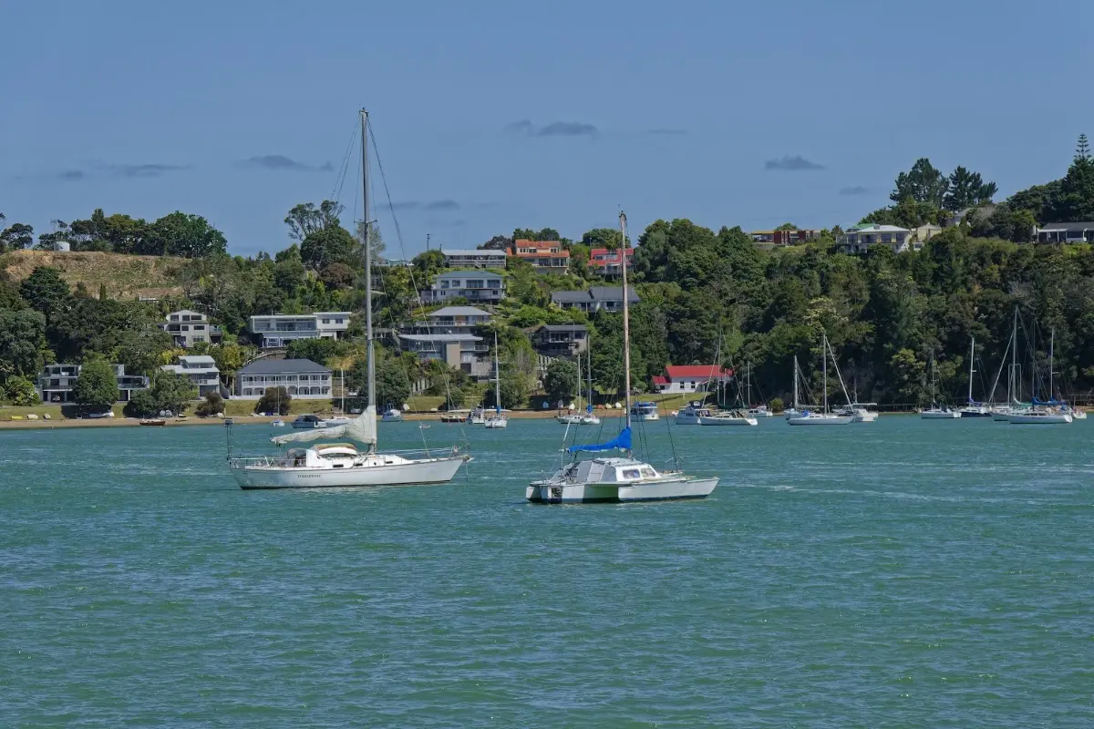
<p class="img-caption">Yachts moored off one of the Bay of Islands settlements — the water suddenly much calmer than the coast road behind me.</p></p>

<p><div class="image-container"><img class="modal-image" data-large-src="img_nz02_tutukaka/20151025_150852_large.webp" src="img_nz02_tutukaka/20151025_150852.webp"/></div>
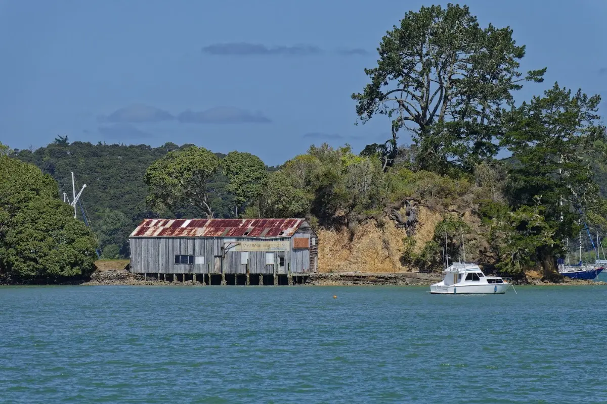
<p class="img-caption">An old boat shed on the water, rust and all — the Bay of Islands has plenty of these alongside the tourist marinas.</p></p>

<div class="w3-row w3-padding-32">
<div class="w3-card-1 w3-border w3-round">
<header class="w3-container w3-theme-green w3-round">
<h4>Waitangi</h4>
</header>
<div class="w3-container">
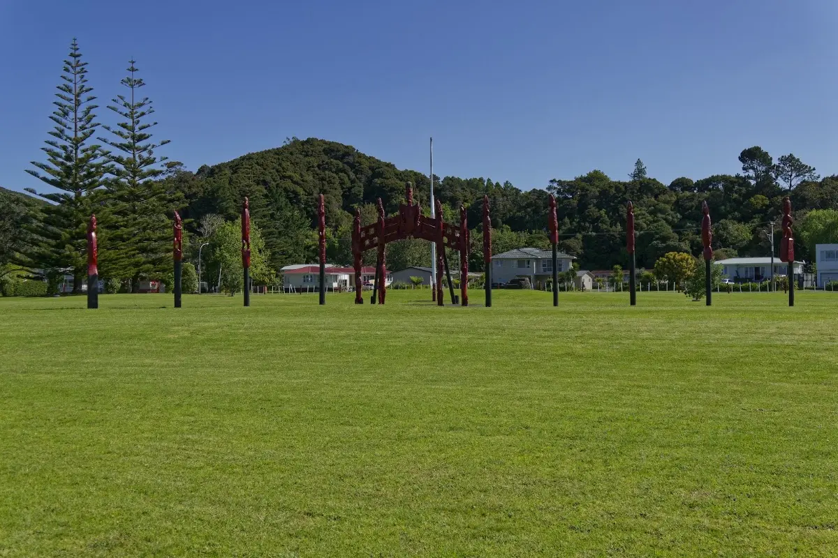
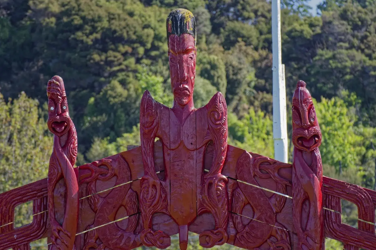
<p>Waitangi is where the Treaty of Waitangi was first signed on 6 February 1840, on the grounds of British Resident James Busby's house, marking the start of British governance in New Zealand. Many Māori chiefs initially opposed it, though influential figures like Tāmati Wāka Nene eventually supported it; not every chief signed. The grounds have been open to the public since 1934 and today include the restored Treaty House, the carved meeting house Te Whare Rūnanga, and two museums covering the treaty's history and its ongoing significance. The name itself means "noisy waters," likely a reference to the nearby Haruru Falls.</p>
</div>
</div>
</div>

<p><div class="image-container"><img class="modal-image" data-large-src="img_nz02_tutukaka/20151025_162343_large.webp" src="img_nz02_tutukaka/20151025_162343.webp"/></div>
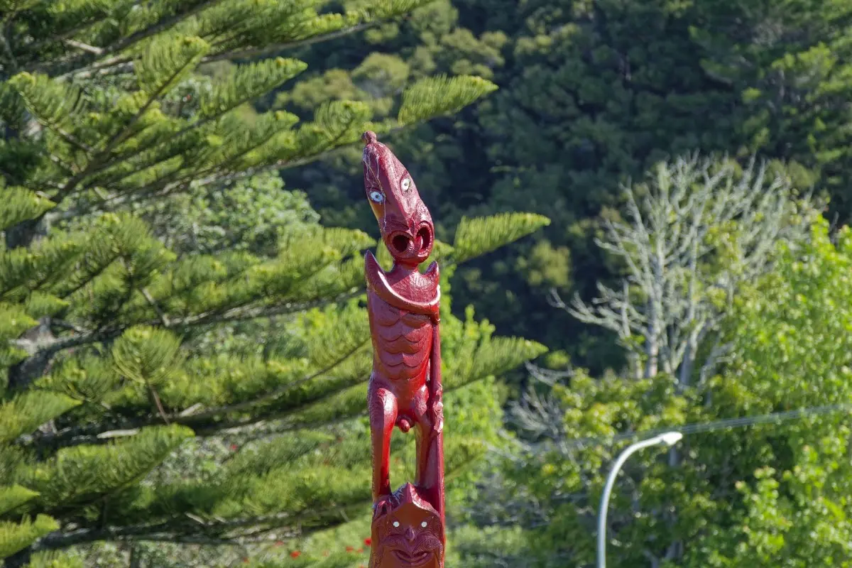
<p class="img-caption">The carved gateway on the Waitangi Treaty Grounds, flanked by a double row of pou.</p></p>

<p><div class="image-container"><img class="modal-image" data-large-src="img_nz02_tutukaka/20151025_162350_large.webp" src="img_nz02_tutukaka/20151025_162350.webp"/></div>
<p class="img-caption">Detail of the carving on that gateway — this kind of craftsmanship is worth the stop on its own.</p></p>

<p><div class="image-container"><img class="modal-image" data-large-src="img_nz02_tutukaka/20151025_162415_large.webp" src="img_nz02_tutukaka/20151025_162415.webp"/></div></p>

<p><div class="image-container"><img class="modal-image" data-large-src="img_nz02_tutukaka/20151025_163339_large.webp" src="img_nz02_tutukaka/20151025_163339.webp"/></div>
<p class="img-caption">Looking out from the Treaty Grounds across the bay — Russell visible on the far shore.</p></p>

<p><div class="image-container"><img class="modal-image" data-large-src="img_nz02_tutukaka/20151025_163409_large.webp" src="img_nz02_tutukaka/20151025_163409.webp"/></div></p>

<div class="w3-row w3-padding-32">
<div class="w3-card-1 w3-border w3-round">
<header class="w3-container w3-theme-green w3-round">
<h4>Kerikeri</h4>
</header>
<div class="w3-container">
<p>Kerikeri calls itself the "Cradle of the Nation," home to New Zealand's first permanent mission station and some of the country's oldest surviving buildings. It was also the first place in New Zealand where grapevines and citrus were planted, and its subtropical climate still supports a strong horticulture industry today. Its local slogan — "It's So Nice They Named It Twice" — undersells the history a bit, but does capture the general mood.</p>
</div>
</div>
</div>


<div class="w3-row w3-padding-32">

<b>Monday, October 26 2015</b>
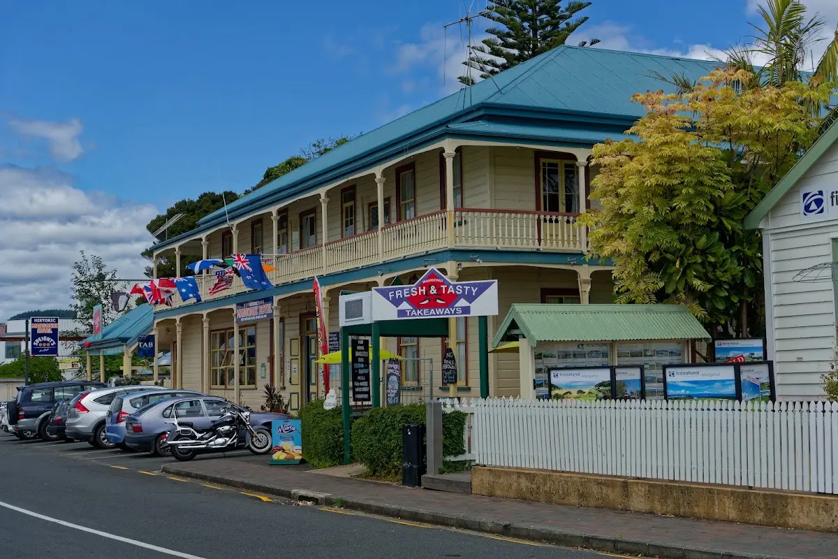
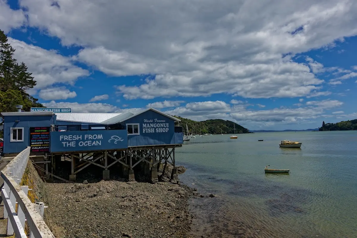
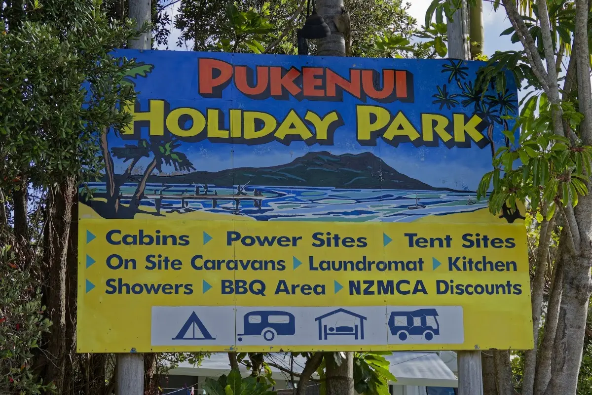
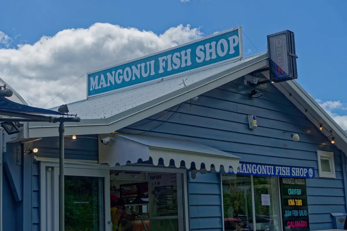
<p>Mangōnui: famous fish and chips right by the harbour. The hills were a bit gentler today, so the kilometres came more easily. I reached Pukenui at 4 p.m., and tomorrow it should be about 70 km to Cape Reinga, depending on the wind.
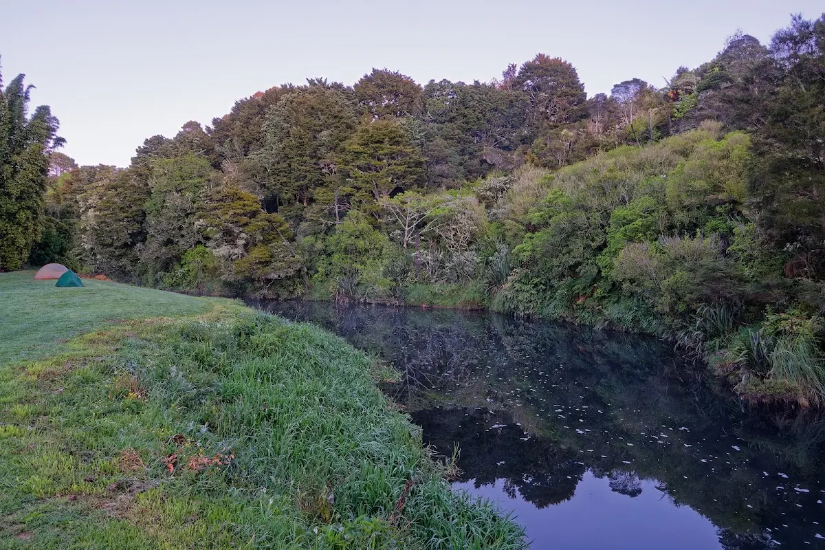
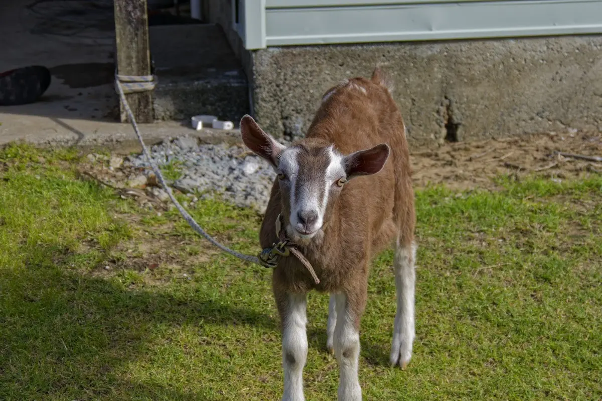
It was a holiday, and the wind was strong today. The coastline was less spectacular than before, with more farmland, and traffic got lighter farther north. The campsite was a small and pleasant farm with sheep and chickens, only four tents in all. Last night's campsite had been bigger and beside a river. Today: 130.8 km in 7 hours, average speed 19 km/h.
I should look up more at home about the gum diggers of Northland and the immigrants from Dalmatia. There is a lot of fishing up here — and a lot of fish and chips.</p>
</div>

<p><div class="image-container"><img class="modal-image" data-large-src="img_nz02_tutukaka/20151026_063433_large.webp" src="img_nz02_tutukaka/20151026_063433.webp"/></div>
<p class="img-caption">Misty morning at last night's campsite, tent still up by the river.</p></p>

<p><div class="image-container"><img class="modal-image" data-large-src="img_nz02_tutukaka/20151026_063538_large.webp" src="img_nz02_tutukaka/20151026_063538.webp"/></div></p>

<div class="w3-row w3-padding-32">
<div class="w3-card-1 w3-border w3-round">
<header class="w3-container w3-theme-green w3-round">
<h4>Mangōnui</h4>
</header>
<div class="w3-container">
<p>
Mangōnui grew up in the early 19th century as a service port for whalers, and later expanded into a trading hub for kauri sawmills and farming, briefly the main centre for the entire Far North. It faded once Kaitaia took over that role in the early 20th century, but stayed alive as a fishing and farming town — and, these days, mostly as the place with the fish and chip shop everyone stops at.
</p>
</div>
</div>
</div>

<p><div class="image-container"><img class="modal-image" data-large-src="img_nz02_tutukaka/20151026_114814_large.webp" src="img_nz02_tutukaka/20151026_114814.webp"/></div></p>

<p><div class="image-container"><img class="modal-image" data-large-src="img_nz02_tutukaka/20151026_115650_large.webp" src="img_nz02_tutukaka/20151026_115650.webp"/></div></p>

<p><div class="image-container"><img class="modal-image" data-large-src="img_nz02_tutukaka/20151026_121447_large.webp" src="img_nz02_tutukaka/20151026_121447.webp"/></div>
<p class="img-caption">The Mangōnui Fish Shop, built out over the water on its own pier — "world famous," according to the sign, and the fish and chips backed it up.</p></p>

<p><div class="image-container"><img class="modal-image" data-large-src="img_nz02_tutukaka/20151026_172826_large.webp" src="img_nz02_tutukaka/20151026_172826.webp"/></div>
<p class="img-caption">One of the residents at the small farm campsite near Pukenui.</p></p>

<p><div class="image-container"><img class="modal-image" data-large-src="img_nz02_tutukaka/20151026_173053_large.webp" src="img_nz02_tutukaka/20151026_173053.webp"/></div></p>

<p><div class="image-container"><img class="modal-image" data-large-src="img_nz02_tutukaka/20151026_173639_large.webp" src="img_nz02_tutukaka/20151026_173639.webp"/></div></p>

<p><div class="image-container"><img class="modal-image" data-large-src="img_nz02_tutukaka/20151026_173705_large.webp" src="img_nz02_tutukaka/20151026_173705.webp"/></div>
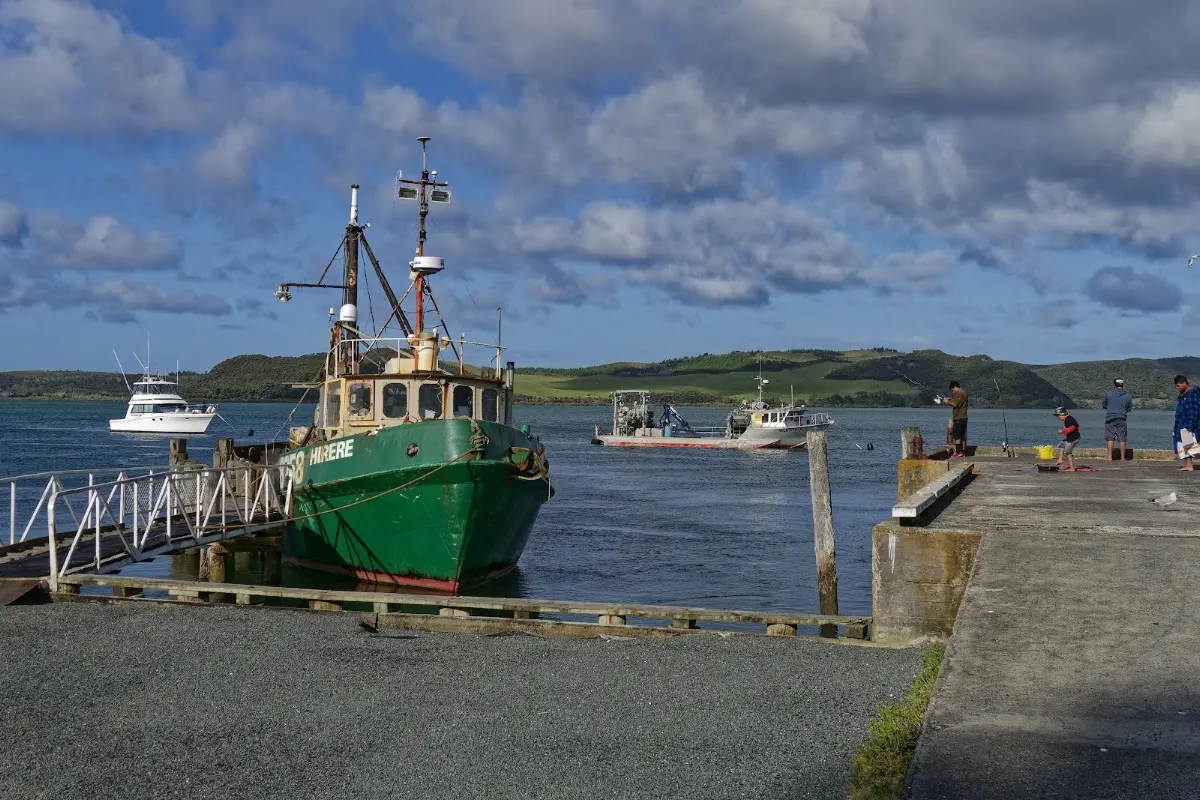
<p class="img-caption">Fishing boats at the Houhora wharf, near Pukenui — this far north, fishing is still very much a working trade, not just a tourist activity.</p></p>

<div class="w3-row w3-padding-32">
<div class="w3-card-1 w3-border w3-round">
<header class="w3-container w3-theme-green w3-round">
<h4>Kauri gum and gum-diggers</h4>
</header>
<div class="w3-container">
<p>
Kauri gum is the fossilised resin of the kauri tree, called kapia by Māori and used long before Europeans arrived — as chewing gum, fire-starter, tattoo pigment, and material for jewellery. From the 1840s it became a major export, prized for varnish; by the 1890s, 70% of England's oil varnish relied on it, and it was Auckland's biggest export commodity, peaking at over 11,000 tonnes in 1899.</p>
<p>As surface gum ran out, digging took over — often in swamps and hillsides across Northland, Coromandel, and Auckland. By the 1890s an estimated 20,000 people worked the gumfields, Māori, European settlers, and a large Dalmatian community among them, in poorly paid but steady work regulated from 1898 by the Kauri Gum Industry Act. The trade collapsed with synthetic alternatives in the 1930s, but the diggers' legacy — and the odd museum full of polished gum nuggets — is still part of Northland's identity today.
</p>
</div>
</div>
</div>


<p></p>
<p><a href="nz03_ninetymilebeach.php">...next chapter</a>.</p>

<div id="myModal" class="modal">
  <span class="close">&times;</span>

  <!-- Navigation buttons -->
  <span class="prev">&#10094;</span>
  <span class="next">&#10095;</span>

  <img class="modal-content" id="img01">
  <div id="caption"></div>
</div>


<?php
// Show related trips with matching tags
include '../includes/related_trips.php';
?>

</div>
<?php include '../nav/tail.php';?>