<?php include '../nav/top.php';?>
<title>Biking and Hiking New Zealand</title>
<meta content="new zealand, bicycle tour" name="keywords"/>
<meta content="Biking and Hiking New Zealand" name="description"/>
<?php include '../nav/head3rd.php';?>

<!-- Sidebar -->

<?php include 'sidebarnz.php';?>

<!-- Overlay effect when opening sidebar on small screens -->

<div class="w3-overlay w3-hide-large" onclick="w3_close()" style="cursor:pointer" title="close side menu" id="myOverlay"></div>

<!-- Main content: shift it to the right by 300 pixels when the sidebar is visible -->
<div class="w3-main main-content" style="margin-left:300px">
  <div class="w3-row w3-padding-64 w3-container">


<?php
$trip_meta = [
    "year"     => "2015/2016",
    "distance" => "10050 km",
    "tags"     => ["Oceania","New Zealand", "Mountains"],
    "url"      => "../2016/nz10_abeltasman.php"
];
include '../includes/trip_summary.php';
?>

<div class="w3-large trip-content">
<h2 class="w3-text-blue">Biking and Hiking New Zealand - Abel Tasman Track</h2>

<div class="w3-row w3-padding-32">
<b>Sunday, 22 November 2015</b>
<p>
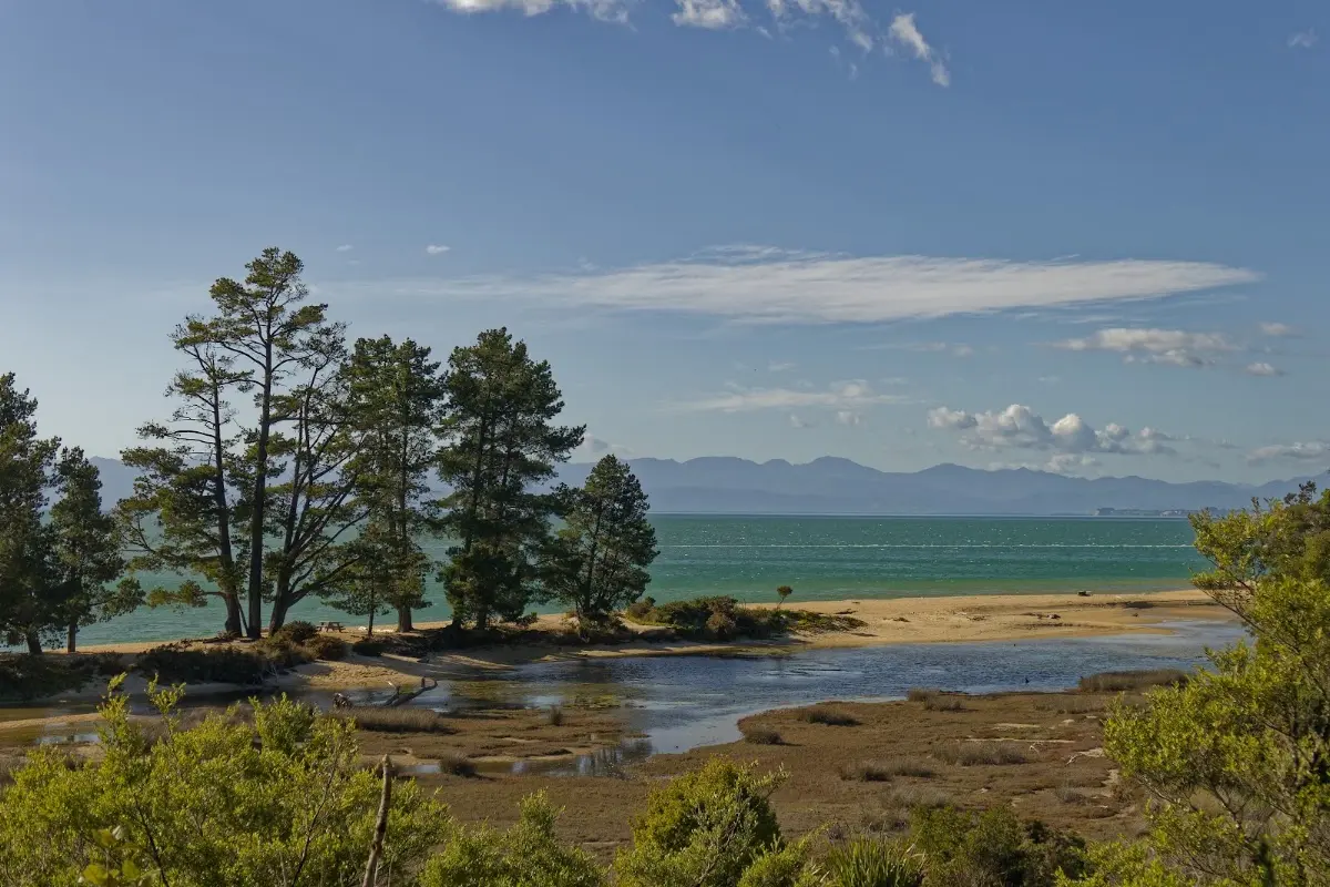
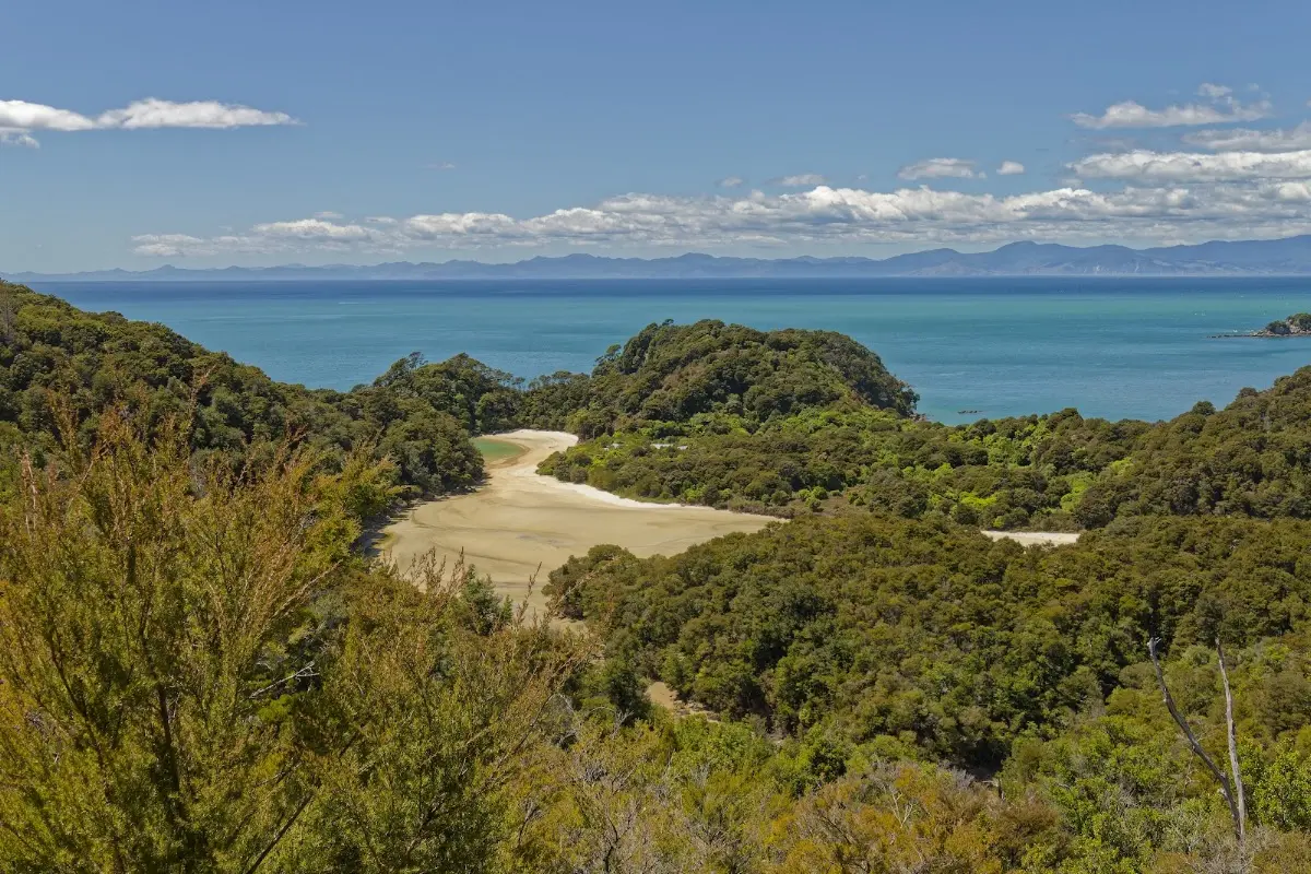
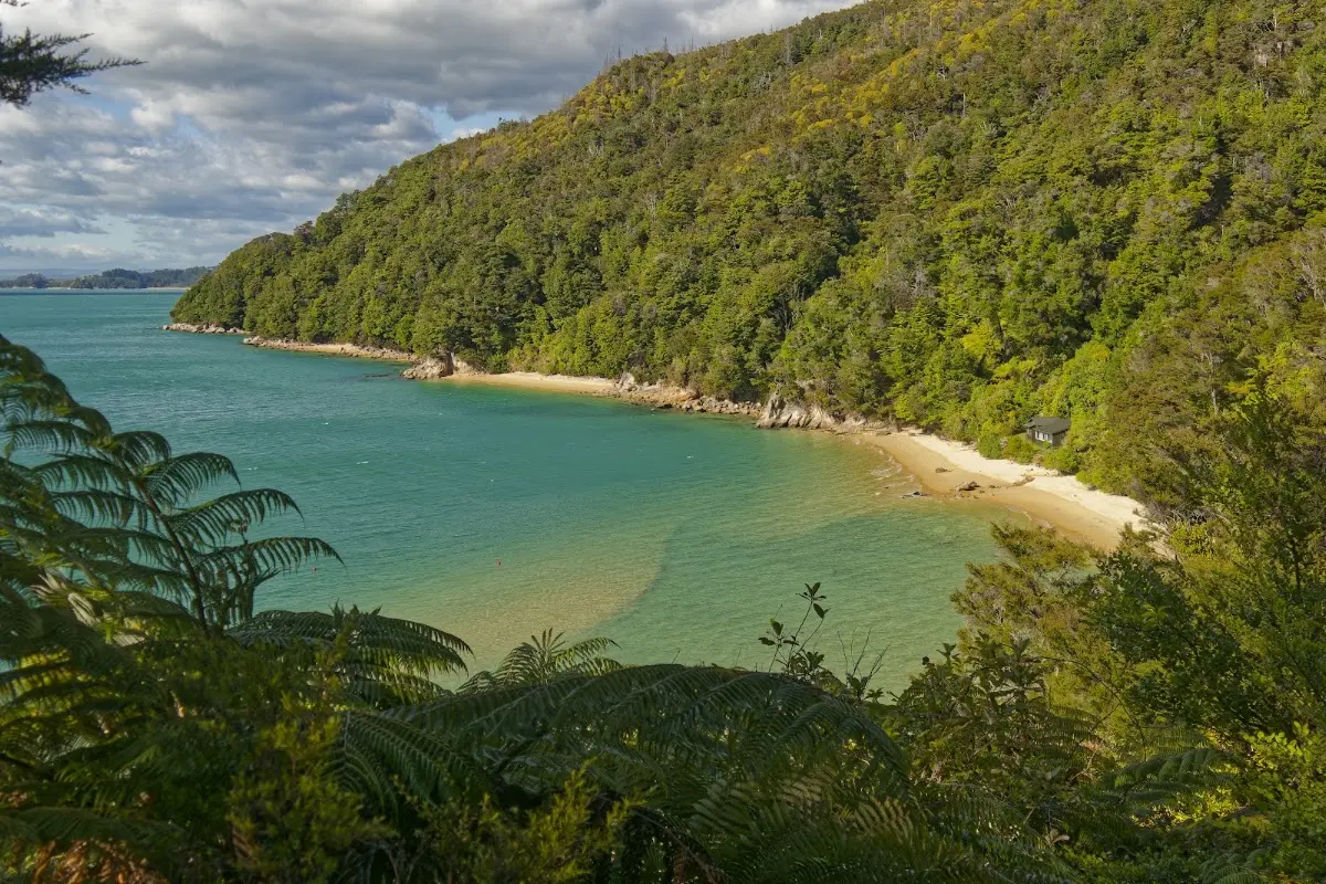
About four hours on a very good and pleasant coastal track to Torrent Bay, which can only be crossed within about two hours of low tide. Another three hours brought me to Bark Bay, where there is space for around 40 tents and a wonderful sandy beach for a swim.
If you start early — around six o'clock — you have the track almost to yourself for a few hours. I walked part of the way with Sina, who continued on to a hut in the evening. At my campsite I met Sarah from Germany, who had spent three years in South America and was now spending a year in New Zealand. We talked until the sun went down.</p>
<p>It is a bit of a nuisance that you have to carry your tent, sleeping bag, mattress, stove, food, and everything else for just one night in your tent. Still, with good weather, these were two of the best days I have ever had on a walk. You meet quite a few people — you never walk alone.
</p>
</div>

<p><div class="image-container"><img class="modal-image" data-large-src="img_nz10_abeltasman/20151122_070748_large.webp" src="img_nz10_abeltasman/20151122_070748.webp"/></div></p>

<p><div class="image-container"><img class="modal-image" data-large-src="img_nz10_abeltasman/20151122_071042_large.webp" src="img_nz10_abeltasman/20151122_071042.webp"/></div></p>
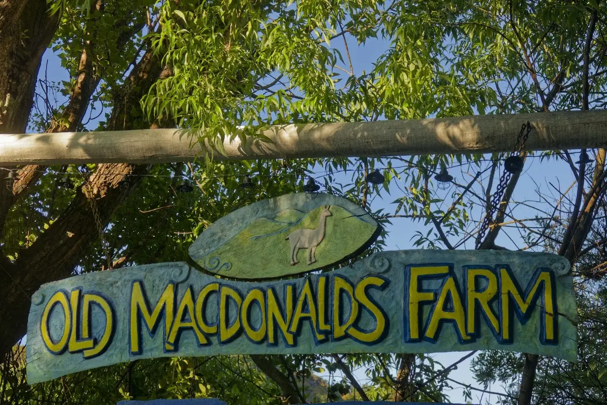
<p class="img-caption">Old MacDonald's Farm — bike safely in the shed, everything else in the pack, off before six.</p>

<p><div class="image-container"><img class="modal-image" data-large-src="img_nz10_abeltasman/20151122_071846_large.webp" src="img_nz10_abeltasman/20151122_071846.webp"/></div></p>
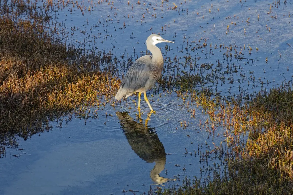
<p class="img-caption">A white-faced heron stalking the shallows near Mārahau, mirrored perfectly in the still water.</p>

<p><div class="image-container"><img class="modal-image" data-large-src="img_nz10_abeltasman/20151122_071904_large.webp" src="img_nz10_abeltasman/20151122_071904.webp"/></div></p>

<p><div class="image-container"><img class="modal-image" data-large-src="img_nz10_abeltasman/20151122_073059_large.webp" src="img_nz10_abeltasman/20151122_073059.webp"/></div></p>
<p class="img-caption">The track before 7am — exactly the empty window an early start buys you.</p>

<p><div class="image-container"><img class="modal-image" data-large-src="img_nz10_abeltasman/20151122_082253_large.webp" src="img_nz10_abeltasman/20151122_082253.webp"/></div></p>


<div class="w3-row w3-padding-32">
<div class="w3-card-1 w3-border w3-round">
<header class="w3-container w3-theme-green w3-round">

<h4>Abel Tasman National Park</h4>
</header>
<div class="w3-container">
<p>
Abel Tasman National Park is New Zealand's smallest national park, covering 237.1 km² at the northern end of the South Island, between Golden Bay and Tasman Bay. Despite its size it is one of the most visited parks, largely thanks to the popular 60 km Abel Tasman Coast Track.</p>
<p>
The park's human history spans roughly 700 years, beginning with early Māori iwi such as Waitaha and Rapuwai. European arrival in the 19th century brought deforestation, farming, and quarrying; today park management focuses on ecosystem regeneration.</p>
<p>
Established in 1942 to mark the 300th anniversary of Abel Tasman's visit, the park has grown over the decades, most recently by 7 hectares in Awaroa Inlet, purchased through a crowdfunding campaign.</p>
<p>
Before Tasman's 1642 arrival, the coast was home to iwi including Muaūpoko and Ngāti Tūmatakōkiri, who used its resources for food and agriculture.</p>
<p>
The park's creation was driven by ornithologist Pérrine Moncrieff, who campaigned for its reservation; it opened officially in December 1942 with the Netherlands' Queen Wilhelmina as patron.</p>
<p>
It began at 15,225 hectares, with land donated by the Golden Bay Cement Company for the Abel Tasman Monument, and has grown through further purchases, notably in 1946 and 2008.</p>
<p>
Geographically the park is forested, hilly terrain north of the Tākaka and Riwaka Rivers, bordered by Golden Bay and Tasman Bay, and includes islands such as the Tata Islands and Tonga Island.</p>
<p>
Its coast is a Scenic Reserve, and the adjacent Tonga Island Marine Reserve protects marine life. The Abel Tasman Monument near the park's northern end commemorates the first European-Māori contact.
</p>
</div></div></div>


<p><div class="image-container"><img class="modal-image" data-large-src="img_nz10_abeltasman/20151122_085232_large.webp" src="img_nz10_abeltasman/20151122_085232.webp"/></div></p>

<p><div class="image-container"><img class="modal-image" data-large-src="img_nz10_abeltasman/20151122_092957_large.webp" src="img_nz10_abeltasman/20151122_092957.webp"/></div></p>
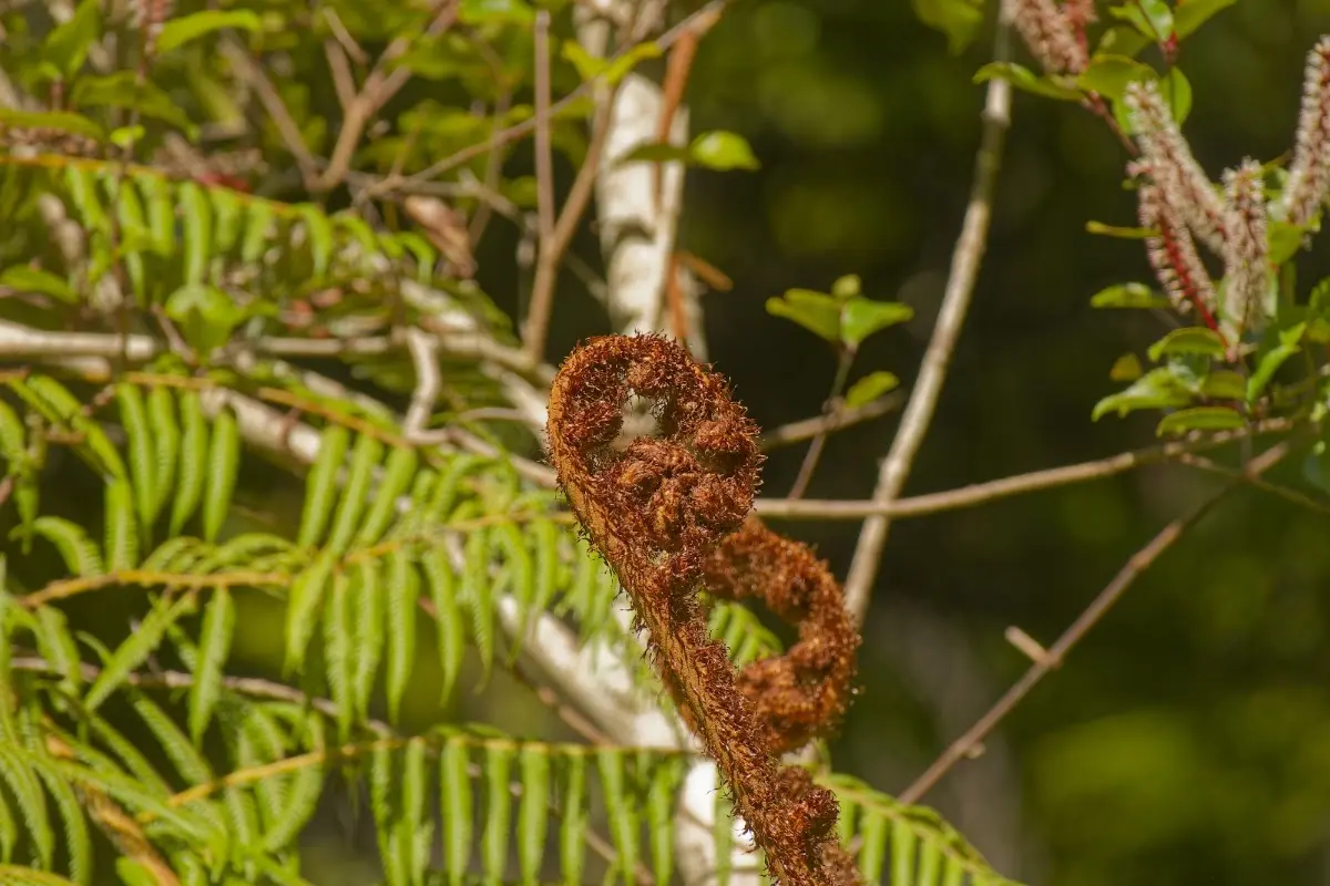
<p class="img-caption">A koru — an unfurling silver fern frond, the shape on half the country's logos.</p>

<p><div class="image-container"><img class="modal-image" data-large-src="img_nz10_abeltasman/20151122_101736_large.webp" src="img_nz10_abeltasman/20151122_101736.webp"/></div></p>

<p><div class="image-container"><img class="modal-image" data-large-src="img_nz10_abeltasman/20151122_102456_large.webp" src="img_nz10_abeltasman/20151122_102456.webp"/></div></p>

<p><div class="image-container"><img class="modal-image" data-large-src="img_nz10_abeltasman/20151122_102835_large.webp" src="img_nz10_abeltasman/20151122_102835.webp"/></div></p>

<p><div class="image-container"><img class="modal-image" data-large-src="img_nz10_abeltasman/20151122_104126_large.webp" src="img_nz10_abeltasman/20151122_104126.webp"/></div></p>
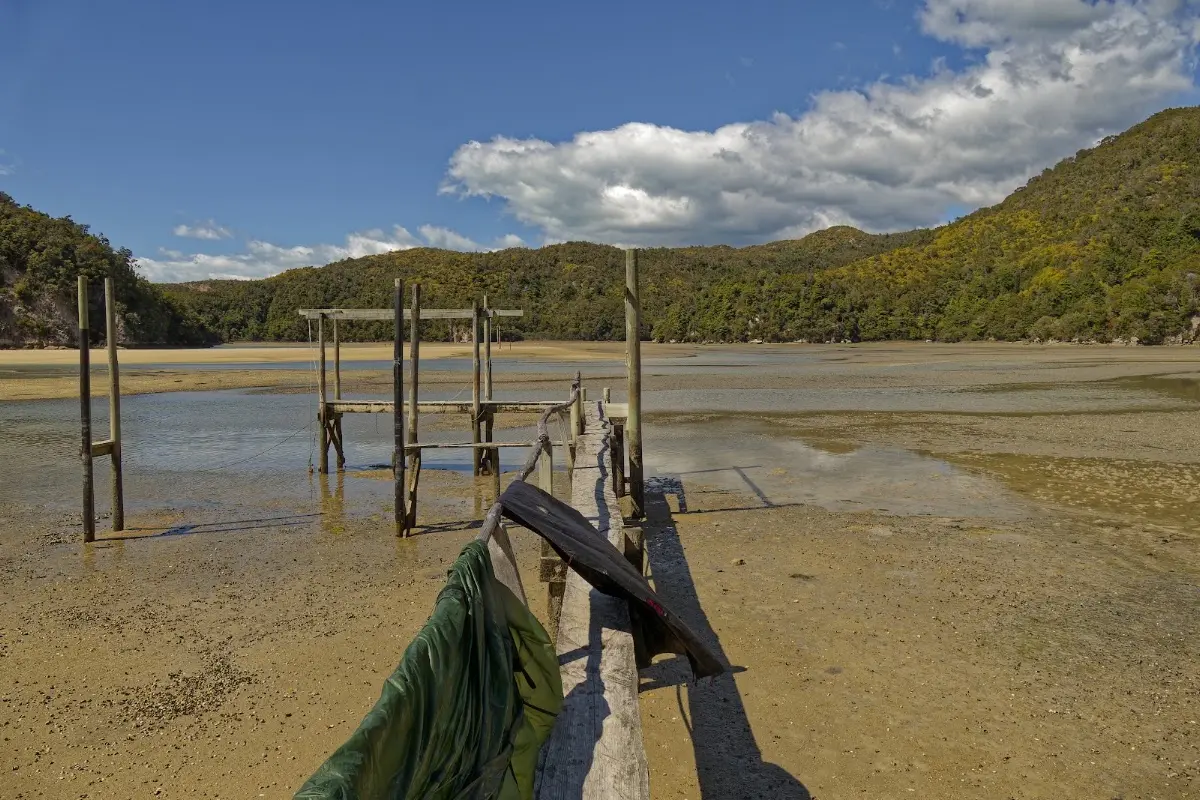
<p class="img-caption">A skeletal jetty stranded at low tide, gear drying over the rail mid-crossing.</p>


<div class="w3-row w3-padding-32">
<div class="w3-card-1 w3-border w3-round">
<header class="w3-container w3-theme-green w3-round">

<h4>New Zealand Great Walks</h4>
</header>
<div class="w3-container">
<p>
The New Zealand Great Walks are a collection of premier tramping tracks maintained by the Department of Conservation, showcasing some of the country's most stunning landscapes, from coastal beaches to alpine terrain. These tracks range from 32 km to 82 km, typically taking 3 to 6 days, with the Whanganui Journey a 145 km, 5-day river journey. Only the Tongariro Northern Circuit and the Kepler Track are loops; the rest require transport back to the start.</p>
<p>
Established in 1992, the Great Walks network was created to promote hiking and manage tourism's impact on popular tracks. The tracks feature well-equipped backcountry huts and are maintained to a high standard, drawing many international visitors. Booking systems manage numbers, and private operators offer guided walks. Walking access itself is free, but overnight stays at huts or campsites are charged, and camping is restricted to designated areas.</p>
<p>
North Island Great Walks include the Lake Waikaremoana Great Walk, the Tongariro Northern Circuit, and the Whanganui Journey, a canoe voyage on the country's longest navigable river.</p>
<p>
South Island Great Walks are the Abel Tasman Coast Track, Heaphy Track, Routeburn Track, Milford Track, Paparoa Track, Kepler Track, and Hump Ridge Track. Abel Tasman is the most popular; Milford the most famous.</p>
<p>
On Stewart Island / Rakiura, the Rakiura Track offers a walk through remote, rugged terrain.
</p>
</div></div></div>

<p><div class="image-container"><img class="modal-image" data-large-src="img_nz10_abeltasman/20151122_105135_large.webp" src="img_nz10_abeltasman/20151122_105135.webp"/></div></p>
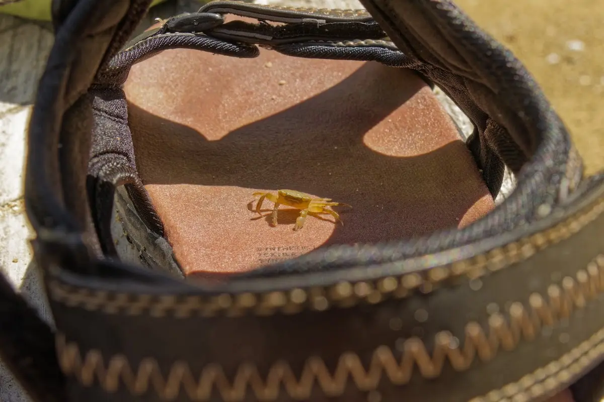
<p class="img-caption">A tiny yellow crab spotted near my sandal during the crossing.</p>

<p><div class="image-container"><img class="modal-image" data-large-src="img_nz10_abeltasman/20151122_111333_large.webp" src="img_nz10_abeltasman/20151122_111333.webp"/></div></p>

<p><div class="image-container"><img class="modal-image" data-large-src="img_nz10_abeltasman/20151122_115847_large.webp" src="img_nz10_abeltasman/20151122_115847.webp"/></div></p>
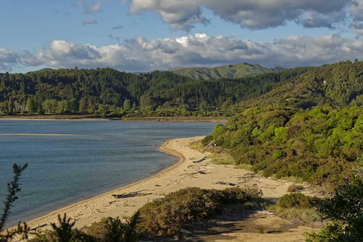
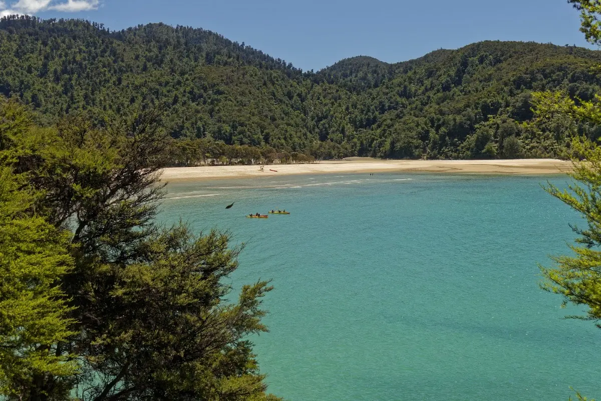
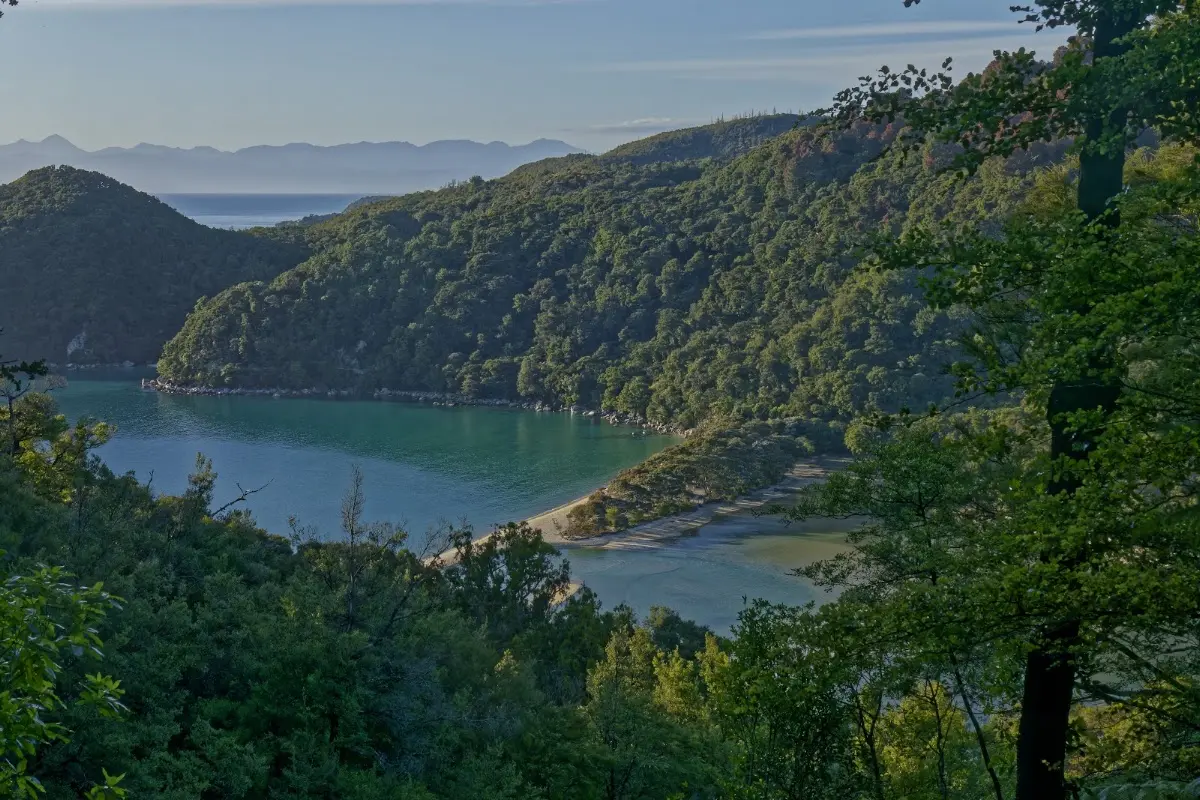
<p class="img-caption">Bark Bay from above — the wide beach with room for 40 tents, laid out below the track.</p>

<p><div class="image-container"><img class="modal-image" data-large-src="img_nz10_abeltasman/20151122_133248_large.webp" src="img_nz10_abeltasman/20151122_133248.webp"/></div></p>

<p><div class="image-container"><img class="modal-image" data-large-src="img_nz10_abeltasman/20151122_155915_large.webp" src="img_nz10_abeltasman/20151122_155915.webp"/></div></p>
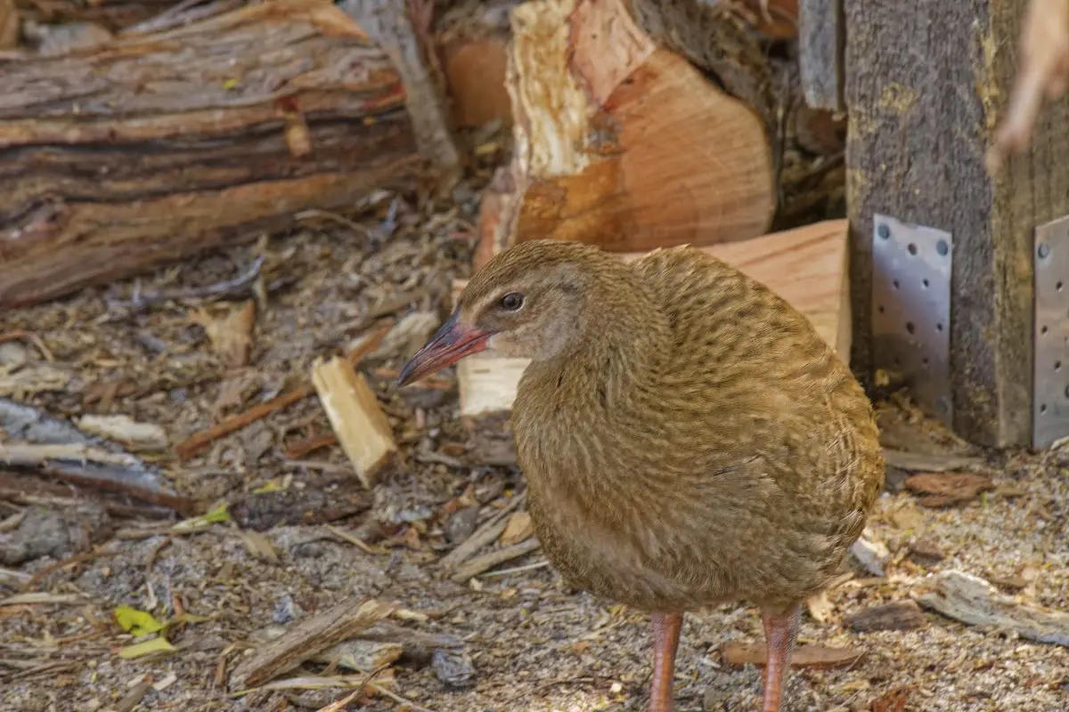
<p class="img-caption">A weka scavenging around the woodpile at the campsite, bold and completely unafraid of people.</p>

<p><div class="image-container"><img class="modal-image" data-large-src="img_nz10_abeltasman/20151122_160134_large.webp" src="img_nz10_abeltasman/20151122_160134.webp"/></div></p>

<p><div class="image-container"><img class="modal-image" data-large-src="img_nz10_abeltasman/20151122_160717_large.webp" src="img_nz10_abeltasman/20151122_160717.webp"/></div></p>
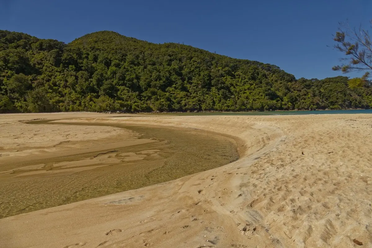
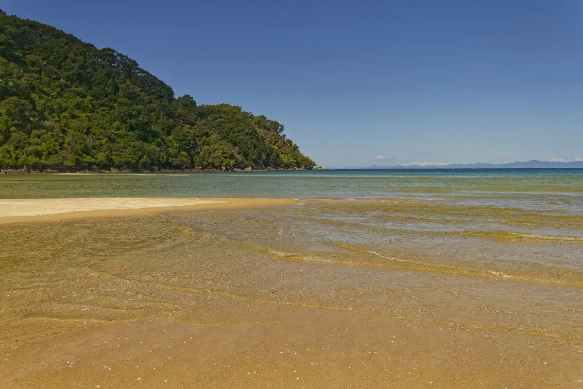
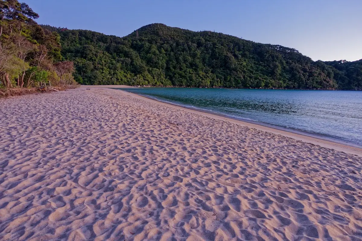
<p class="img-caption">Bark Bay's sandy beach — the swim at the end of the day's three hours.</p>

<p><div class="image-container"><img class="modal-image" data-large-src="img_nz10_abeltasman/20151122_172959_large.webp" src="img_nz10_abeltasman/20151122_172959.webp"/></div></p>
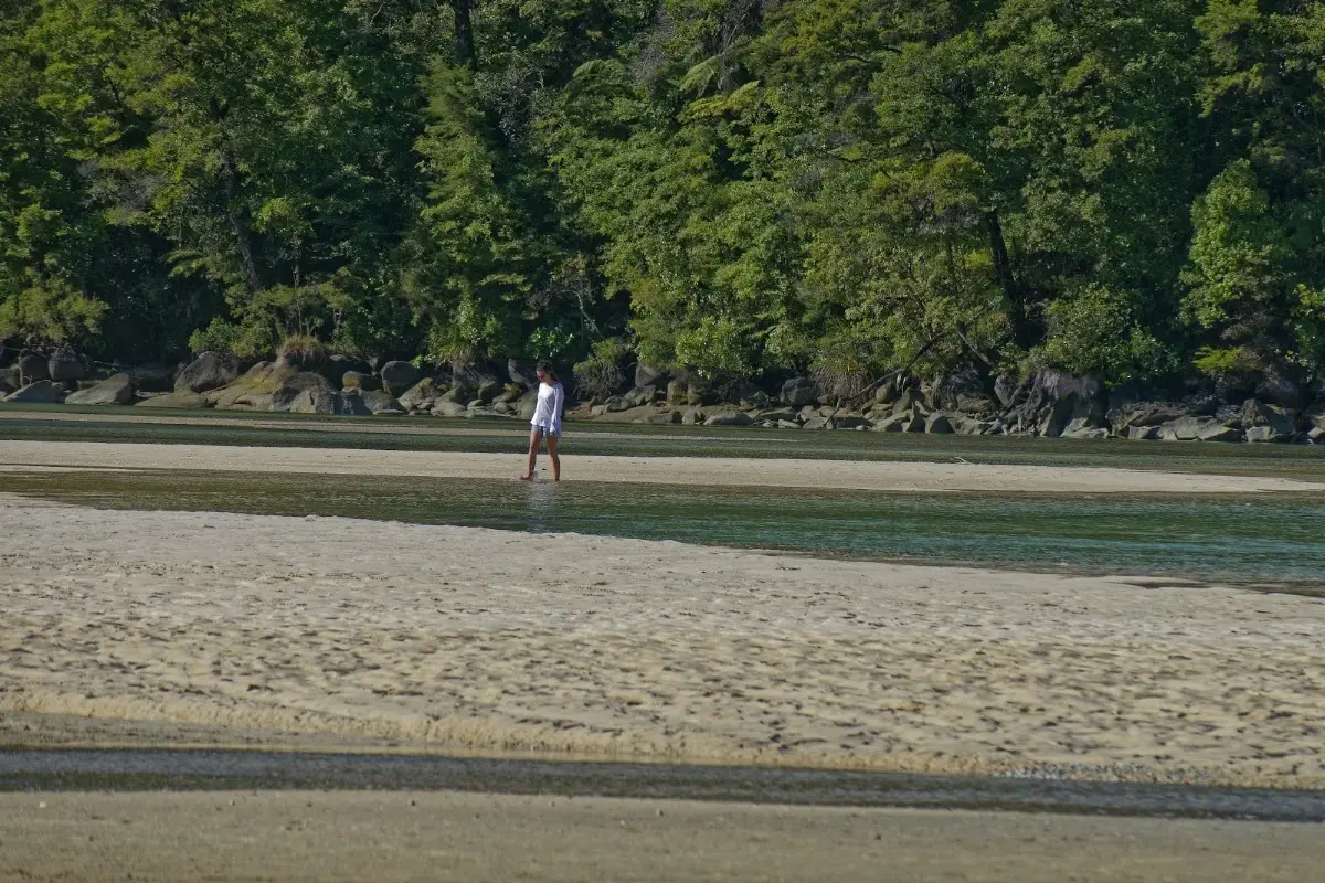
<p class="img-caption">A lone figure wading the shallows as evening light softens over the bay.</p>

<p><div class="image-container"><img class="modal-image" data-large-src="img_nz10_abeltasman/20151122_173516_large.webp" src="img_nz10_abeltasman/20151122_173516.webp"/></div></p>
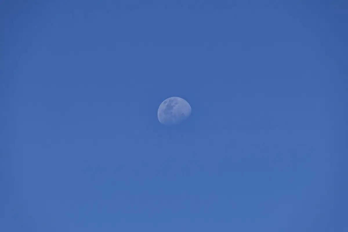
<p class="img-caption">The moon rising as the sun went down — talking with Sarah until the light finally faded.</p>


<div class="w3-row w3-padding-32">
<b>Monday, 23 November 2015</b>
<p>
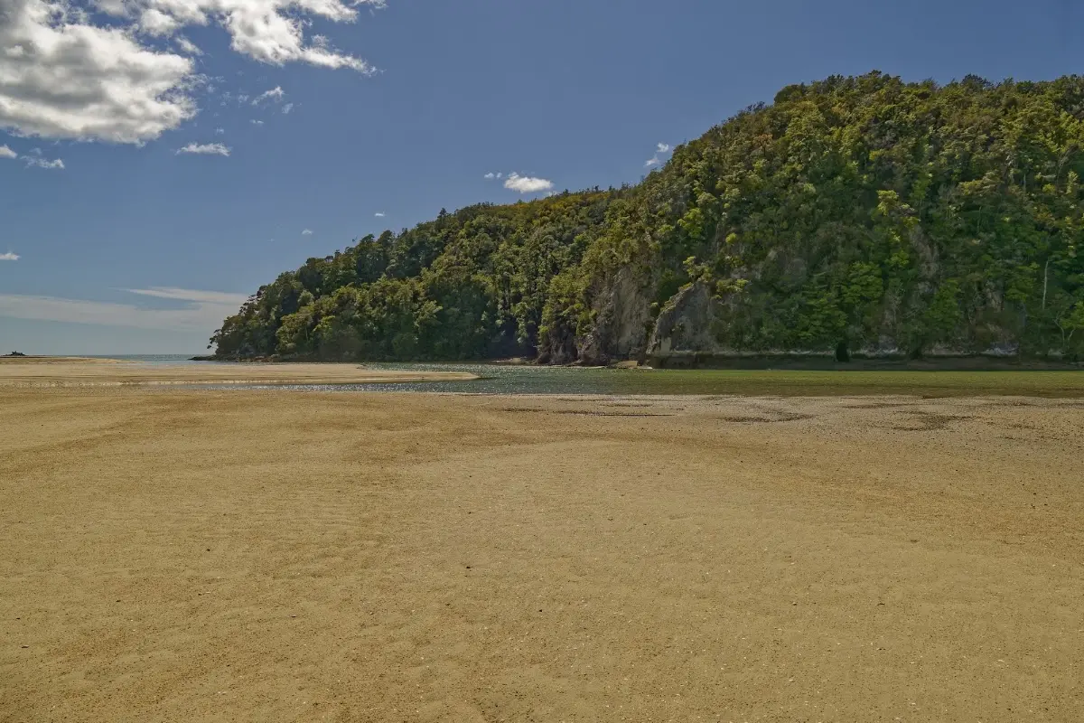
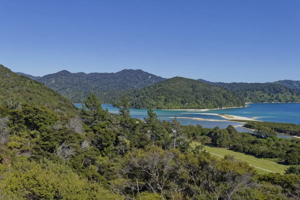
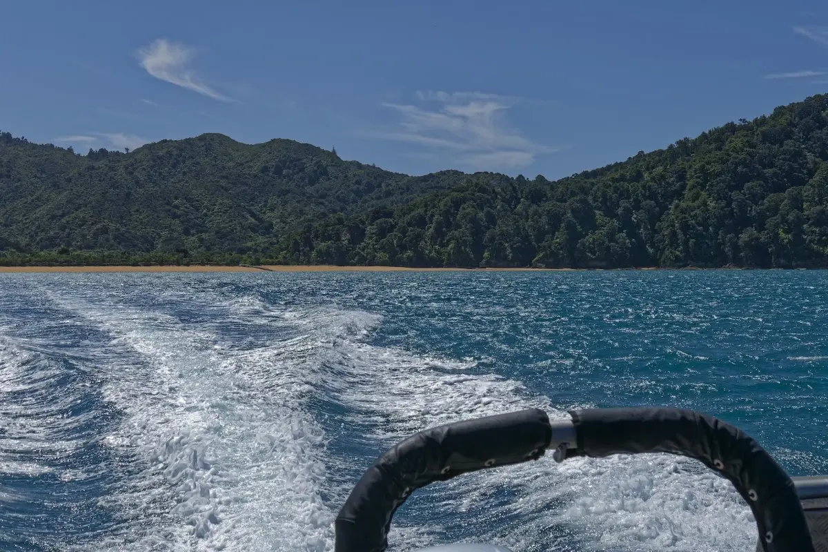
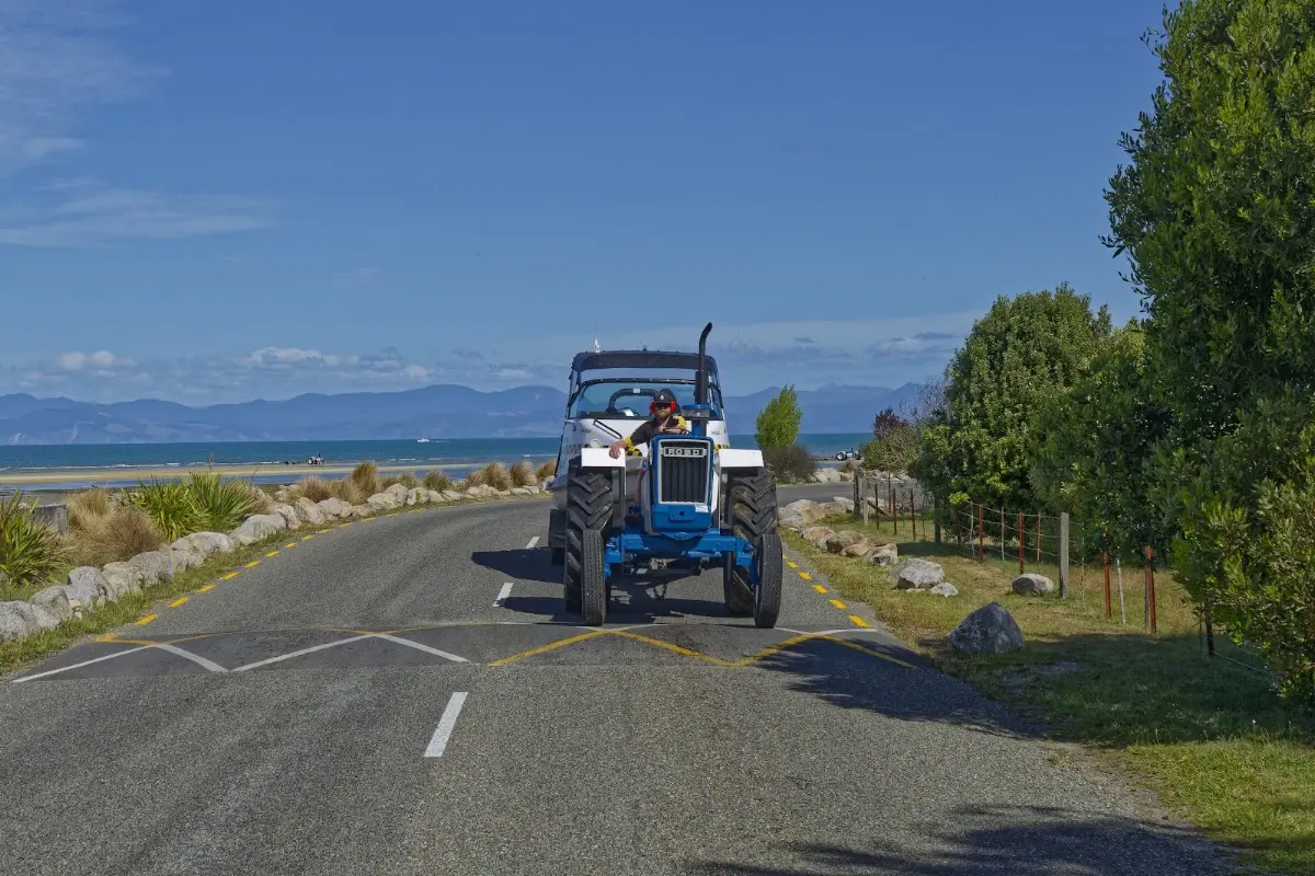
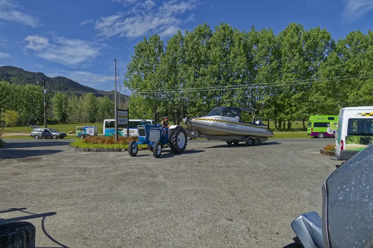
Up and down through forest, jungle-like sections, and long sandy beaches, until you reach Awaroa Inlet, where once again you have to wait for low tide. Sina, Sarah, and I then walked another two hours to Tōtaranui, where you can catch a water taxi — really just a small boat for about ten people — back to Mārahau.
Back at Old MacDonald's Farm, I met Elli, a Tyrolean ski instructor who finally spoke a proper dialect.
</p>
</div>


<p><div class="image-container"><img class="modal-image" data-large-src="img_nz10_abeltasman/20151123_053330_large.webp" src="img_nz10_abeltasman/20151123_053330.webp"/></div></p>
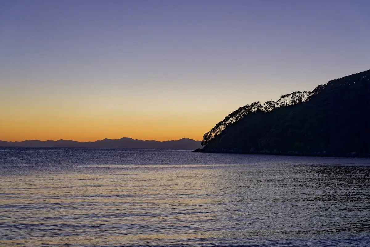
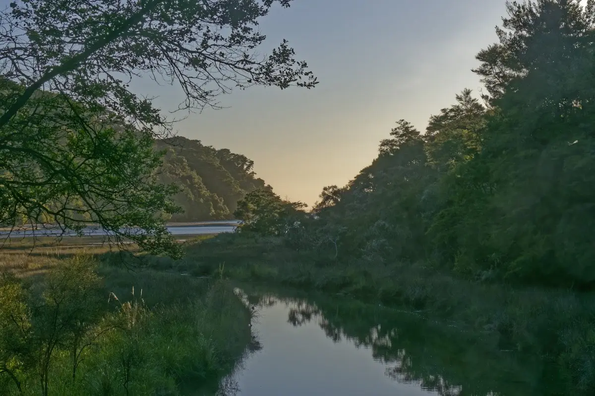
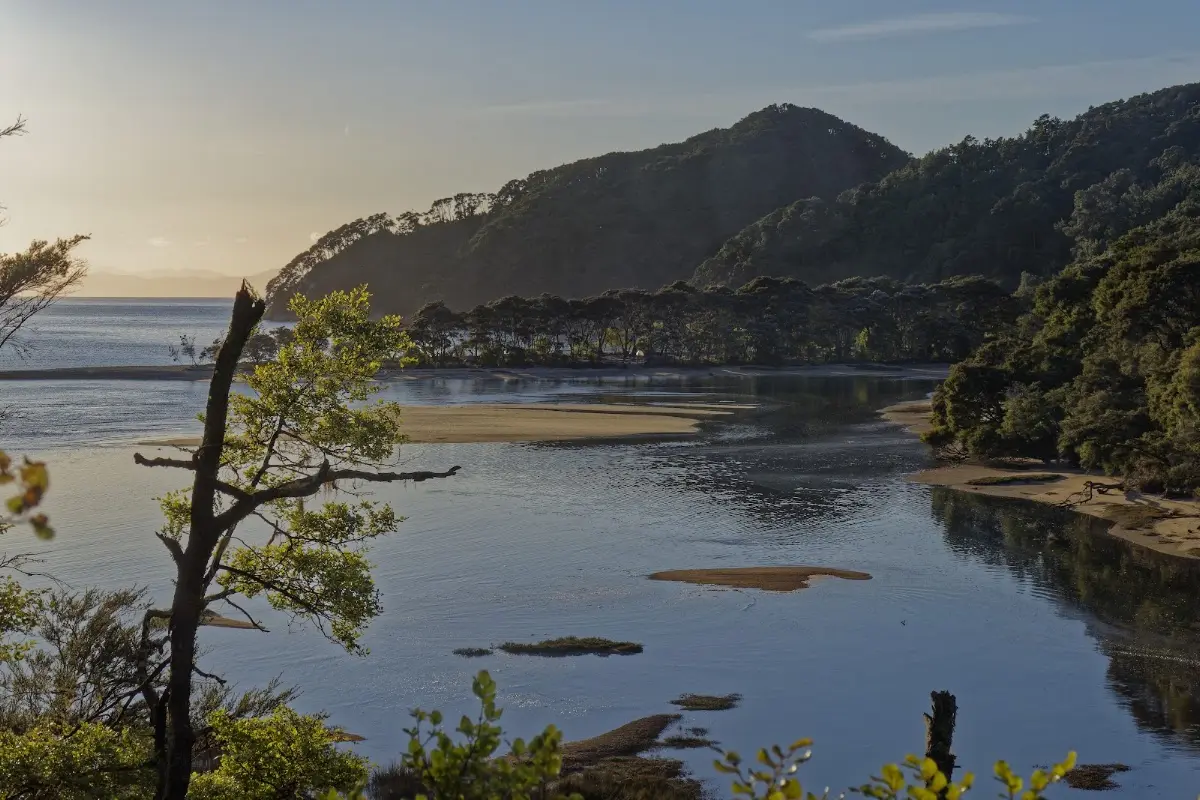
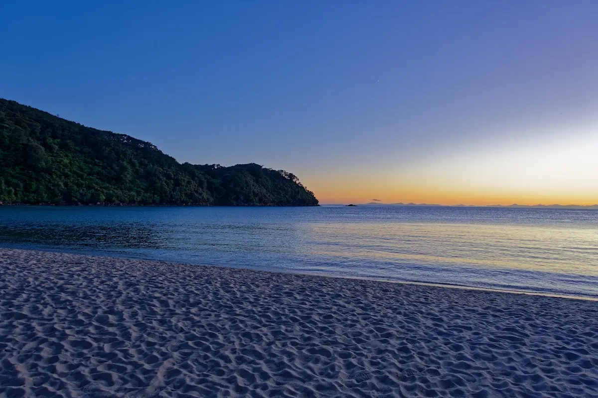
<p class="img-caption">Pre-dawn glow over Bark Bay — up before 5:30am for another day on the coast.</p>

<p><div class="image-container"><img class="modal-image" data-large-src="img_nz10_abeltasman/20151123_053344_large.webp" src="img_nz10_abeltasman/20151123_053344.webp"/></div></p>

<p><div class="image-container"><img class="modal-image" data-large-src="img_nz10_abeltasman/20151123_053411_large.webp" src="img_nz10_abeltasman/20151123_053411.webp"/></div></p>

<p><div class="image-container"><img class="modal-image" data-large-src="img_nz10_abeltasman/20151123_064054_large.webp" src="img_nz10_abeltasman/20151123_064054.webp"/></div></p>

<p><div class="image-container"><img class="modal-image" data-large-src="img_nz10_abeltasman/20151123_064421_large.webp" src="img_nz10_abeltasman/20151123_064421.webp"/></div></p>

<p><div class="image-container"><img class="modal-image" data-large-src="img_nz10_abeltasman/20151123_070250_large.webp" src="img_nz10_abeltasman/20151123_070250.webp"/></div></p>

<p><div class="image-container"><img class="modal-image" data-large-src="img_nz10_abeltasman/20151123_075452_large.webp" src="img_nz10_abeltasman/20151123_075452.webp"/></div></p>
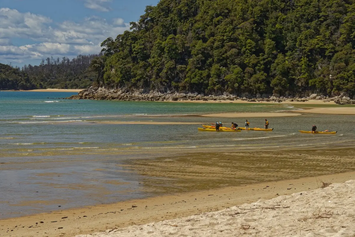
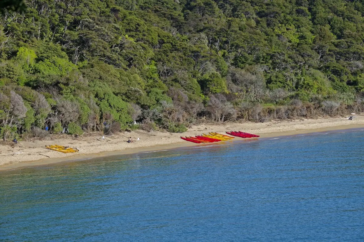
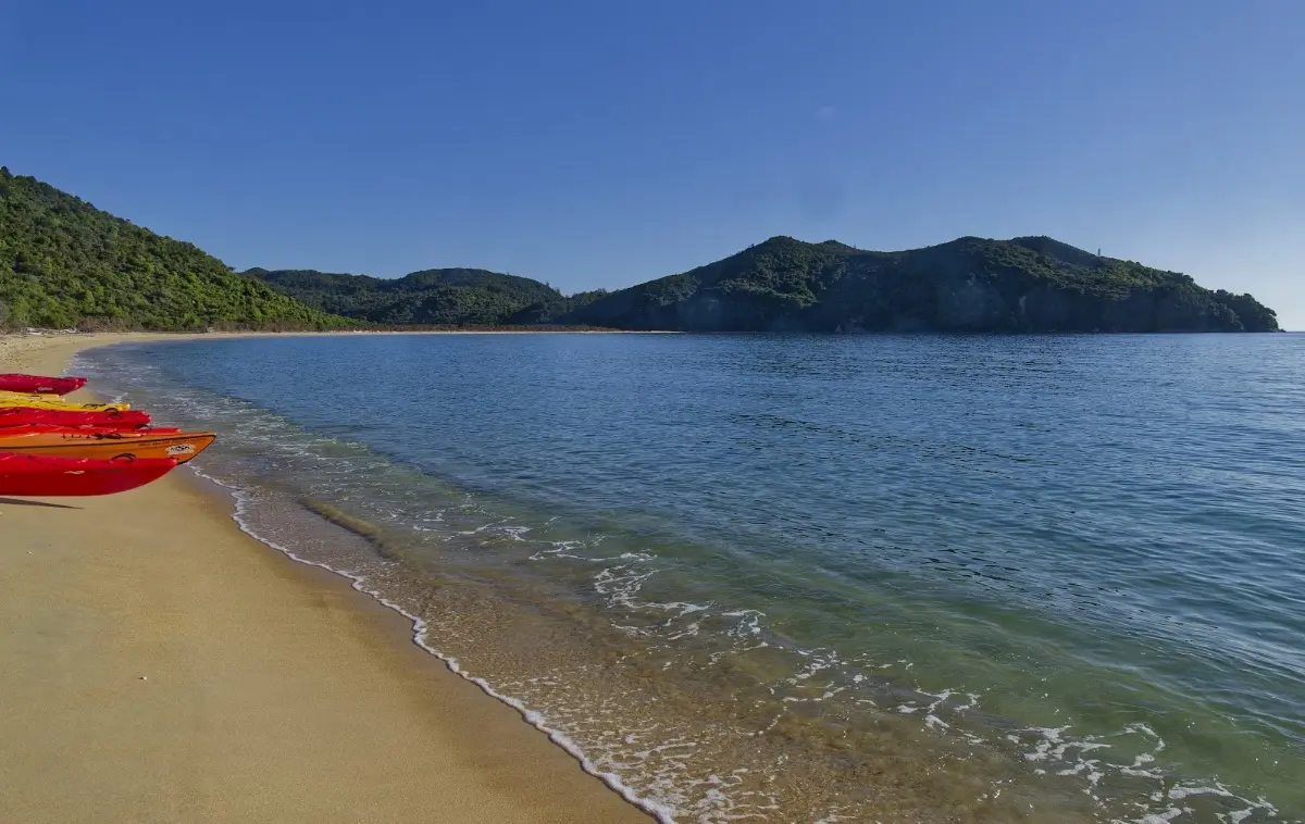
<p class="img-caption">A whole fleet of hire kayaks lined up on the beach, red and yellow against the sand.</p>

<p><div class="image-container"><img class="modal-image" data-large-src="img_nz10_abeltasman/20151123_080619_large.webp" src="img_nz10_abeltasman/20151123_080619.webp"/></div></p>

<p><div class="image-container"><img class="modal-image" data-large-src="img_nz10_abeltasman/20151123_080557_large.webp" src="img_nz10_abeltasman/20151123_080557.webp"/></div></p>

<p><div class="image-container"><img class="modal-image" data-large-src="img_nz10_abeltasman/20151123_080803_large.webp" src="img_nz10_abeltasman/20151123_080803.webp"/></div></p>

<p><div class="image-container"><img class="modal-image" data-large-src="img_nz10_abeltasman/20151123_081411_large.webp" src="img_nz10_abeltasman/20151123_081411.webp"/></div></p>
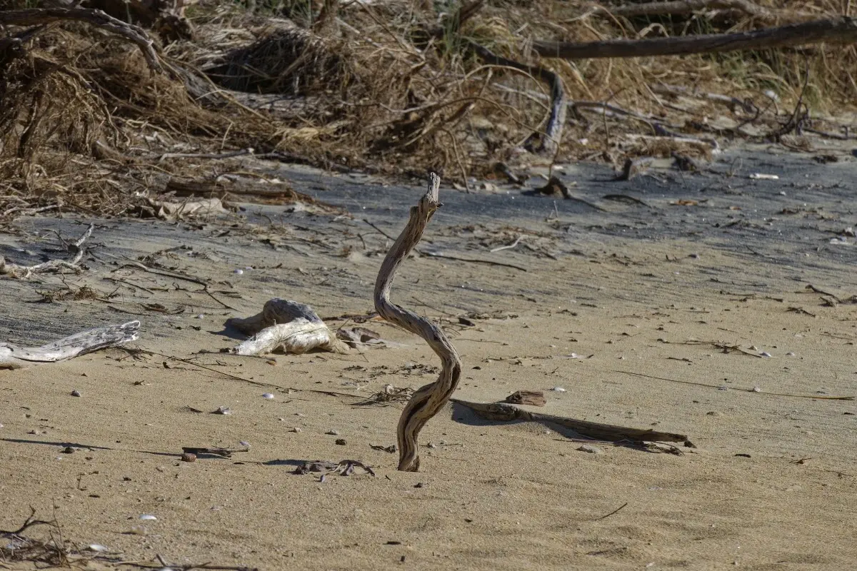
<p class="img-caption">A serpentine piece of driftwood standing upright in the sand, a whole tideline of debris behind it.</p>

<p><div class="image-container"><img class="modal-image" data-large-src="img_nz10_abeltasman/20151123_082116_large.webp" src="img_nz10_abeltasman/20151123_082116.webp"/></div></p>
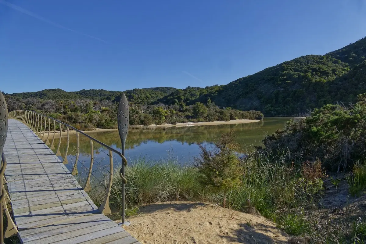
<p class="img-caption">The carved swing bridge over an inlet — one of the little highlights of this stretch of the track.</p>

<p><div class="image-container"><img class="modal-image" data-large-src="img_nz10_abeltasman/20151123_082154_large.webp" src="img_nz10_abeltasman/20151123_082154.webp"/></div></p>

<p><div class="image-container"><img class="modal-image" data-large-src="img_nz10_abeltasman/20151123_082349_large.webp" src="img_nz10_abeltasman/20151123_082349.webp"/></div></p>

<p><div class="image-container"><img class="modal-image" data-large-src="img_nz10_abeltasman/20151123_083647_large.webp" src="img_nz10_abeltasman/20151123_083647.webp"/></div></p>

<p><div class="image-container"><img class="modal-image" data-large-src="img_nz10_abeltasman/20151123_091928_large.webp" src="img_nz10_abeltasman/20151123_091928.webp"/></div></p>
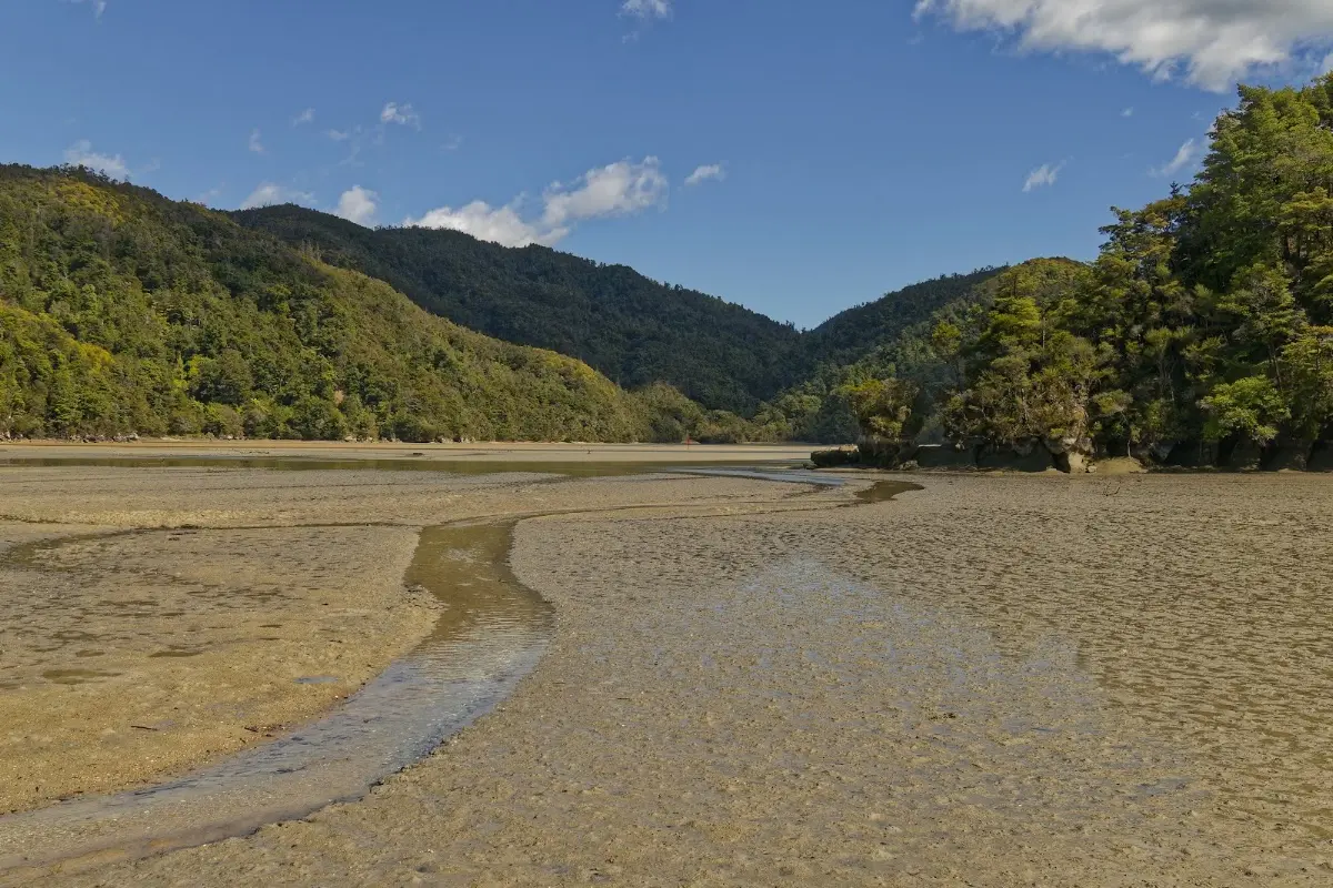
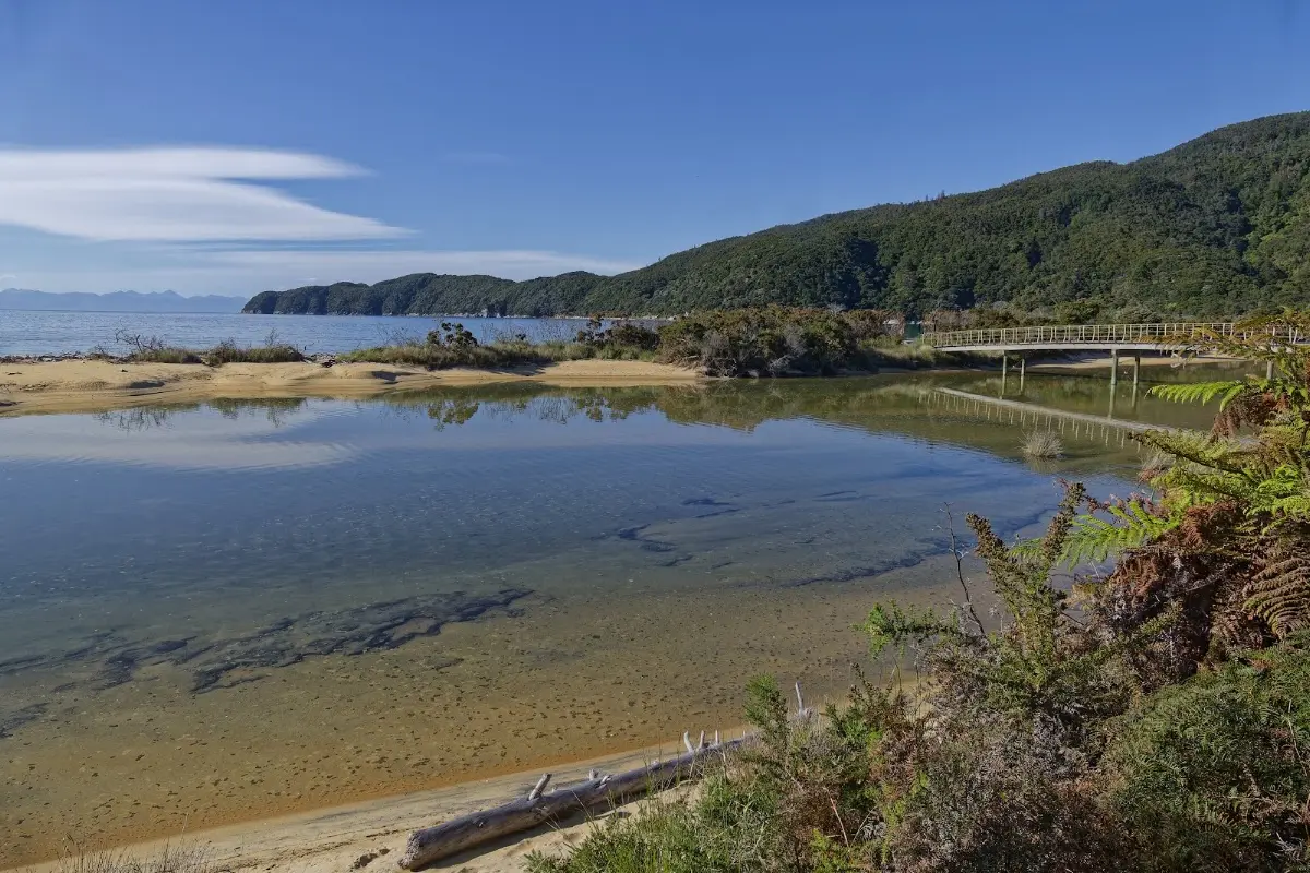
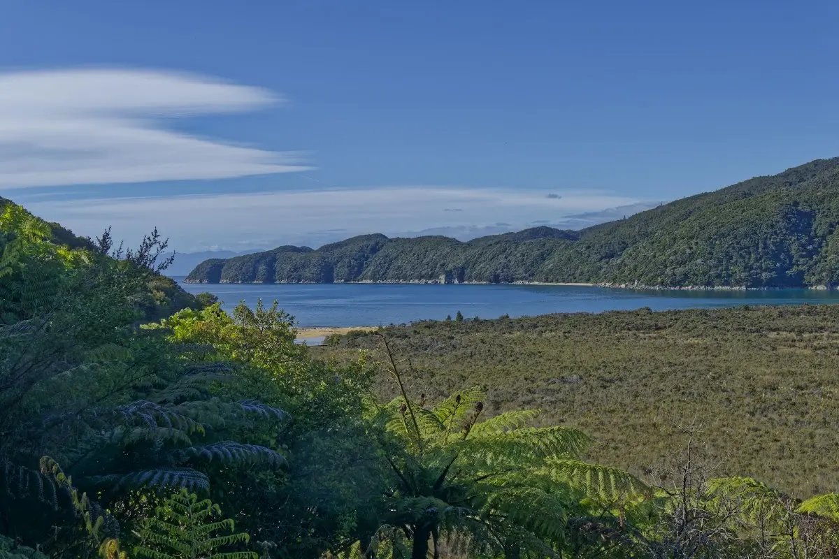
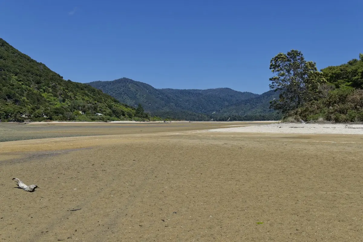
<p class="img-caption">The wide Awaroa Inlet spread out below — the second, and biggest, tidal crossing of the trip.</p>

<p><div class="image-container"><img class="modal-image" data-large-src="img_nz10_abeltasman/20151123_091949_large.webp" src="img_nz10_abeltasman/20151123_091949.webp"/></div></p>

<p><div class="image-container"><img class="modal-image" data-large-src="img_nz10_abeltasman/20151123_092146_large.webp" src="img_nz10_abeltasman/20151123_092146.webp"/></div></p>
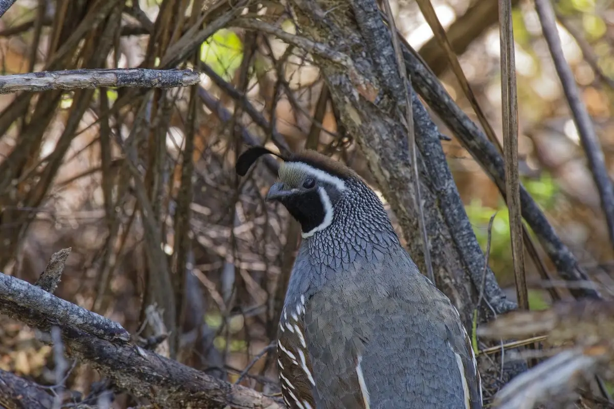
<p class="img-caption">A California quail with its comma-shaped topknot, half-hidden in the scrub.</p>

<p><div class="image-container"><img class="modal-image" data-large-src="img_nz10_abeltasman/20151123_095153_large.webp" src="img_nz10_abeltasman/20151123_095153.webp"/></div></p>

<p><div class="image-container"><img class="modal-image" data-large-src="img_nz10_abeltasman/20151123_100136_large.webp" src="img_nz10_abeltasman/20151123_100136.webp"/></div></p>

<p><div class="image-container"><img class="modal-image" data-large-src="img_nz10_abeltasman/20151123_102255_large.webp" src="img_nz10_abeltasman/20151123_102255.webp"/></div></p>
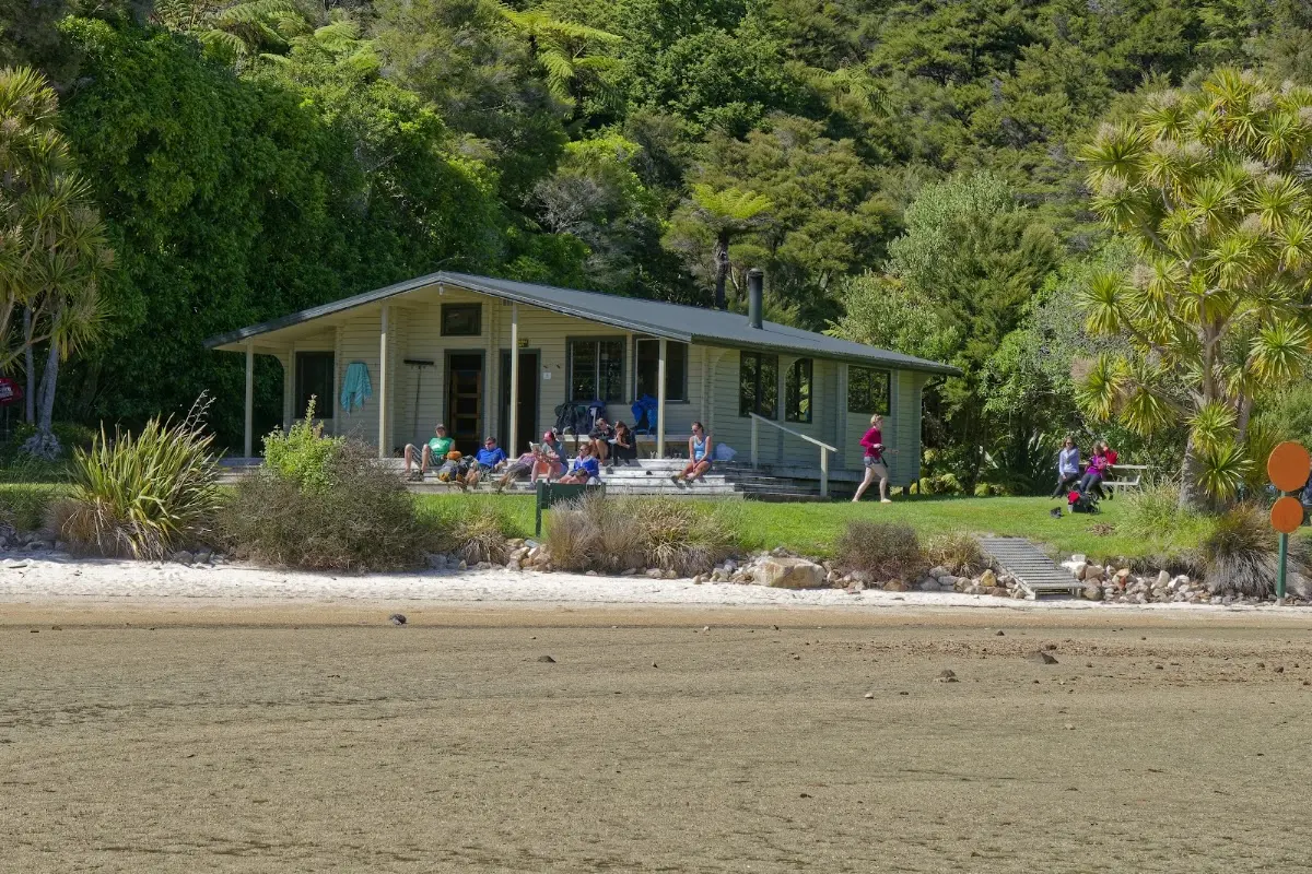
<p class="img-caption">The DOC hut at Awaroa, its porch full of trampers waiting out the tide before crossing.</p>

<p><div class="image-container"><img class="modal-image" data-large-src="img_nz10_abeltasman/20151123_113238_large.webp" src="img_nz10_abeltasman/20151123_113238.webp"/></div></p>


<div class="w3-row w3-padding-32">
<div class="w3-card-1 w3-border w3-round">
<header class="w3-container w3-theme-green w3-round">

<h4>Abel Tasman Coast Track</h4>
</header>
<div class="w3-container">
<p>
SAFETY - Tidal crossings</p>
<p>
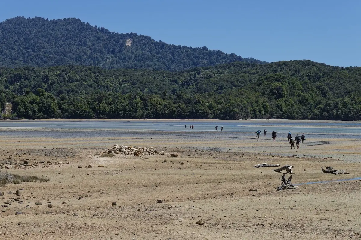
There is one area on the track that is only passable near low
tide: Awaroa Inlet can only be crossed within 1 hr 30 min
before and 2 hr after low tide. It is dangerous to cross
outside of these times. The estuaries of Torrent Bay and
Bark Bay can be crossed near low tide but also have all-tide
tracks around them. At Goat Bay and Anapai, the track
follows the top of the beach. Anapai is passable at
all times. At Goat Bay a short section of the beach may
be impassable during spring high tides.</p>
<p>
The Abel Tasman Coast Track is a 60 km walking trail in New Zealand's Abel Tasman National Park, stretching from Mārahau in the south to Wainui in the north. Known for its mild weather and scenic views, the track is accessible year-round and is one of the country's Great Walks. It offers a mix of independent and guided walking options, with sea kayaking available along the protected coastline.</p>
<p>
The track can be completed in 3 to 5 days, with single-day walks also popular thanks to boat access at various points. The only road access aside from the start and end points is at Tōtaranui. Water taxis run between Mārahau and Tōtaranui, making sections like Bark Bay to Torrent Bay, with its swing bridge and stunning views, popular for shorter walks.</p>
<p>
Overnight stays require reservations at designated DOC campsites and huts, with a few commercial lodges available. Because of the tidal crossings, walkers need to plan around low tides.</p>
<p>
The track is divided into sections with huts at Anchorage Bay, Bark Bay, Awaroa Inlet, and Whariwharangi Bay. Mārahau, the starting point, has a DOC information centre and accommodation. The first section to Anchorage Bay passes several small bays and a side track to Cleopatra's Pool.</p>
<p>
From Anchorage Bay to Bark Bay, the track crosses the Torrent Bay estuary, navigable at low tide or bypassed via a high tide track. The Bark Bay to Awaroa Inlet section passes through the Tonga Island Marine Reserve and includes the tidal crossing at Awaroa Bay.</p>
<p>
The Awaroa Inlet to Whariwharangi Bay section is 16.9 km, with campsites along the way, the tidal crossing at Awaroa Inlet, and scenic views from Skinner Point. Tōtaranui offers the only road access and a camping ground.</p>
<p>
North of Tōtaranui the track is less frequented but just as scenic, with beaches like Anapai Bay and Mutton Cove. A side track to Separation Point offers views of a seal colony and a lighthouse.</p>
<p>
The final section from Whariwharangi Bay to Wainui Bay is a 5.7 km walk over a saddle to the estuary's edge. Mountain biking isn't allowed on the track, but is permitted on the Gibbs Hill track from Tōtaranui to Wainui Bay during certain months.
</p>
</div></div></div>

<p><div class="image-container"><img class="modal-image" data-large-src="img_nz10_abeltasman/20151123_122056_large.webp" src="img_nz10_abeltasman/20151123_122056.webp"/></div></p>
<p class="img-caption">A line of trampers strung out across the vast Awaroa flats, timed just right for low tide.</p>

<p><div class="image-container"><img class="modal-image" data-large-src="img_nz10_abeltasman/20151123_131545_large.webp" src="img_nz10_abeltasman/20151123_131545.webp"/></div></p>

<p><div class="image-container"><img class="modal-image" data-large-src="img_nz10_abeltasman/20151123_151412_large.webp" src="img_nz10_abeltasman/20151123_151412.webp"/></div></p>

<p><div class="image-container"><img class="modal-image" data-large-src="img_nz10_abeltasman/20151123_152333_large.webp" src="img_nz10_abeltasman/20151123_152333.webp"/></div></p>
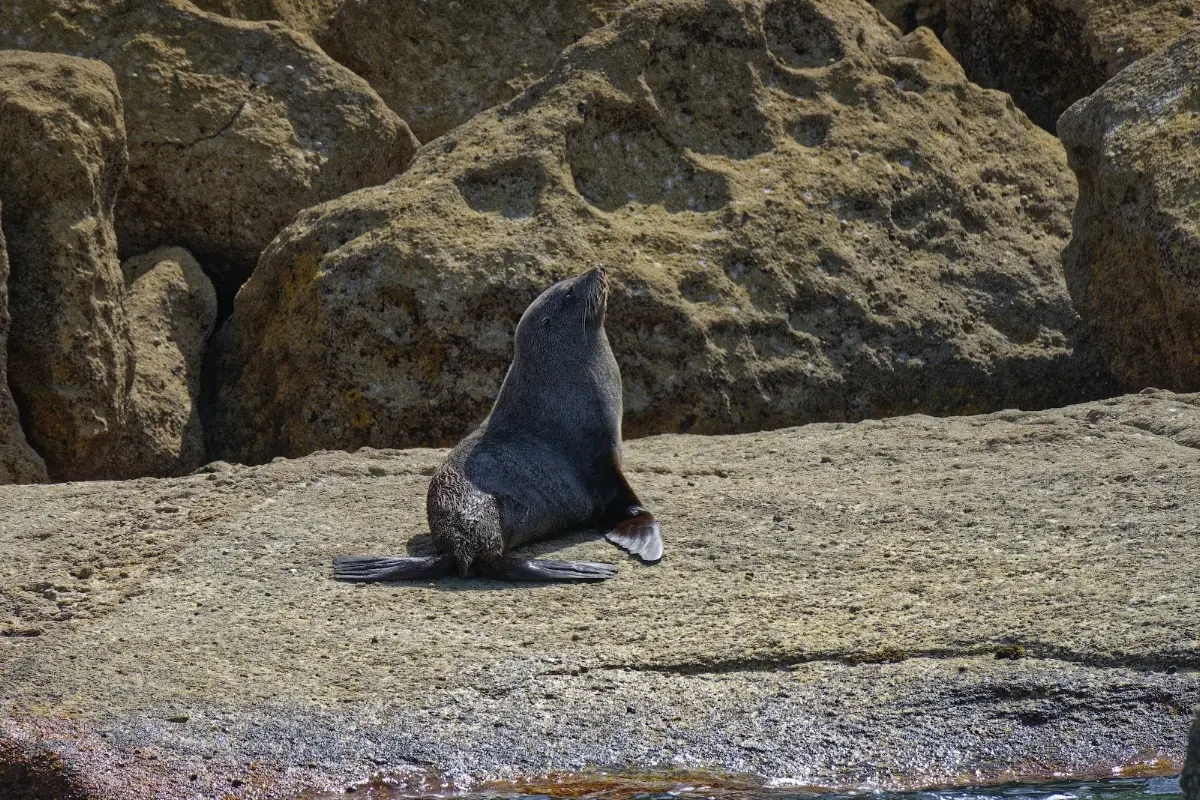
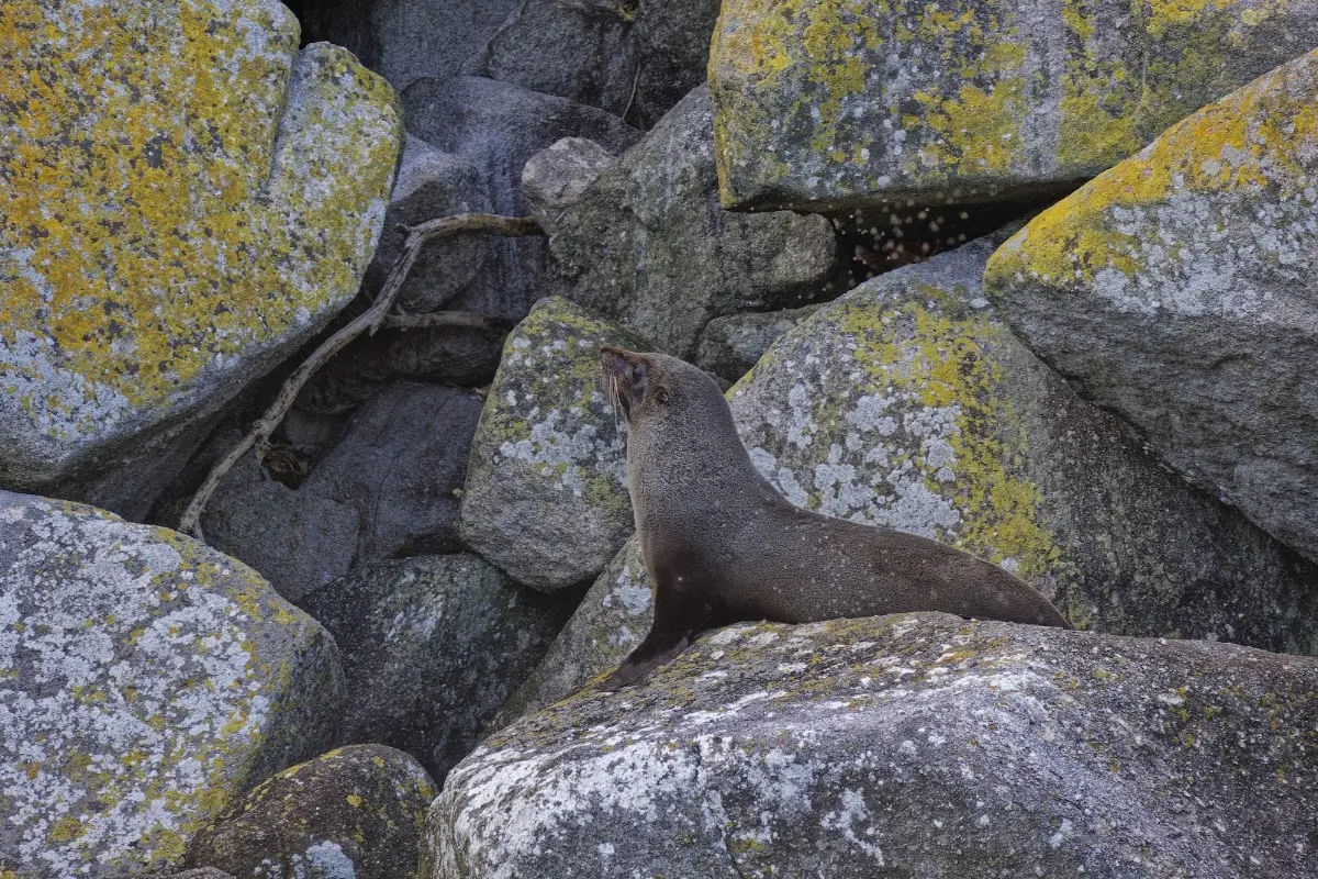
<p class="img-caption">A New Zealand fur seal soaking up the sun on a rock — the water taxi swings past the local colony.</p>

<p><div class="image-container"><img class="modal-image" data-large-src="img_nz10_abeltasman/20151123_152417_large.webp" src="img_nz10_abeltasman/20151123_152417.webp"/></div></p>
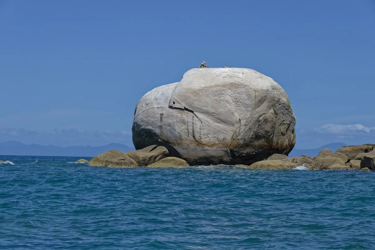
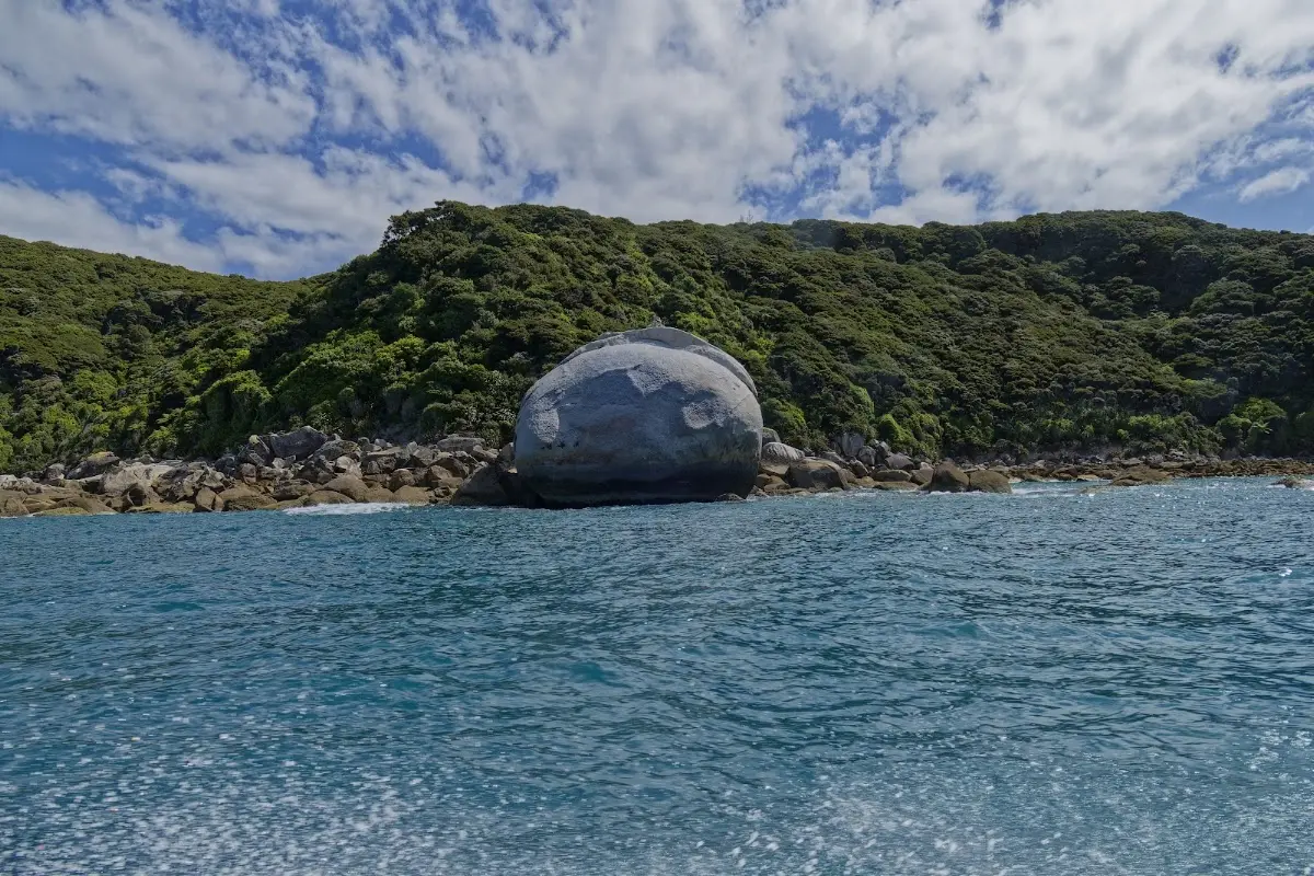
<p class="img-caption">A huge, split granite boulder rising straight out of the sea — a landmark every water taxi passes.</p>

<p><div class="image-container"><img class="modal-image" data-large-src="img_nz10_abeltasman/20151123_152511_large.webp" src="img_nz10_abeltasman/20151123_152511.webp"/></div></p>

<p><div class="image-container"><img class="modal-image" data-large-src="img_nz10_abeltasman/20151123_153038_large.webp" src="img_nz10_abeltasman/20151123_153038.webp"/></div></p>

<p><div class="image-container"><img class="modal-image" data-large-src="img_nz10_abeltasman/20151123_162843_large.webp" src="img_nz10_abeltasman/20151123_162843.webp"/></div></p>

<p><div class="image-container"><img class="modal-image" data-large-src="img_nz10_abeltasman/20151123_163001_large.webp" src="img_nz10_abeltasman/20151123_163001.webp"/></div></p>


<p></p>
<p><a href="nz11_arthurspass.php">...next chapter</a>.</p>

<div id="myModal" class="modal">
  <span class="close">&times;</span>

  <!-- Navigation buttons -->
  <span class="prev">&#10094;</span>
  <span class="next">&#10095;</span>

  <img class="modal-content" id="img01">
  <div id="caption"></div>
</div>


<?php
// Show related trips with matching tags
include '../includes/related_trips.php';
?>

</div>
<?php include '../nav/tail.php';?>