<?php include '../nav/top.php';?>
<title>Biking and Hiking New Zealand</title>
<meta content="new zealand, bicycle tour" name="keywords"/>
<meta content="Biking and Hiking New Zealand" name="description"/>
<?php include '../nav/head3rd.php';?>

<!-- Sidebar -->

<?php include 'sidebarnz.php';?>

<!-- Overlay effect when opening sidebar on small screens -->

<div class="w3-overlay w3-hide-large" onclick="w3_close()" style="cursor:pointer" title="close side menu" id="myOverlay"></div>

<!-- Main content: shift it to the right by 300 pixels when the sidebar is visible -->
<div class="w3-main main-content" style="margin-left:300px">
  <div class="w3-row w3-padding-64 w3-container">


<?php
$trip_meta = [
    "year"     => "2015/2016",
    "distance" => "10050 km",
    "tags"     => ["Oceania","New Zealand", "Mountains"],
    "url"      => "../2016/nz03_ninetymilebeach.php"
];
include '../includes/trip_summary.php';
?>

<div class="w3-large trip-content">
<h2 class="w3-text-blue">Biking and Hiking New Zealand - Cape Reinga, Ninety Mile Beach, Tāne Mahuta</h2>


<div class="w3-row w3-padding-32">
<b>Tuesday, October 27 2015</b>
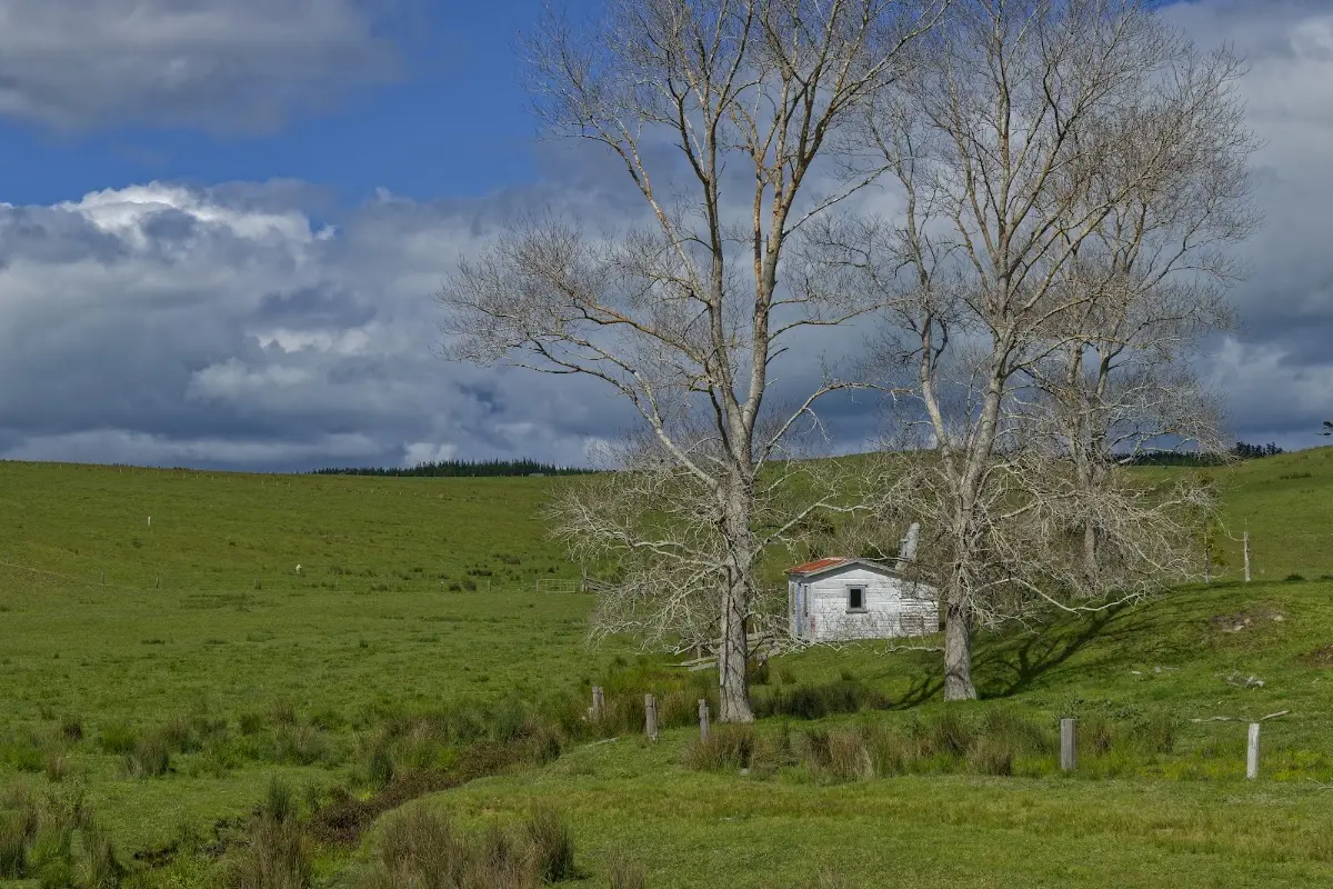
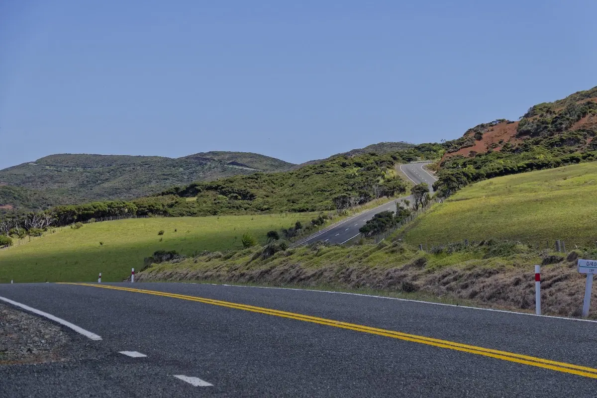
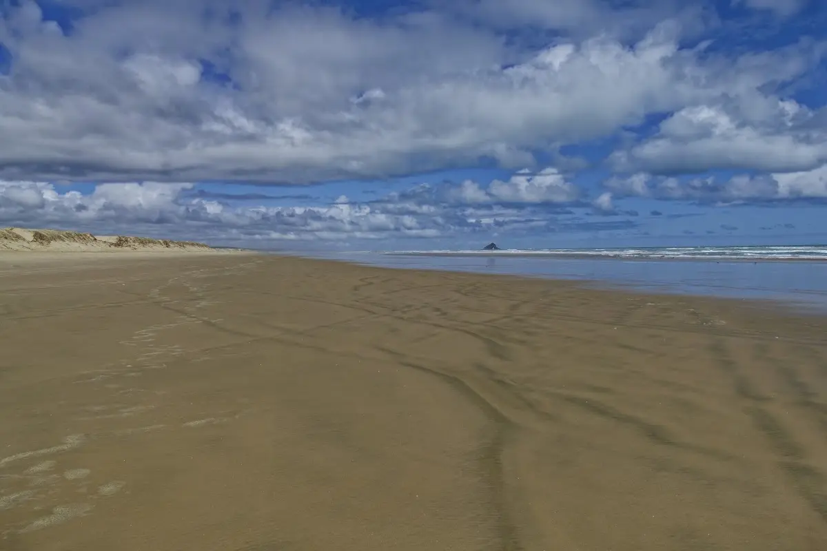
<p>I arrived at Cape Reinga around noon. After the hills on the way up, I turned west again and rode about 40 km along Ninety Mile Beach. High tide was approaching, so I left the beach again and continued back through the forested inland sections toward Pukenui and my campsite from the previous night.
I should have left my luggage there before going to the cape, but I had not thought of it. Fish and chips from a local takeaway in the evening. Today: 155 km in 9 hours 10 minutes, average speed 17 km/h.</p>
</div>

<p><div class="image-container"><img class="modal-image" data-large-src="img_nz03_ninetymilebeach/20151027_102537_large.webp" src="img_nz03_ninetymilebeach/20151027_102537.webp"/></div></p>

<p><div class="image-container"><img class="modal-image" data-large-src="img_nz03_ninetymilebeach/20151027_102612_large.webp" src="img_nz03_ninetymilebeach/20151027_102612.webp"/></div>
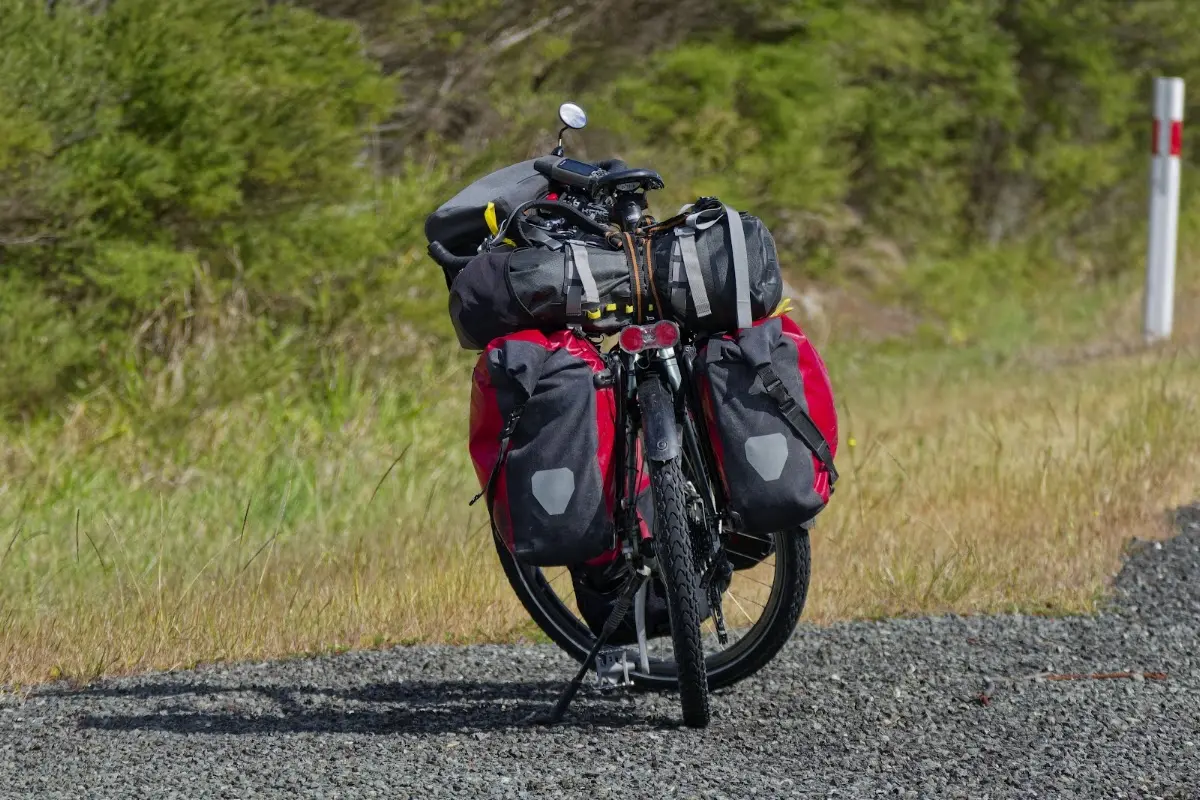
<p class="img-caption">Loaded and rolling early, well before the day's heat set in.</p></p>

<p><div class="image-container"><img class="modal-image" data-large-src="img_nz03_ninetymilebeach/20151027_120705_large.webp" src="img_nz03_ninetymilebeach/20151027_120705.webp"/></div></p>

<p><div class="image-container"><img class="modal-image" data-large-src="img_nz03_ninetymilebeach/20151027_120722_large.webp" src="img_nz03_ninetymilebeach/20151027_120722.webp"/></div></p>

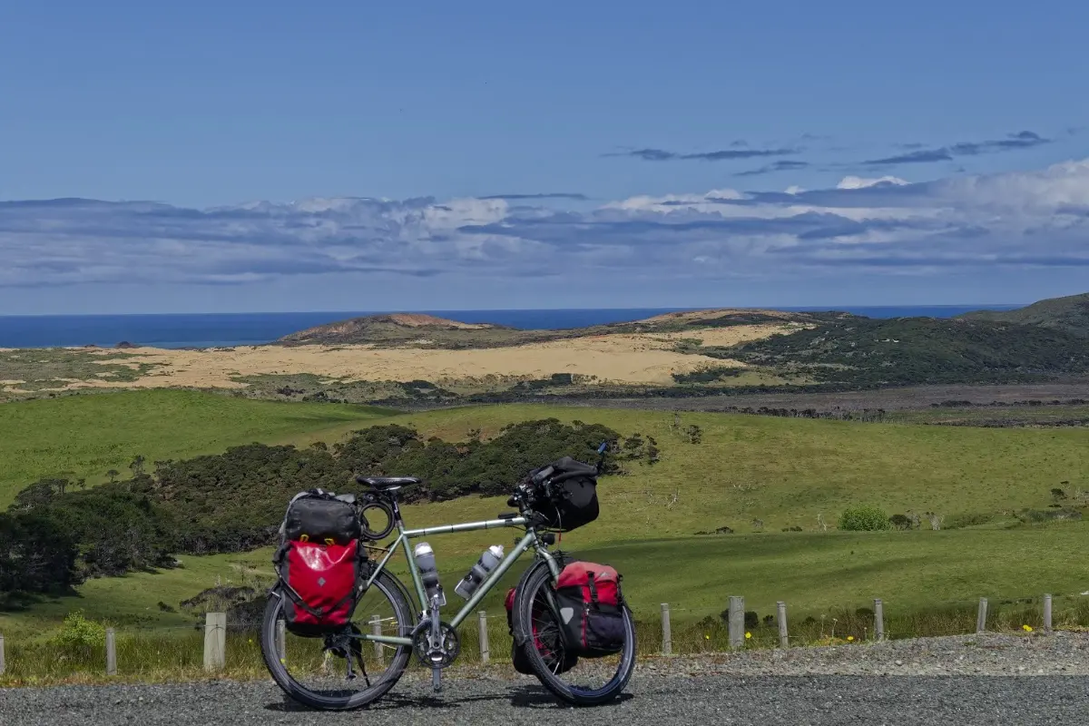
<p><div class="image-container"><img class="modal-image" data-large-src="img_nz03_ninetymilebeach/20151027_120800_large.webp" src="img_nz03_ninetymilebeach/20151027_120800.webp"/></div>
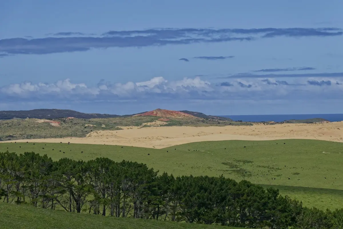
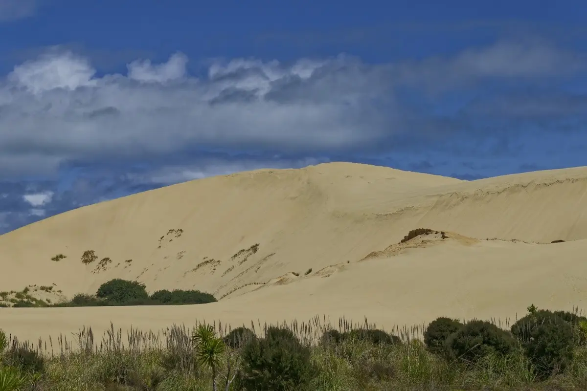
<p class="img-caption">The bike, the dunes, and the sea — somewhere on the Aupōuri Peninsula, closing in on the cape.</p></p>

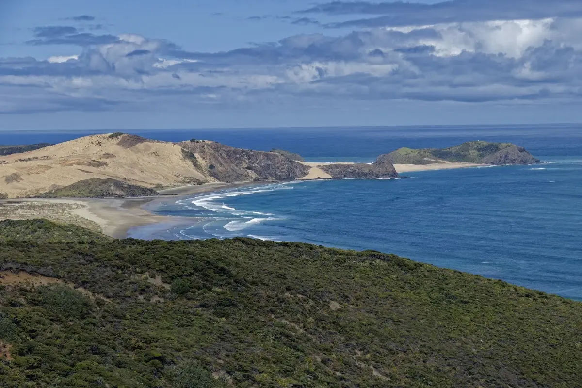
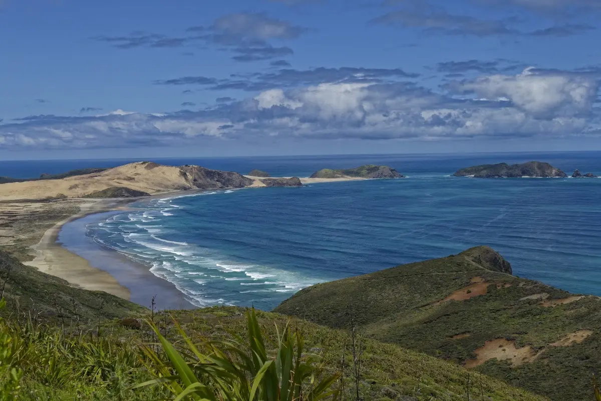
<p><div class="image-container"><img class="modal-image" data-large-src="img_nz03_ninetymilebeach/20151027_122936_large.webp" src="img_nz03_ninetymilebeach/20151027_122936.webp"/></div>
<p class="img-caption">First glimpse of the coastline near the very top of the country — dunes, cliffs, and small islands scattered offshore.</p></p>

<p><div class="image-container"><img class="modal-image" data-large-src="img_nz03_ninetymilebeach/20151027_123759_large.webp" src="img_nz03_ninetymilebeach/20151027_123759.webp"/></div></p>

<p><div class="image-container"><img class="modal-image" data-large-src="img_nz03_ninetymilebeach/20151027_124223_large.webp" src="img_nz03_ninetymilebeach/20151027_124223.webp"/></div></p>


<div class="w3-row w3-padding-32">
<div class="w3-card-1 w3-border w3-round">
<header class="w3-container w3-theme-green w3-round">
<h4>Cape Reinga</h4>
</header>
<div class="w3-container">
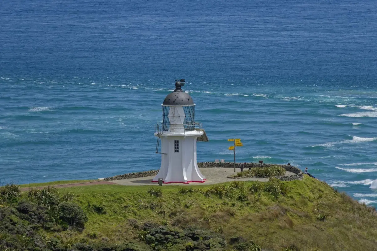
<p>Cape Reinga, or Te Rerenga Wairua, is one of the most spiritually significant places in New Zealand. In Māori tradition it is where the spirits of the dead leave the land and begin their journey to Hawaiki, descending by the roots of an ancient pōhutukawa tree clinging to the headland — hence the name, often translated as "the leaping-off place of spirits."</p>

<p>Geographically, the cape sits near the northwestern tip of the Aupōuri Peninsula, where the Tasman Sea and the Pacific Ocean meet in a dramatic swirl of currents. Most visitors assume it's the northernmost point of New Zealand — that title actually belongs to the Surville Cliffs farther east — but Cape Reinga remains the country's iconic end-of-the-road destination, and the northern terminus of the Te Araroa trail.</p>
</div>
</div>
</div>

<p><div class="image-container"><img class="modal-image" data-large-src="img_nz03_ninetymilebeach/20151027_124305_large.webp" src="img_nz03_ninetymilebeach/20151027_124305.webp"/></div>
<p class="img-caption">The Cape Reinga lighthouse — automated since 1987, but still the visual anchor of the whole headland.</p></p>

<p><div class="image-container"><img class="modal-image" data-large-src="img_nz03_ninetymilebeach/20151027_140058_large.webp" src="img_nz03_ninetymilebeach/20151027_140058.webp"/></div></p>

<p><div class="image-container"><img class="modal-image" data-large-src="img_nz03_ninetymilebeach/20151027_140443_large.webp" src="img_nz03_ninetymilebeach/20151027_140443.webp"/></div></p>

<p><div class="image-container"><img class="modal-image" data-large-src="img_nz03_ninetymilebeach/20151027_140458_large.webp" src="img_nz03_ninetymilebeach/20151027_140458.webp"/></div></p>

<p><div class="image-container"><img class="modal-image" data-large-src="img_nz03_ninetymilebeach/20151027_144212_large.webp" src="img_nz03_ninetymilebeach/20151027_144212.webp"/></div></p>


<div class="w3-row w3-padding-32">
<div class="w3-card-1 w3-border w3-round">
<header class="w3-container w3-theme-green w3-round">
<h4>Ninety Mile Beach</h4>
</header>
<div class="w3-container">
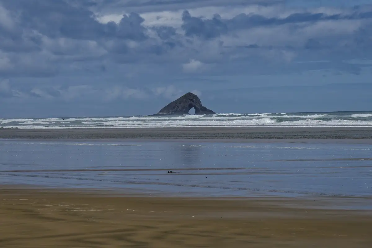
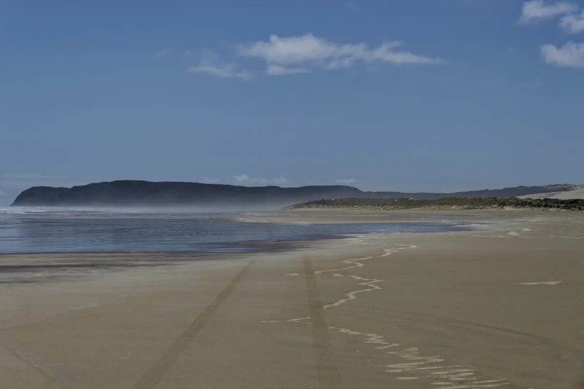
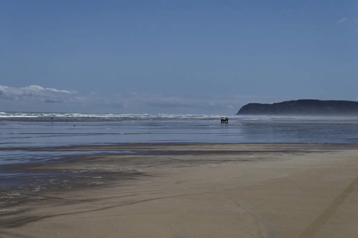
<p>Te Oneroa-a-Tōhē, better known as Ninety Mile Beach, runs about 88 kilometres down the western side of the Aupōuri Peninsula — the English name probably came from early travellers misjudging its length by travel time rather than distance. Officially classed as a public highway, it's both a scenic landmark and a working route, and today also forms part of the Te Araroa trail. For cyclists and drivers alike, it's one of the most distinctive stretches of coast in New Zealand.</p>
</div>
</div>
</div>

<p><div class="image-container"><img class="modal-image" data-large-src="img_nz03_ninetymilebeach/20151027_144221_large.webp" src="img_nz03_ninetymilebeach/20151027_144221.webp"/></div>
<p class="img-caption">One of the beach's landmark rock formations, standing alone in the surf.</p></p>

<p><div class="image-container"><img class="modal-image" data-large-src="img_nz03_ninetymilebeach/20151027_144234_large.webp" src="img_nz03_ninetymilebeach/20151027_144234.webp"/></div></p>

<p><div class="image-container"><img class="modal-image" data-large-src="img_nz03_ninetymilebeach/20151027_144247_large.webp" src="img_nz03_ninetymilebeach/20151027_144247.webp"/></div>
<p class="img-caption">Ninety Mile Beach living up to its billing as a public highway — a lone vehicle using it exactly as intended.</p></p>

<p><div class="image-container"><img class="modal-image" data-large-src="img_nz03_ninetymilebeach/20151027_161935_large.webp" src="img_nz03_ninetymilebeach/20151027_161935.webp"/></div>
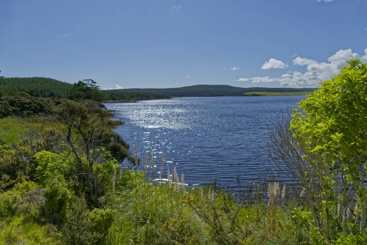
<p class="img-caption">A quiet lake back inland — a calm contrast after an afternoon on the open beach.</p></p>


<div class="w3-row w3-padding-32">
<b>Wednesday, October 28 2015</b>
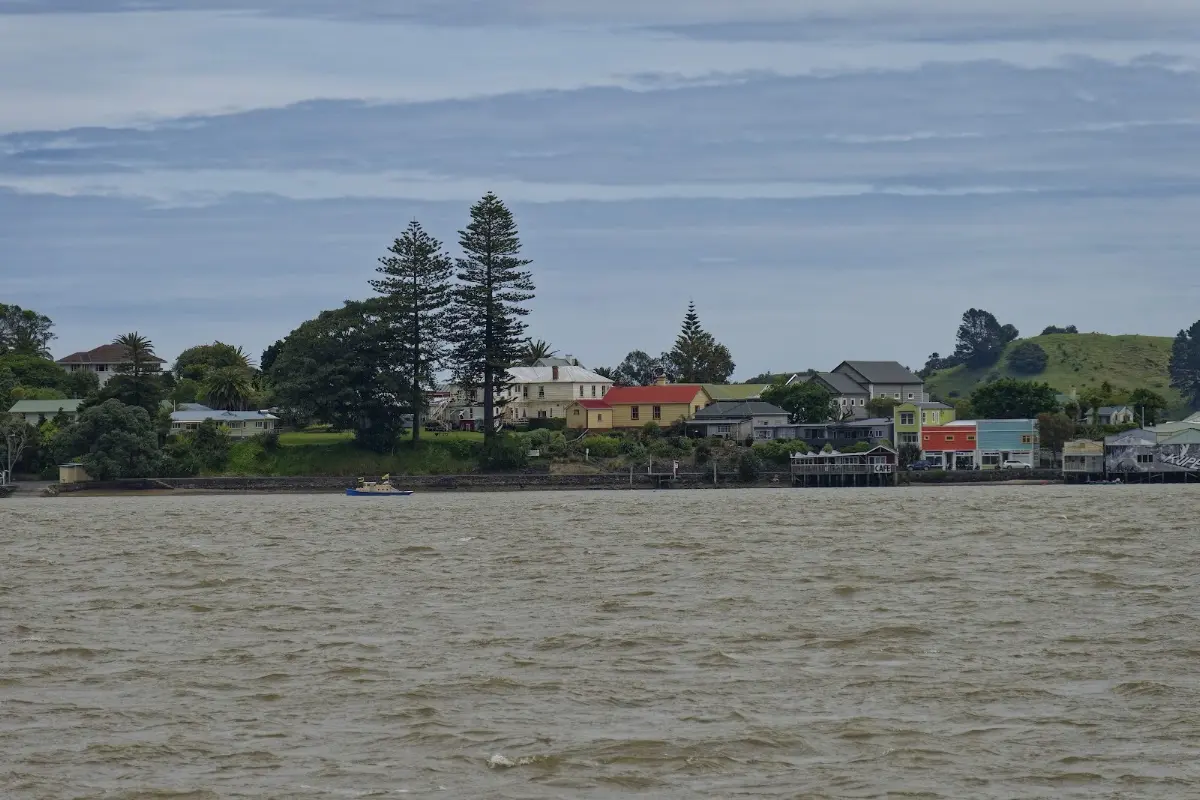
<p>Back along part of the route I had already travelled, first to a café for coffee and a sandwich. Kaitaia was the next stop, then over the pass toward Mangamuka and down to the ferry at Rawene. There I met a woman from Austria travelling by bike, whom I would meet again later near Tāne Mahuta.
I decided to make it a longer day and cycled on to the Department of Conservation campsite near Tāne Mahuta. There was a shower and a kitchen, which was all I needed. Soup with noodles in the evening. Bad weather is forecast for the next few days. Today: 173 km in 8 hours 40 minutes, average speed 20 km/h.</p>
</div>

<p><div class="image-container"><img class="modal-image" data-large-src="img_nz03_ninetymilebeach/20151028_092102_large.webp" src="img_nz03_ninetymilebeach/20151028_092102.webp"/></div>
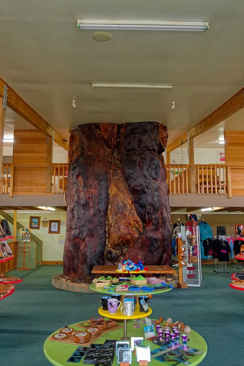
<p class="img-caption">A hollowed and polished kauri swamp-log, doing duty as a gift-shop centrepiece — a reminder of just how large these trees get, long before you actually see one standing.</p></p>

<p><div class="image-container"><img class="modal-image" data-large-src="img_nz03_ninetymilebeach/20151028_120740_large.webp" src="img_nz03_ninetymilebeach/20151028_120740.webp"/></div>
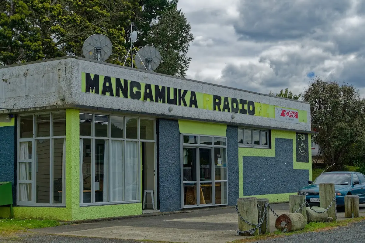
<p class="img-caption">Mangamuka Radio — one of those small-town shopfronts that's clearly wearing several hats at once.</p></p>

<p><div class="image-container"><img class="modal-image" data-large-src="img_nz03_ninetymilebeach/20151028_134410_large.webp" src="img_nz03_ninetymilebeach/20151028_134410.webp"/></div>
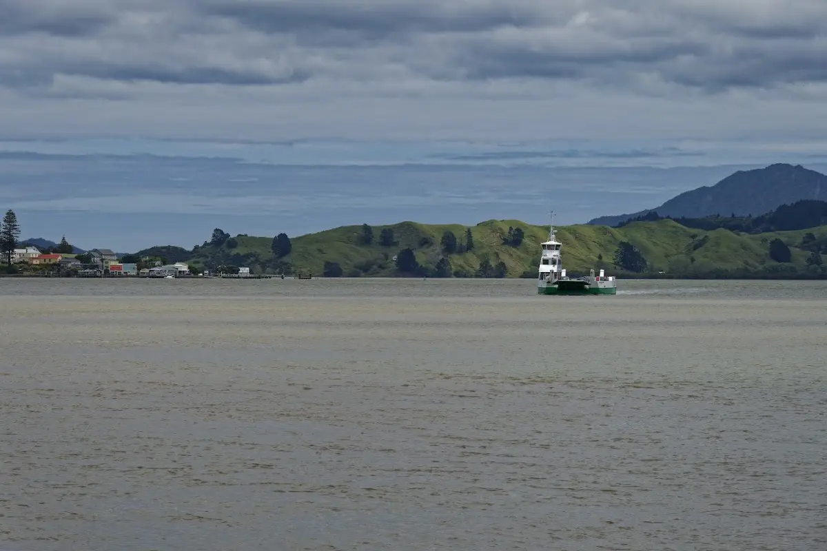
<p class="img-caption">The car ferry across the Hokianga Harbour at Rawene — the quickest way from the west coast road onward.</p></p>

<p><div class="image-container"><img class="modal-image" data-large-src="img_nz03_ninetymilebeach/20151028_140615_large.webp" src="img_nz03_ninetymilebeach/20151028_140615.webp"/></div>
<p class="img-caption">Rawene's waterfront from the ferry — one of New Zealand's oldest European settlements, though you'd barely guess it from the size of the place today.</p></p>

<p><div class="image-container"><img class="modal-image" data-large-src="img_nz03_ninetymilebeach/20151028_155821_large.webp" src="img_nz03_ninetymilebeach/20151028_155821.webp"/></div>
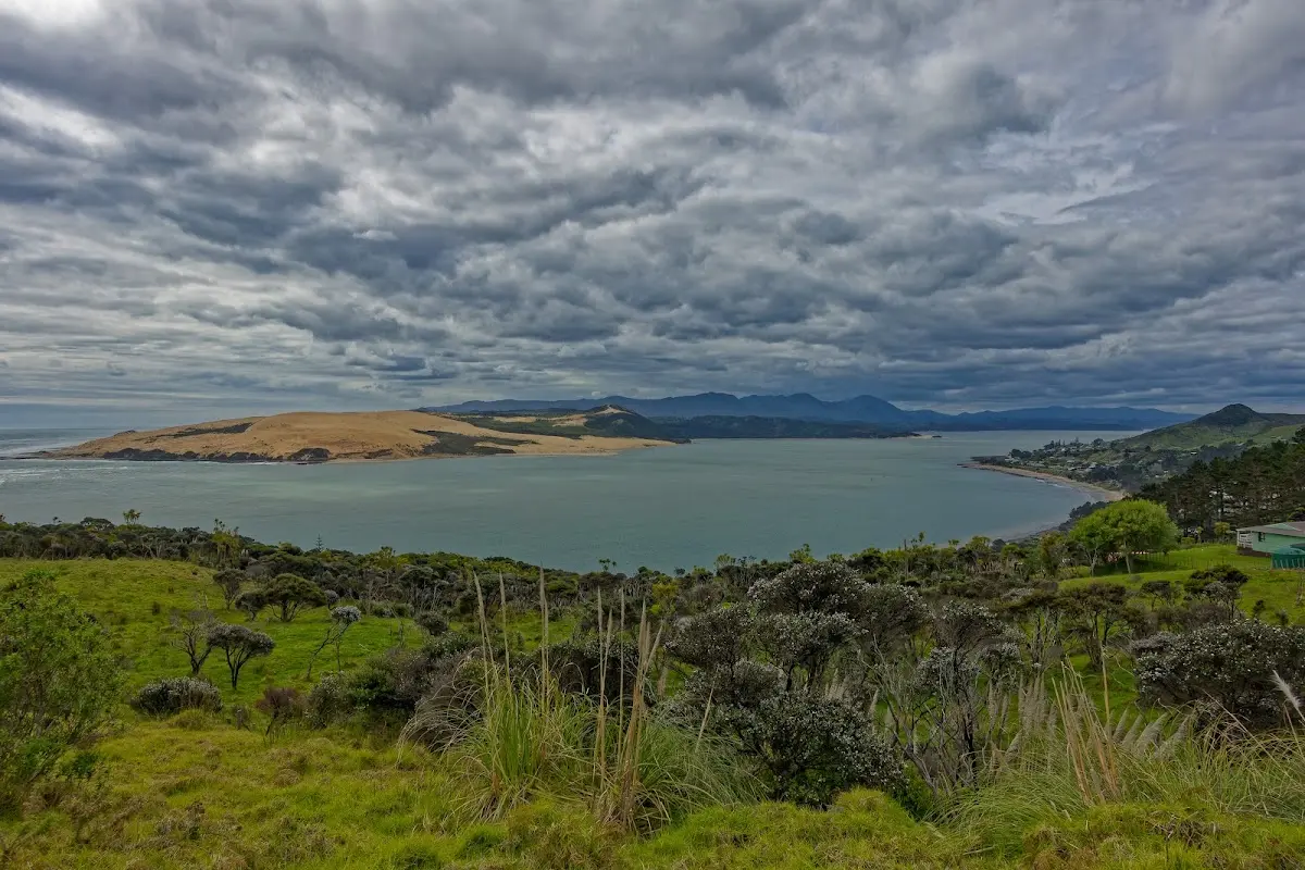
<p class="img-caption">The Hokianga Harbour opening out toward the sea, its own giant dunes on the far side.</p></p>

<p><div class="image-container"><img class="modal-image" data-large-src="img_nz03_ninetymilebeach/20151028_172734_large.webp" src="img_nz03_ninetymilebeach/20151028_172734.webp"/></div>
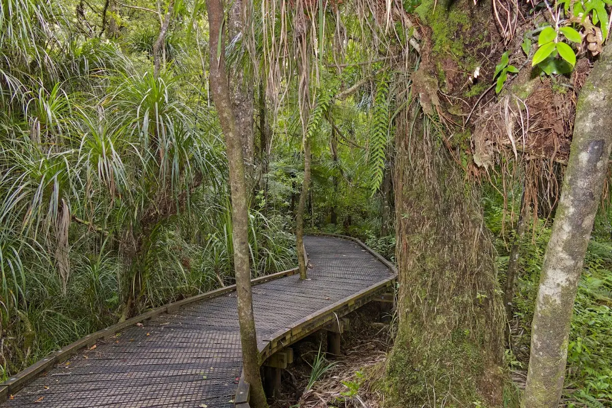
<p class="img-caption">The boardwalk into Waipoua Forest — the last stretch before Tāne Mahuta itself.</p></p>

<p><div class="image-container"><img class="modal-image" data-large-src="img_nz03_ninetymilebeach/20151028_172842_large.webp" src="img_nz03_ninetymilebeach/20151028_172842.webp"/></div>
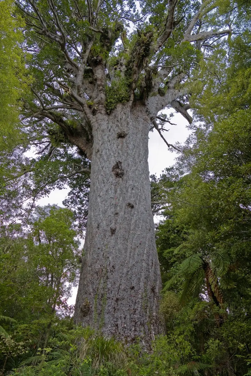
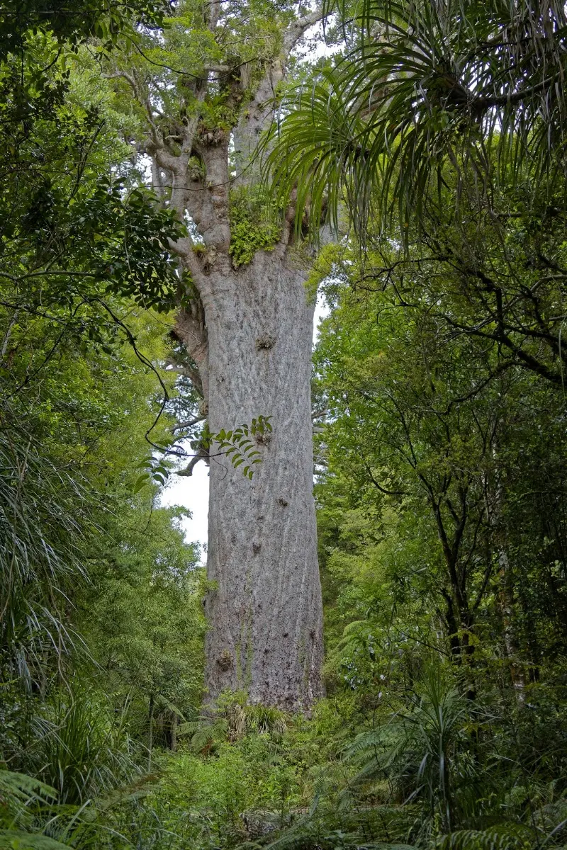
<p class="img-caption">Tāne Mahuta itself — photographs never quite convey the scale until you're standing under it.</p></p>


<div class="w3-row w3-padding-32">
<div class="w3-card-1 w3-border w3-round">
<header class="w3-container w3-theme-green w3-round">
<h4>Tāne Mahuta - Lord of the Forest</h4>
</header>
<div class="w3-container">
<p>You are in the presence of one of the most ancient of trees.</p>
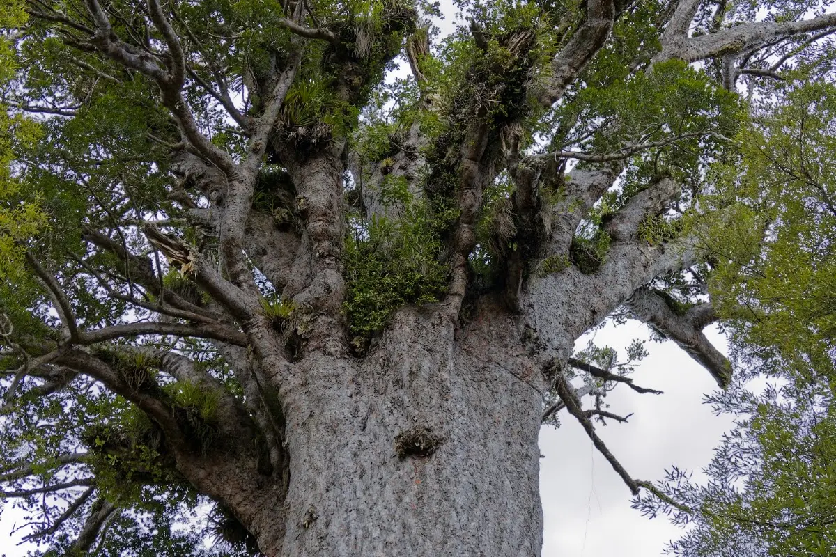
<p>Tāne Mahuta, "Lord of the Forest," is the largest living kauri tree in New Zealand and one of the country's most revered natural landmarks. It stands in Waipoua Forest and is thought to be around 2,000 years old, though its exact age is impossible to pin down. The trunk alone rises nearly 18 metres before the first branches begin, with the tree's full height topping 50 metres.</p>
<p>In Māori cosmology, Tāne is the god of forests and birds, child of Ranginui the sky father and Papatūānuku the earth mother — so the name carries as much spiritual as botanical weight. Tāne Mahuta is part of a wider living forest rather than an isolated curiosity, and the protected walkways around it exist for good reason: kauri roots are shallow and easily damaged. Waipoua itself, not just this one tree, is one of the most important kauri forests left in the country.
</p>
</div>
</div>
</div>

<p><div class="image-container"><img class="modal-image" data-large-src="img_nz03_ninetymilebeach/20151028_172854_large.webp" src="img_nz03_ninetymilebeach/20151028_172854.webp"/></div></p>

<p><div class="image-container"><img class="modal-image" data-large-src="img_nz03_ninetymilebeach/20151028_173112_large.webp" src="img_nz03_ninetymilebeach/20151028_173112.webp"/></div></p>


<div class="w3-row w3-padding-32">
<b>Thursday, October 29 2015</b>
<p>I started in light drizzle and reached Dargaville around 1 p.m. after plenty of ups and downs. It became a little drier for a while, but then the rain returned and stayed with me all the way to the campsite in Mangawhai.
There I met Lio, an Italian girl working as a helper at the campsite. She wants to walk 3,000 km to Bluff. I am not sure whether she realises how long that really takes if you walk only 15 to 20 km a day. She had already been on the road for four weeks from Cape Reinga. We exchanged email addresses.
I hope there will be more sun tomorrow. Everything is very wet here, and the grass is full of water. I just hope the night stays dry so the water does not come in from underneath. Today: 155 km in 8 hours 14 minutes.</p>
</div>

<p><div class="image-container"><img class="modal-image" data-large-src="img_nz03_ninetymilebeach/20151029_124909_large.webp" src="img_nz03_ninetymilebeach/20151029_124909.webp"/></div></p>

<p><div class="image-container"><img class="modal-image" data-large-src="img_nz03_ninetymilebeach/20151029_124917_large.webp" src="img_nz03_ninetymilebeach/20151029_124917.webp"/></div></p>

<p><div class="image-container"><img class="modal-image" data-large-src="img_nz03_ninetymilebeach/20151029_124931_large.webp" src="img_nz03_ninetymilebeach/20151029_124931.webp"/></div>
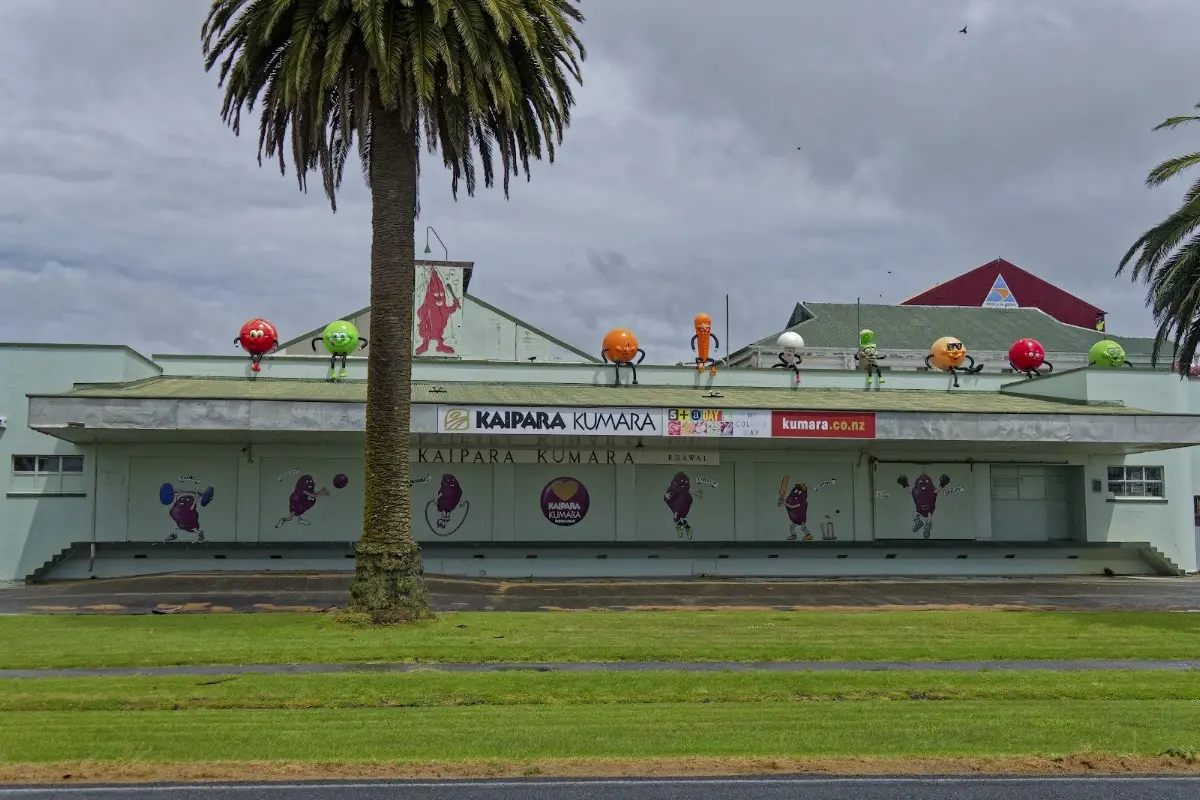
<p class="img-caption">Dargaville's kūmara-growing pride on full display — sports-playing vegetable mascots, roof-mounted.</p></p>


<div class="w3-row w3-padding-32">
<b>Friday, October 30, 2015</b>
<p>Back in Auckland by 14:30, at the campsite in Devonport. I took a slightly different route in the morning. Tomorrow it should be about half an hour to the ferry.
In the evening: rump steak, cider, and three apples. Today: 121.9 km in 6 hours 45 minutes.</p>
</div>

<p><div class="image-container"><img class="modal-image" data-large-src="img_nz03_ninetymilebeach/20151030_134952_large.webp" src="img_nz03_ninetymilebeach/20151030_134952.webp"/></div>
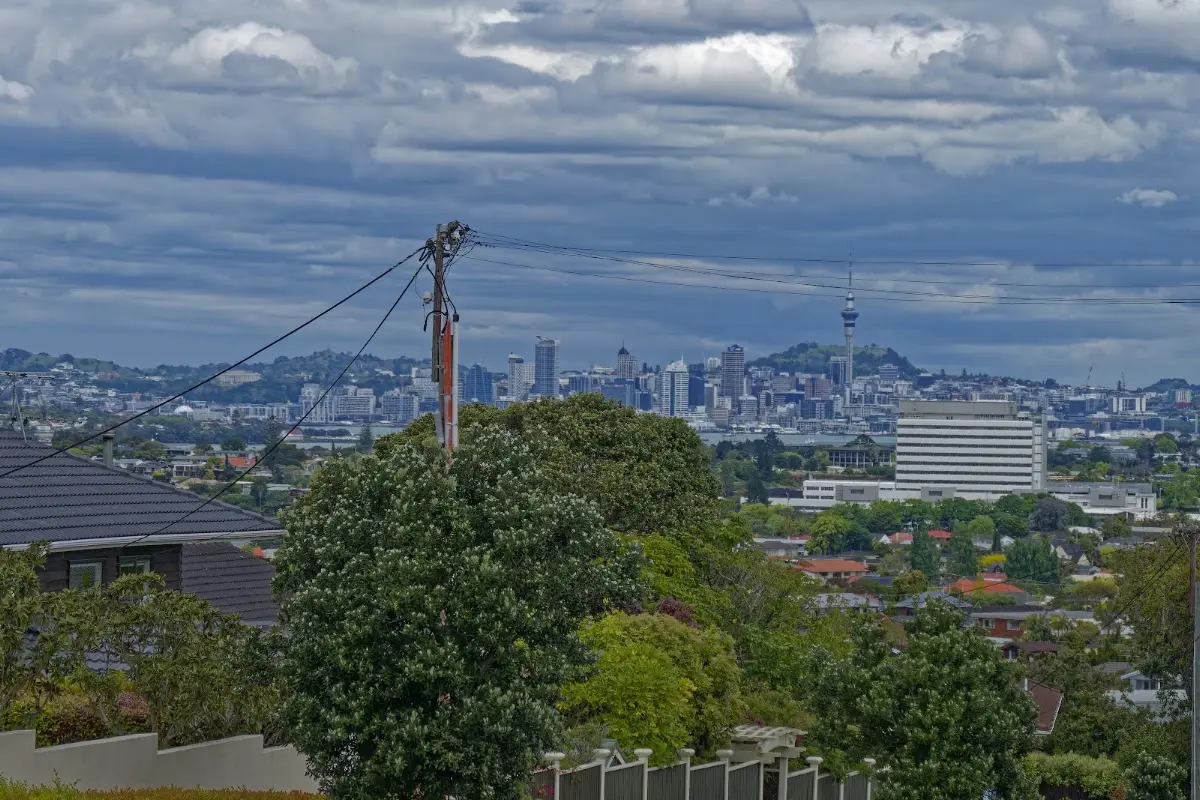
<p class="img-caption">The Auckland skyline reappearing on the way back in — familiar after a week of small towns and farmland.</p></p>

<p><div class="image-container"><img class="modal-image" data-large-src="img_nz03_ninetymilebeach/20151030_162730_large.webp" src="img_nz03_ninetymilebeach/20151030_162730.webp"/></div>
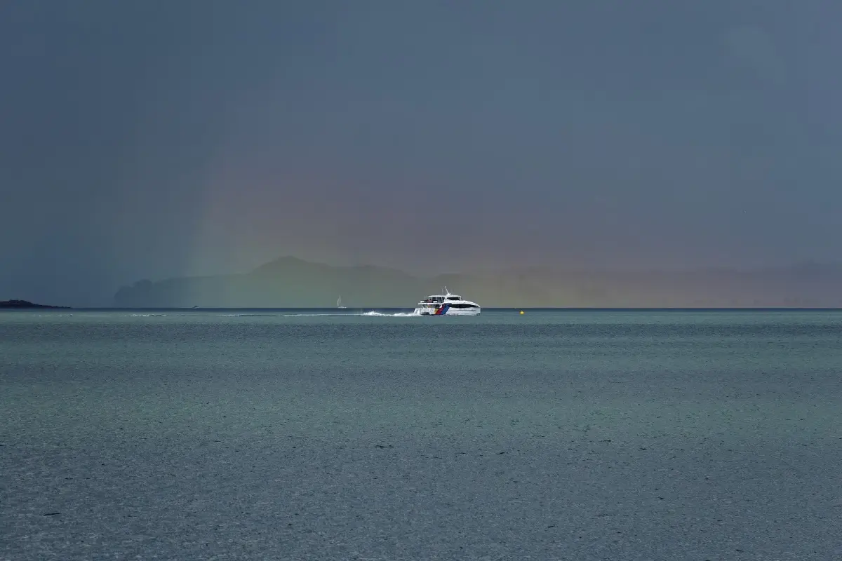
<p class="img-caption">A rain squall and a faint rainbow over the harbour that evening — a fitting send-off for a week that had more than its share of weather.</p></p>

<p><div class="image-container"><img class="modal-image" data-large-src="img_nz03_ninetymilebeach/20151030_162810_large.webp" src="img_nz03_ninetymilebeach/20151030_162810.webp"/></div></p>


<p></p>
<p><a href="nz04_coromandel.php">...next chapter</a>.</p>


<div id="myModal" class="modal">
  <span class="close">&times;</span>

  <!-- Navigation buttons -->
  <span class="prev">&#10094;</span>
  <span class="next">&#10095;</span>

  <img class="modal-content" id="img01">
  <div id="caption"></div>
</div>


<?php
// Show related trips with matching tags
include '../includes/related_trips.php';
?>

</div>
<?php include '../nav/tail.php';?>